13-Day Gokyo Lake Trek: Route, Map & Permits Joyful Eco Treks | Nepal’s Best Trek and Tours Packages

Gokyo Lake Trek | 13 Days

Mount Everest, Solukhumbu District, Nepal

13 Days

Trek-region

Everest

Group Size

1-12 (Private & Small Group)

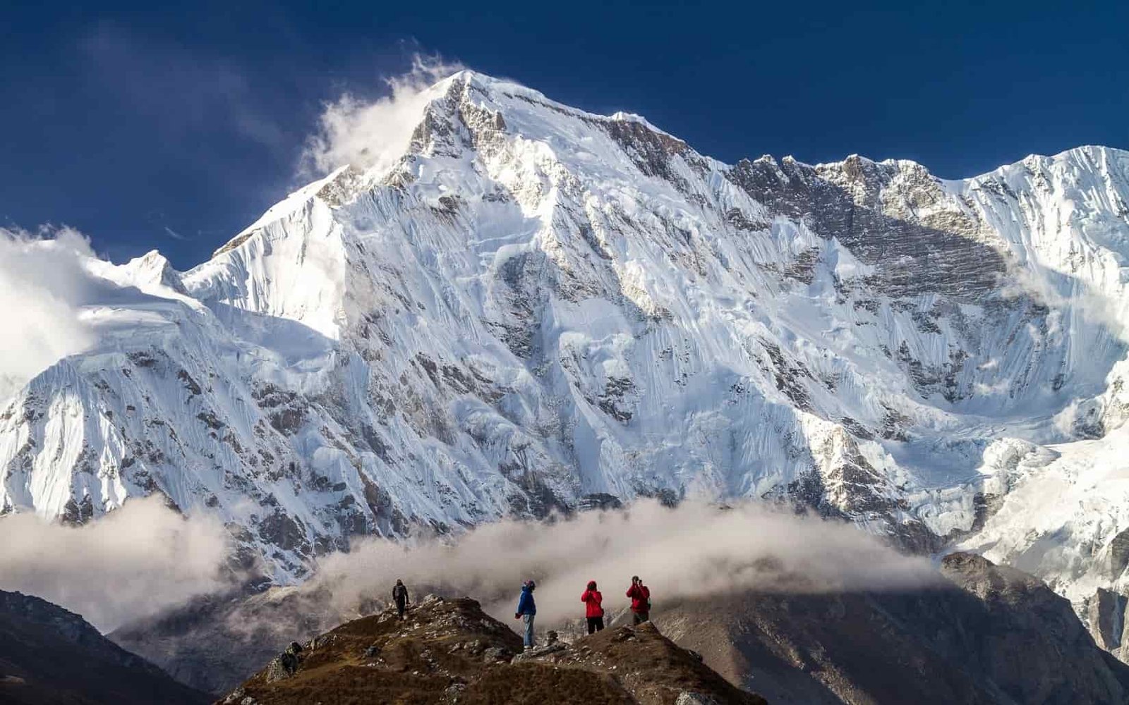
The Gokyo Lake Trek is a 13-day journey into the quieter side of the Everest region. The route begins with a flight to Lukla, then follows the trail through Phakding, Namche Bazaar, Phortse Thanga, Machhermo, and Gokyo village. Along the way, the trail passes Sherpa villages, river valleys, pine forests, yak pastures, and open mountain landscapes.

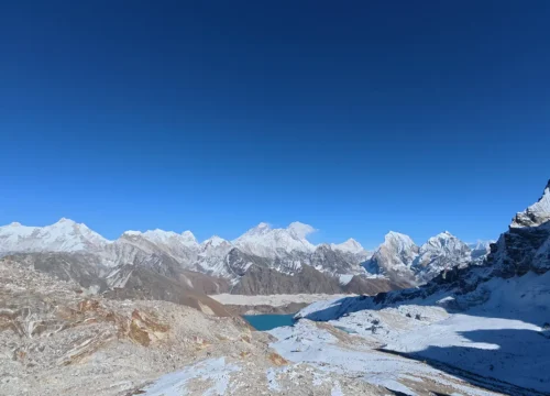
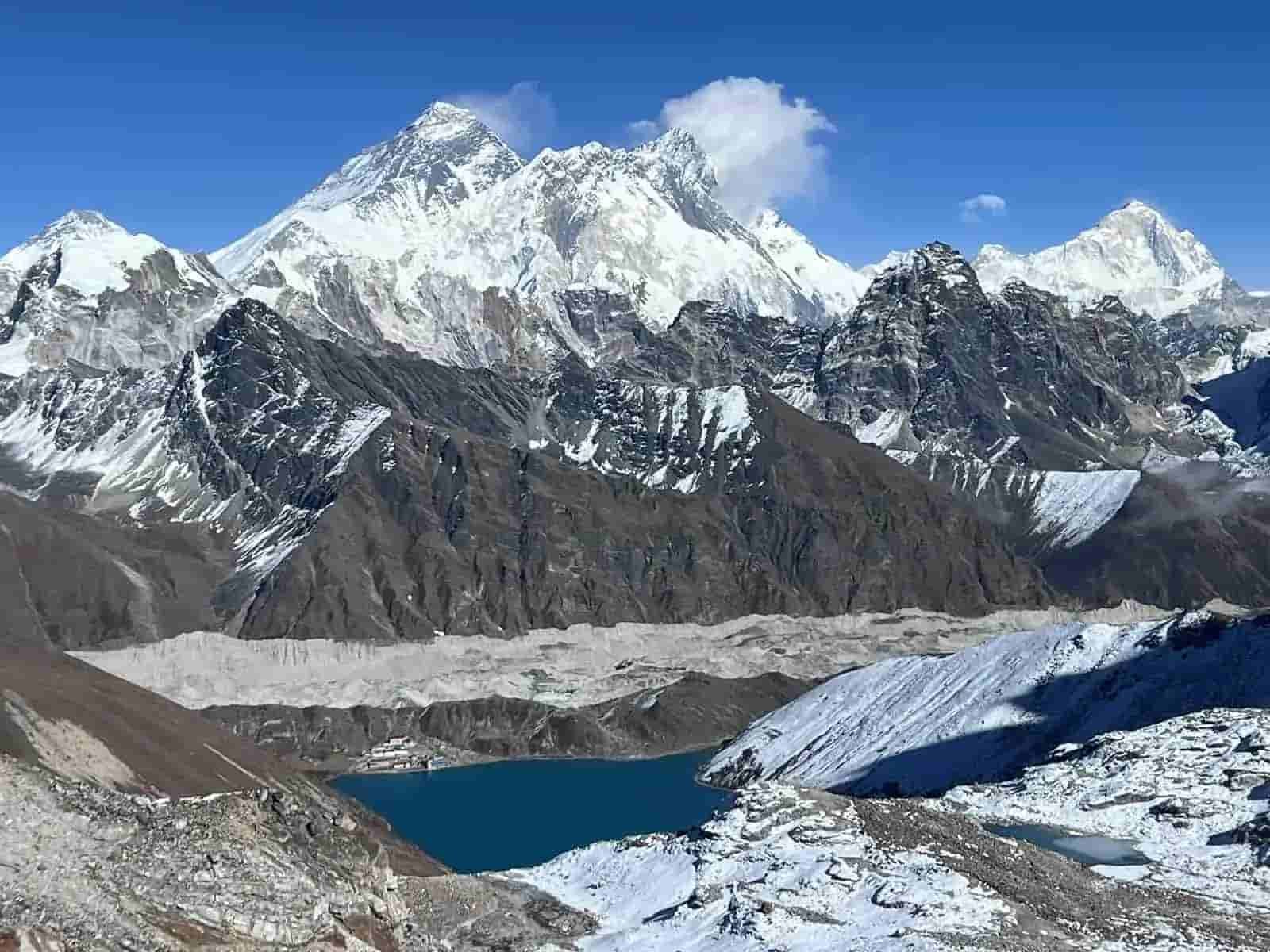
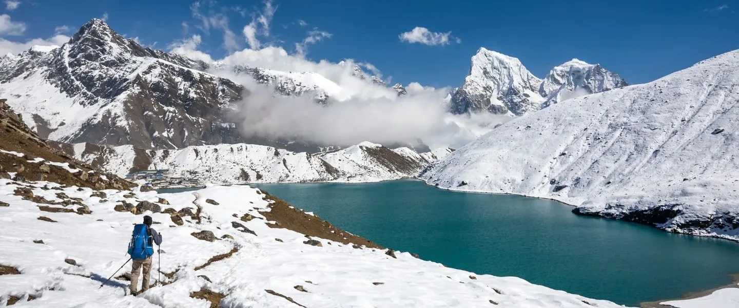
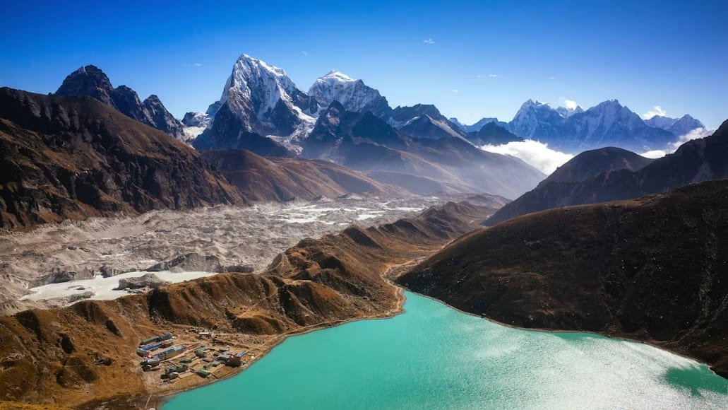
As the trail climbs higher, the scenery becomes more peaceful and dramatic. You reach the turquoise Gokyo Lakes before hiking to Gokyo Ri at 5,357m / 17,575ft. From the top, the view opens towards Everest, Lhotse, Makalu, Cho Oyu, the lake valley, and the Ngozumpa Glacier area.

Trip Info 

  • Lukla
  • Lukla (flight back to Kathmandu or Manthali)
  • Everest (Khumbu), Sagarmatha National Park
  • Approx. 90 to 100 km / 56 to 62 miles, depending on side hikes and route conditions
  • Trekking/Hiking + Scenic Flight
  • Moderate to Challenging
  • Mar to May, Sep to Nov
  • Gokyo Ri, 5,357m / 17,575ft
  • 3 to 7 hours
  • Sagarmatha National Park Permit, Khumbu Pasang Lhamu Rural Municipality Permit
  • Hotels in Kathmandu; Teahouses/Guesthouses during the trek
  • Breakfast, Lunch & Dinner during the trek
  • Licensed guide and porter available, depending on the selected package (1 porter for 2 trekkers)

Why Trek to Gokyo Lakes

The Gokyo Lake Trek focuses on the turquoise Gokyo Lakes, Sherpa culture, and some of the best mountain panoramas in the Khumbu. You follow a quieter valley route compared to the classic EBC trail, with constant views of major Himalayan peaks and a strong sense of wilderness as you gain altitude.

You begin with a flight to Lukla, then trek via Phakding to Namche Bazaar, where you spend an acclimatization day with a hike to Everest View Hotel. The route continues through Phortse Thanga and Machhermo to reach Gokyo (4,800m), set beside the glacial lakes and the vast Ngozumpa Glacier. You then climb Gokyo Ri (5,483m) for sweeping views of Everest, Cho Oyu, Lhotse, and Makalu, before descending via Dole and returning to Lukla.

Trek Highlights 

  • Trek to the pristine Gokyo Lakes in the high Khumbu valley.
  • Visit Gokyo Lakes, one of the most beautiful high-altitude lake areas in the Everest region.
  • Hike to Gokyo Ri at 5,357m / 17,575ft for wide Himalayan views.
  • See Everest, Lhotse, Makalu, Cho Oyu, and nearby snowy peaks from Gokyo Ri.
  • Explore Namche Bazaar, the main Sherpa town and trading center of the Everest region.
  • Follow the quieter trail through Phortse Thanga, Machhermo, Gokyo, Dole, and Khumjung Village.
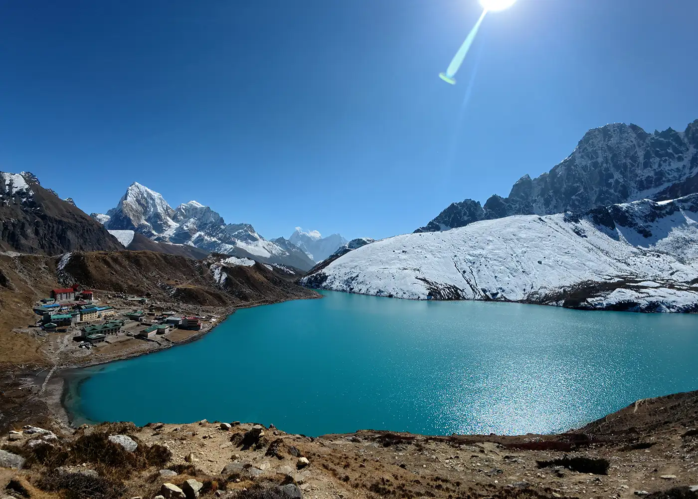
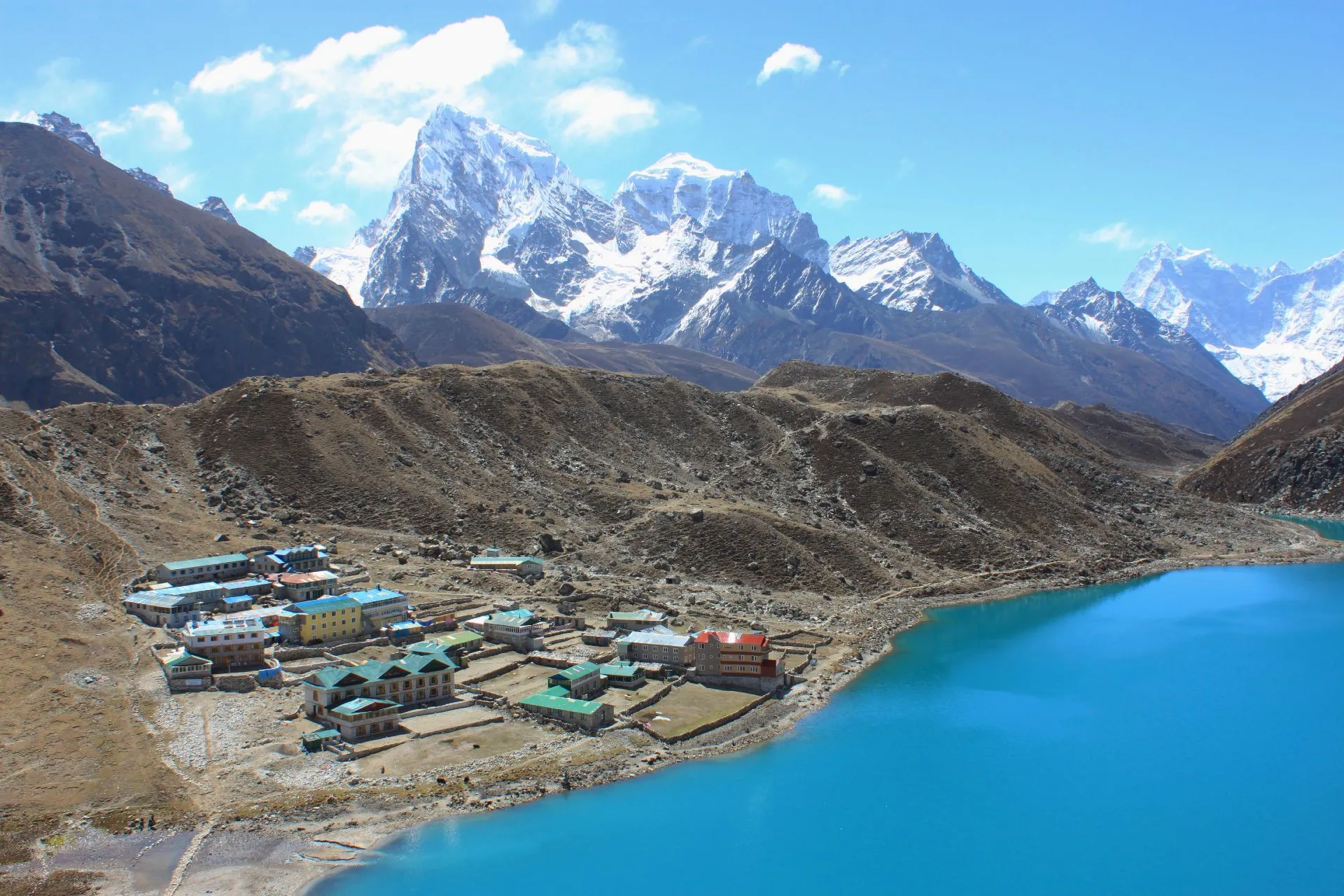
  • Reach Gokyo village, a peaceful settlement near the third Gokyo Lake, Dudh Pokhari.
  • See the Ngozumpa Glacier area, one of the major glacier landscapes of the Khumbu.
  • Walk past pine forests, rivers, suspension bridges, yak pastures, stone houses, and alpine valleys.
  • Experience Sherpa culture through local villages, Buddhist shrines, teahouses, and mountain hospitality.
  • Enjoy a calmer Everest trek with fewer crowds than the classic Everest Base Camp route.
  • Capture sunrise views from Gokyo Ri when the weather is clear and stable.

Tour Plan

The trip begins with your arrival at Tribhuvan International Airport in Kathmandu. Our team welcomes you at the airport and transfers you to the hotel. After check-in, there is time to rest, freshen up, or take a short walk around Thamel.

Later, the trekking guide meets you for a short briefing. The session covers the Gokyo Lake Trek route, Lukla flight plan, daily walking hours, permits, packing needs, and altitude safety.

  • Drive duration: 25 to 30 minutes

  • Drive distance: 5 to 7 km / 3.1 to 4.3 miles, depending on the hotel location

Note: Use this day to check your gear and buy any missing trekking items in Kathmandu.
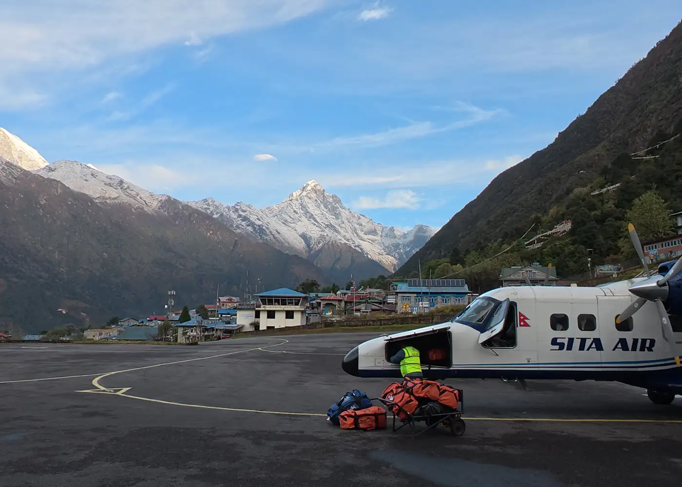
The day starts with an early flight to Lukla, the main gateway to the Everest region. The short flight gives beautiful views of hills, valleys, and distant mountains before landing. After sorting gear and meeting the trekking crew at the airport, the walk begins toward Phakding at a comfortable pace.

The route drops gradually through Chaurikharka and follows the Dudh Koshi River. Mani stones, prayer wheels, small villages, and the first suspension bridges introduce the classic Khumbu trail. You reach Phakding by afternoon and rest well for the climb toward Namche the next day.

  • Flight duration: 30 to 35 minutes from Kathmandu

  • Trek duration: 3 to 4 hours

  • Trek distance: 7 to 8 km / 4.3 to 5 miles

  • Maximum altitude: Lukla, 2,840m / 9,317ft

  • Elevation loss: -230m / -755ft

Note: Lukla flights depend on the weather, so the schedule sometimes changes.

The trail continues along the Dudh Koshi River and crosses several suspension bridges. Pine forests, teahouses, prayer flags, and mani stones make this section lively from the start. Furthermore, small settlements like Benkar add a gentle village feel before the route moves higher.

The trail travels through Monjo and enters Sagarmatha National Park, then follows the river to Jorsalle before the climb begins. After crossing the Hillary Suspension Bridge, you take on the steep final ascent to Namche Bazaar, the Sherpa trading hub with your first clear Himalayan views.

  • Trek duration: 5 to 6 hours

  • Trek distance: Approx. 10 to 11 km / 6.2 to 6.8 miles

  • Maximum altitude: Namche Bazaar, 3,440m / 11,286ft

  • Elevation gain: +830m / +2,724ft

Note: Walk slowly after Jorsalle because the climb to Namche is steep and gains a lot of altitude.

You spend this day in Namche Bazaar to help your body adjust to the altitude. After breakfast, you take a short hike above the town. The trail climbs toward the Everest View Hotel area, where the ridgeline opens to wide Himalayan scenery.

The route then moves through Khumjung and Khunde, two traditional Sherpa villages known for monasteries, stone houses, and mountain life. After the short exploration, you return to Namche. The afternoon stays relaxed with time for bakeries, shops, gear checks, and rest.

  • Hike duration: 2 to 4 hours

  • Hike distance: 4 to 6 km / 2.5 to 3.7 miles

  • Maximum altitude: Everest View Hotel area, approx. 3,880m / 12,730ft

  • Elevation gain/loss: +440m / +1,444ft, then -440m / -1,444ft

Note: During the hike, if you feel a headache, dizziness, or unusual tiredness, immediately inform your guide and return to Namche Bazaar.

The route leaves Namche Bazaar and follows a scenic trail toward Kyangjuma. The path opens to beautiful views of Ama Dablam, Thamserku, and the deep Khumbu valleys. After reaching Sanasa, you leave the main Everest Base Camp trail and turn toward the quieter Gokyo route.

From there, the climb continues to Mong La, a ridge known for wide mountain views. The trail then descends through forested paths toward Phortse Thanga, a small riverside stop below Phortse village.

  • Trek duration: 5 to 6 hours

  • Trek distance: Approx. 6 to 10 km / 3.7 to 6.2 miles

  • Maximum altitude: Mong La area, approx. 3,975m / 13,041ft

  • Elevation gain: +240m / +787ft, with mixed ascent and descent

Note: The day includes steady uphill sections, so keep a comfortable pace.

From Phortse Thanga, the trail rises toward the higher Gokyo Valley. Rhododendron, pine, and juniper trees line the route before it reaches Dole. This small village works well as a rest point, with simple teahouses, hillside views, and a quiet mountain setting.

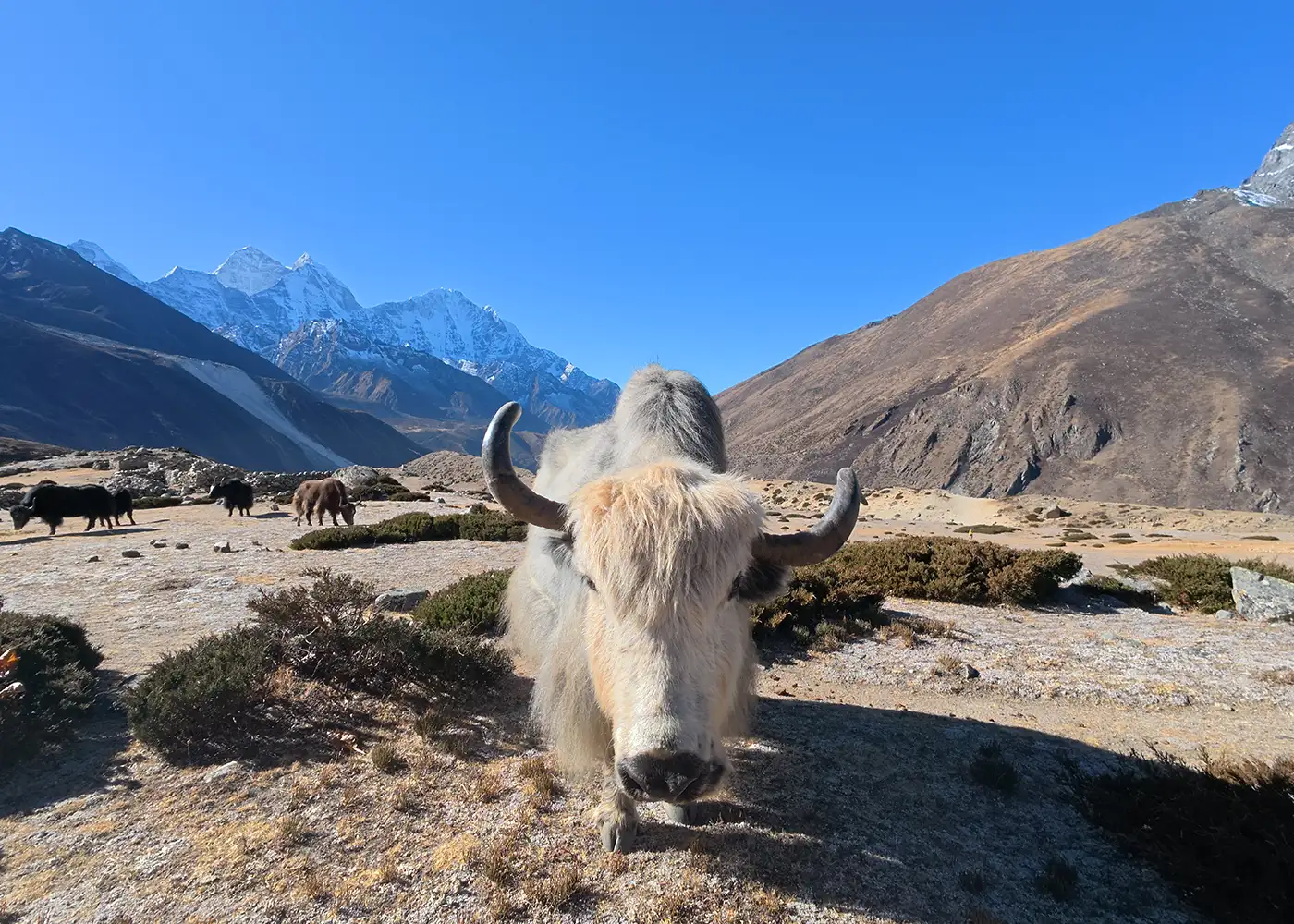
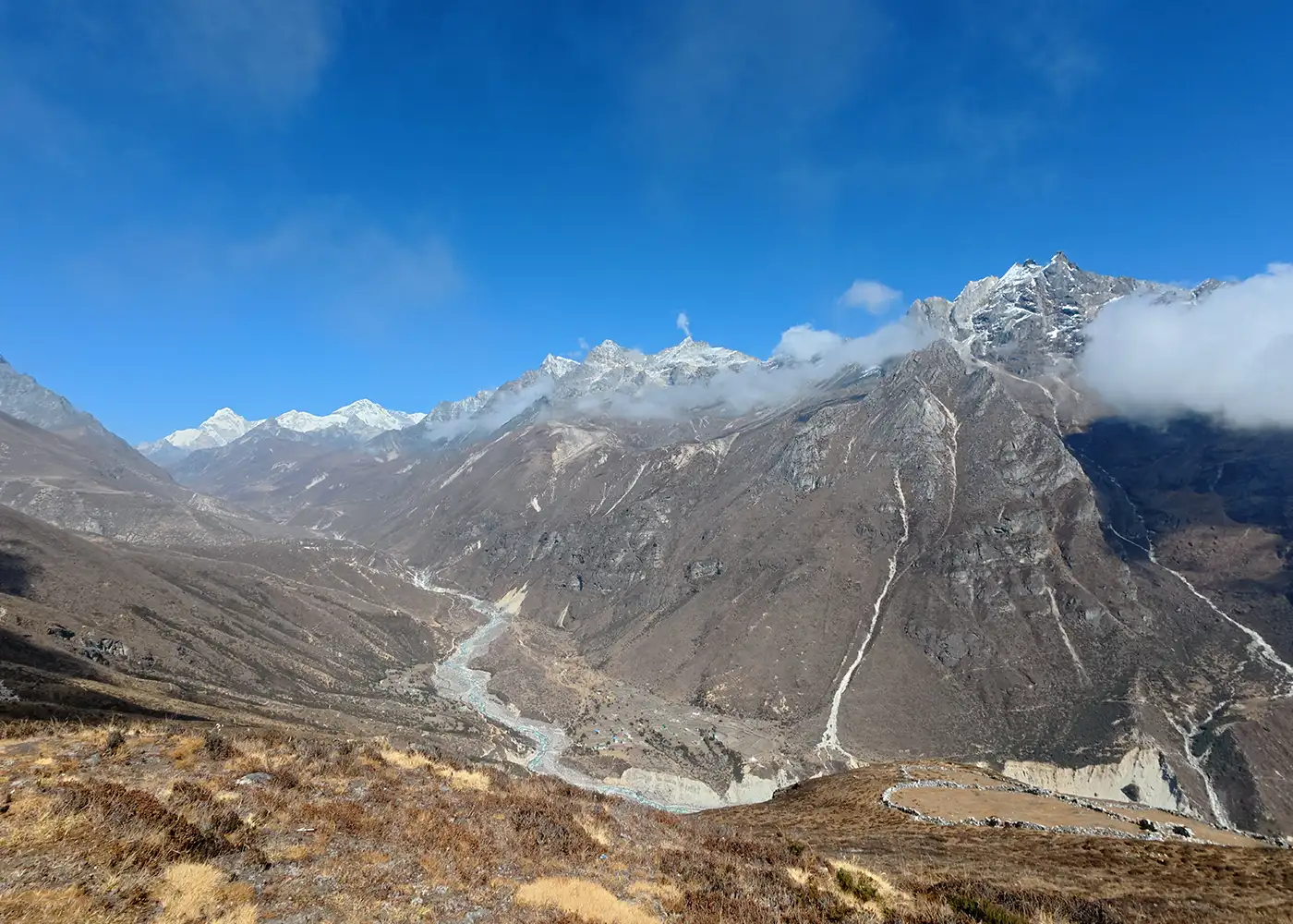
After Dole, the trail moves into more open terrain. The route passes Luza, yak grazing areas, and dry alpine slopes as the valley opens toward the Gokyo side. By the time you reach Machhermo, the air feels thinner, and the landscape looks wider and more rugged.

  • Trek duration: 5 to 6 hours

  • Trek distance: Approx. 7 to 9 km / 4.3 to 5.6 miles

  • Maximum altitude: Machhermo, 4,470m / 14,665ft

  • Elevation gain: +790m / +2,592ft

Note: The altitude increases quickly after Phortse Thanga, so take short breaks and drink water often.

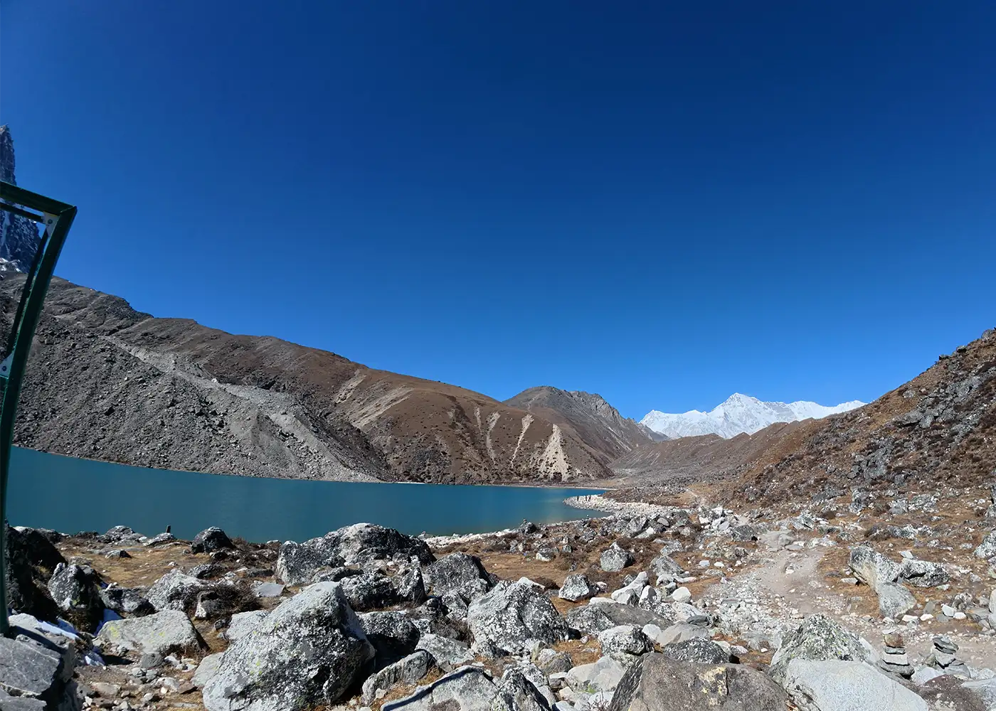
This scenic and shorter trekking day leads from Machhermo into the heart of the Gokyo Valley. You walk through open alpine ground, rocky paths, and wide slopes as the valley grows quieter. As the route moves higher, the raw beauty of the high Everest region starts to appear clearly.

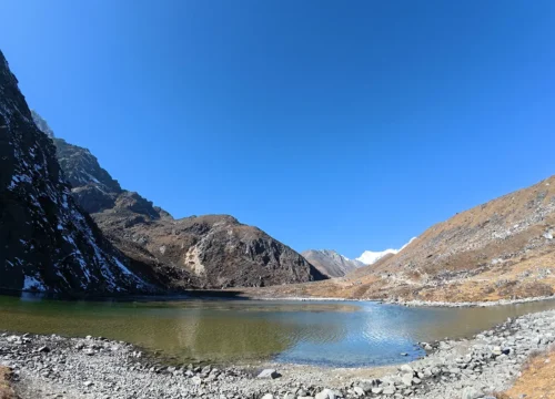
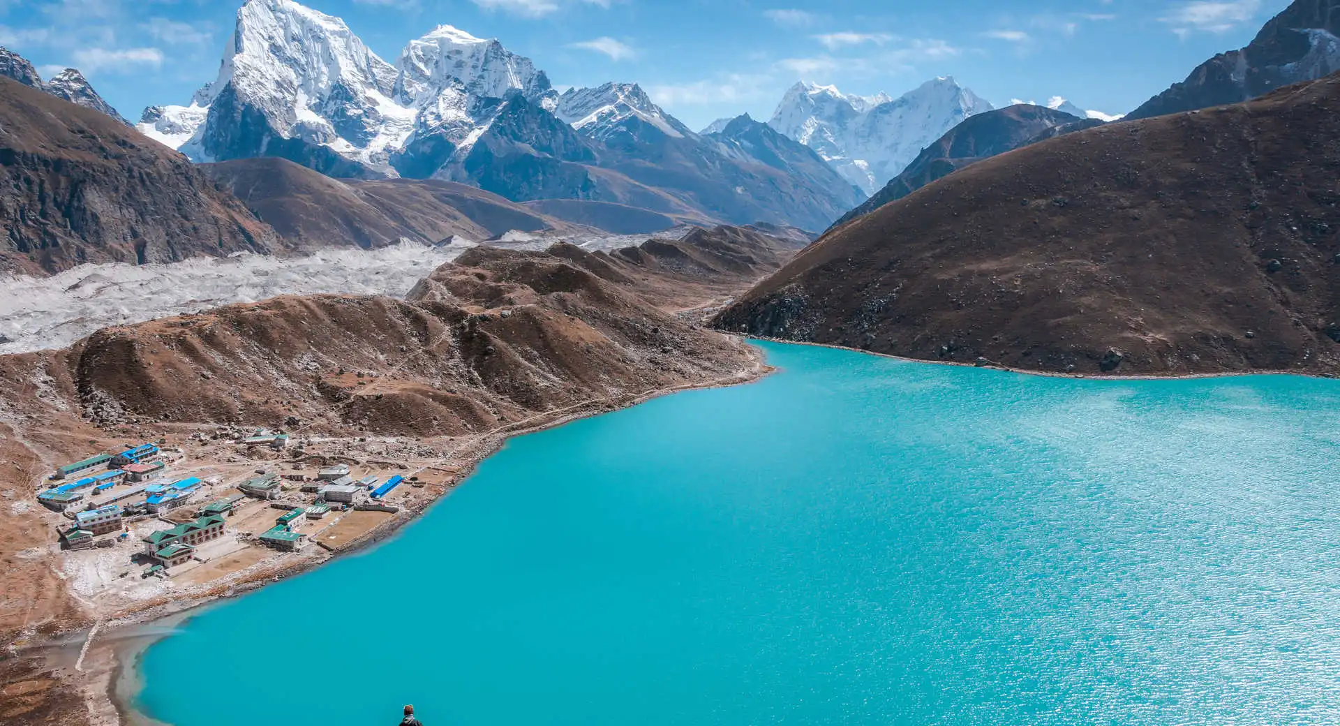
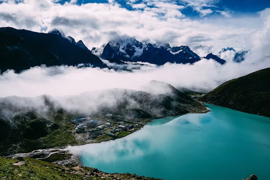
Before reaching Gokyo village, the trail passes the first and second Gokyo Lakes. Soon after, Dudh Pokhari, the third and main lake, appears beside Gokyo village. It is one of the most beautiful stops on the trek, with turquoise water, stone lodges, mountain walls, and a peaceful high-altitude setting.

  • Trek duration: 4 to 5 hours

  • Trek distance: Approx. 6.8 to 7 km / 4.2 to 4.3 miles

  • Maximum altitude: Gokyo, 4,790m / 15,715ft

  • Elevation gain: +320m / +1,050ft

Note: Keep your warm layer close because the wind feels colder around the lake area.

The hike to Gokyo Ri usually starts early, before the valley gets busy with daylight. The trail rises steeply above the village, so each step feels slow but rewarding. With every gain in height, Dudh Pokhari and the other Gokyo Lakes appear below, while high peaks begin to fill the skyline.

At the summit, you are rewarded with an unmatched Himalayan panorama. Everest, Lhotse, Makalu, and Cho Oyu rise dramatically above the turquoise lakes and glaciers below. After taking photos and enjoying the view, you descend carefully back to Gokyo.

  • Hike duration: 4 to 5 hours

  • Trek distance: Approx. 4 to 5 km / 2.5 to 3.1 miles

  • Maximum altitude: Gokyo Ri, 5,357m / 17,575ft

  • Elevation gain/loss: +567m / +1,860ft, then -567m / -1,860ft

Note: Carry a headlamp, warm gloves, a down jacket, water, snacks, sunglasses, and a windproof layer.

After two nights near the Gokyo Lakes, the route heads back down the valley toward Dole. You pass the lake area, rocky sections, and open slopes before reaching Machhermo. As the descent continues, the air feels warmer, and the walking pace becomes easier.

From Machhermo, the path moves through Luza and yak pasture areas before arriving at Dole. This small village gives a quieter and lower overnight stop after the high Gokyo section.

  • Trek duration: 5 to 7 hours

  • Trek distance: Approx. 11 to 12 km / 6.8 to 7.5 miles

  • Maximum altitude: Gokyo, 4,790m / 15,715ft

  • Elevation loss: -752m / -2,467ft

Note: Use trekking poles on the descent to reduce pressure on your knees.

The trail drops from Dole toward Phortse Thanga, then climbs again toward Mong La. This section brings a mix of forest paths, hillside trails, and open ridge views. After Mong La, the route moves toward Khumjung Village, one of the most beautiful Sherpa settlements in the Khumbu region.

Khumjung sits below the sacred Khumbila peak and is known for stone houses, potato fields, a monastery, and strong Sherpa culture. After exploring the village area, you descend through the Syangboche side and return to Namche Bazaar.

  • Trek duration: 5 to 6 hours

  • Trek distance: Approx. 12 to 14 km / 7.5 to 8.7 miles

  • Maximum altitude: Dole, 4,038m / 13,248ft

  • Elevation loss: -598m / -1,962ft, with mixed ascent and descent

Note: The route through Khumjung gives a better cultural experience than the direct return trail.

The final walking day begins with a long descent from Namche Bazaar. You follow the same trail back toward the Dudh Koshi River and cross high suspension bridges along the way. The route then passes Jorsalle, Monjo, Benkar, and Phakding, where familiar river views and village paths make the return feel easier.

After Phakding, the trail continues through Ghat, Thado Koshi, Cheplung, and Chaurikharka before the final climb to Lukla. This last uphill section feels tiring, but reaching Lukla gives a strong sense of completion.

  • Trek duration: 6 to 7 hours

  • Trek distance: Approx. 14 to 18 km / 8.7 to 11.2 miles

  • Maximum altitude: Namche Bazaar, 3,440m / 11,286ft

  • Elevation loss: -600m / -1,969ft, with mixed ascent and descent

Note: Pack your flight essentials separately because Lukla flights usually leave early in the morning.

An early flight from Lukla brings the trek back to Kathmandu, with final aerial views of the Khumbu valleys and Himalayan ridgelines. After landing, our team transfers you to the hotel. The rest of the day stays free for rest, a shower, and time around Kathmandu.

In the evening, our team hosts a farewell dinner to celebrate your successful Gokyo Lake Trek. It is a warm way to enjoy good food, share memories, and look back on the journey through the Everest region.

  • Flight duration: 30 to 35 minutes

  • Maximum altitude: Lukla, 2,840m / 9,317ft

  • Elevation loss: -1,440m / -4,724ft

Note: Lukla flights depend on the weather, so keeping one buffer day after the trek is a smart plan.

Your 13-day Gokyo Lake Trek ends in Kathmandu. Our team transfers you from the hotel to Tribhuvan International Airport based on your flight schedule. If your flight is later in the day, you get time for a short walk, last-minute shopping, or some rest before leaving for the airport.

Your trek may be over, but the experience stays with you in small details. The sound of the Dudh Koshi River, the calm lakes near Gokyo, the climb to Gokyo Ri, and the warm teahouse stops make the journey unforgettable.

  • Drive duration: 25 to 30 minutes

  • Drive distance: 5 to 7 km / 3.1 to 4.3 miles, depending on the hotel location

Note: Arrive at the airport at least 3 hours before your international flight.

Cost Includes

Cost Excludes

Trekking Feasibility
Calculating...
Projections represent historical trends and general seasonal elevation conditions.
Route Stop & Elevation
Daytime (Sunny)
Nighttime (Cold)

Note: These are general temperature ranges for the main trekking seasons, spring from March to May and autumn from September to November.

Spring and autumn are the best seasons for the Gokyo Lake Trek. Spring, from March to May, brings warmer days, blooming rhododendrons, and active trails in the Everest region. Similarly, in Autumn, from September to November, the skies are usually clearer after the monsoon, so mountain views look sharp and wide.

Winter trekking is possible, but it is much colder in the upper sections. Trails near Machhermo, Gokyo, and Gokyo Ri have snow or icy trails. Monsoon trekking is less recommended because rain, clouds, slippery paths, and flight delays can affect the journey.

During the Gokyo Lake Trek, you stay in local teahouses. The rooms are simple, with twin beds, blankets, and shared toilets in most places. Lukla and Namche Bazaar have better facilities. Places like Phortse Thanga, Machhermo, Dole, and Gokyo are more basic because they are higher and more remote.

Meals on the trail are warm, simple, and filling. Most teahouses serve dal bhat, noodles, fried rice, soup, potatoes, pasta, pancakes, porridge, eggs, tea, coffee, and hot lemon. You also find local mountain foods like Sherpa stew, thukpa, Tibetan bread, momos, buckwheat pancakes, and yak cheese along the route. These foods suit the cold weather and high-altitude trail.

Food choices become fewer as you move higher toward Machhermo and Gokyo. Therefore, carry a small supply of snacks, such as Energy bars, nuts, chocolate, and electrolyte powder for extra energy.

The Gokyo Lake Trek is moderate to challenging. The route does not need climbing skills, but it does need good fitness and steady walking. Most trekking days last 4 to 7 hours, so your body should be ready for long uphill and downhill trails.

As the trek moves higher, the altitude becomes the main challenge. You sleep above 4,000m in places like Machhermo, Gokyo, and Dole. Then, you hike to Gokyo Ri at 5,357m / 17,575ft, which is the highest point of the trek. Because of this, slow walking, proper rest, and enough water are important.

Still, the trek is manageable with the right pace and preparation. Fit beginners and regular hikers can complete it with guide support and proper acclimatization. The hardest parts are the climb to Namche Bazaar, the walk to Machhermo, the high overnight stay in Gokyo, and the early morning hike to Gokyo Ri.

The Nar Phu Valley Trek takes you through warm lower valleys, cold high-altitude villages, windy passes, and remote mountain trails. Pack light, but carry enough warm layers and trekking gear for changing weather and long walking days.

Ready to Trek to the Gokyo Lakes?

Take the quieter Everest route to the turquoise Gokyo Lakes and the panoramic summit of Gokyo Ri (5,483m). Share your preferred dates and group size, and get a clear plan with pricing, inclusions, and quick answers to your questions.

Frequently Asked Question

Can you see Mount Everest from Gokyo Ri?

Yes, you can see Mount Everest from Gokyo Ri along with other Himalayas, like Lhotse, Makalu, Cho Oyu, the Gokyo Lakes, and nearby high ridges on a clear day. Nepal Tourism Board also lists Gokyo Ri as the main viewpoint above Gokyo Valley.

The Gokyo Lake Trek is moderate to challenging. The trail does not need ropes or climbing gear, but the altitude, long walking days, steep sections, and cold weather make it demanding. Most trekkers find the altitude harder than the trail itself.

The Gokyo Lake Trek usually takes 11 to 14 days to complete. This depends on your pace, acclimatization plan, Lukla flight schedule, and whether you include extra rest days. This package follows a 13-day plan with arrival, trekking days, Gokyo Ri hike, return to Kathmandu, and final departure.

There are six main lakes in the Gokyo Wetland Series. They are Longponga Tsho, Taujung Tsho, Gokyo Tsho (Dudh Pokhari), Thonak Tsho, Ngozumpa Tsho, and Gyazumpa Tsho. Gokyo Tsho, also called Dudh Pokhari, is the third lake and the main lake beside Gokyo village.

The Gokyo Lake Trek cost depends on group size, Lukla flights, guide, porter, meals, accommodation, permits, hotel standard, and included services. For exact cost, contact Joyful Eco Treks.

Gokyo Ri is 5,357m / 17,575ft high. It is the highest point of this Gokyo Lake Trek itinerary and one of the best viewpoints in the Everest region.

Yes, fit beginners can complete the Gokyo Lake Trek with good preparation, slow pacing, and proper acclimatization. However, it is not an easy trek. You should train before the trip and be ready to walk for several hours on high-altitude trails.

Yes, a licensed guide is strongly needed and is treated as mandatory for foreign trekkers by many current Nepal trekking rule updates and agency permit processes. A guide helps with route safety, altitude awareness, local coordination, permit checks, and emergency support in the Everest region.

Yes, altitude sickness is a real risk on the Gokyo Lake Trek because the trek goes above 4,000m and reaches Gokyo Ri at 5,357m. A safe itinerary should include acclimatization, slow walking, enough water, and rest. Also, if symptoms like headache, nausea, dizziness, or unusual tiredness appear, you should inform the guide right away.

Ready to Trek the Gokyo Lakes Route?

Share your travel dates, group size, and trekking experience with Joyful Eco Treks. Our local team will help you plan the best 13-day Gokyo route with clear details on pacing, permits, Lukla flights, accommodation, meals, and guide support.