19-Day Everest Three Passes Trek: Itinerary & Map Joyful Eco Treks | Nepal’s Best Trek and Tours Packages

Everest Three Passes Trek | 17 Days

Mount Everest, Solukhumbu District, Nepal

19 Days

Trek-region

Everest

Group Size

1-12 (Private & Small Group)

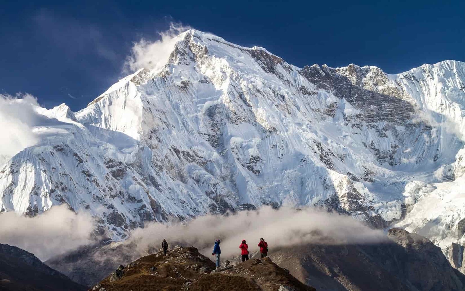
The Everest Three Passes Trek is a 19-day journey through the wildest parts of the Everest region. It crosses Kongma La Pass, Cho La Pass, and Renjo La Pass, while also connecting Everest Base Camp, Kala Patthar, Gokyo Lakes, and Gokyo Ri in one itinerary.

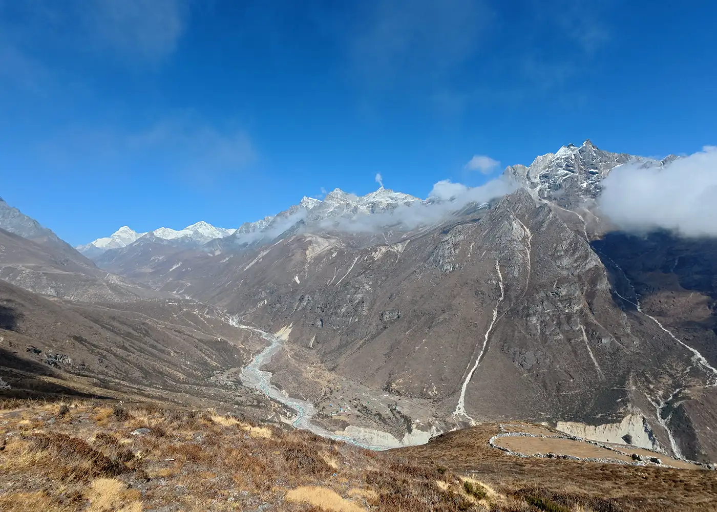
The journey moves through the main Khumbu Valley, the remote Imja Valley, the Gokyo side, and the quieter Thame route. Along the way, you pass Sherpa villages, monasteries, suspension bridges, glacier paths, alpine lakes, and high ridges. Each section adds a new challenge, which makes the trek both demanding and memorable.

Trip Info 

  • Lukla
  • Lukla
  • Approx. 150 to 170 km / 93 to 106 miles, depending on side hikes and route conditions
  • Trekking/Hiking + Scenic Flight
  • Challenging
  • Mar to May, Sep to Nov
  • Kala Patthar, 5,545m / 18,192ft
  • 3 to 9 hours
  • Sagarmatha National Park Permit, Khumbu Pasang Lhamu Rural Municipality Permit
  • Hotels in Kathmandu; Teahouses/Guesthouses during the trek
  • Breakfast, Lunch & Dinner during the trek
  • Licensed guide and porter available, depending on the selected package (1 porter for 2 trekkers)

Why Trek the Everest Three Passes Route

The Everest Three Passes Trek is one of the most complete trekking routes in the Khumbu region. It combines three major high passes with Everest Base Camp, Kala Patthar, Gokyo Lakes, and Gokyo Ri in one itinerary. This route gives trekkers a wider experience of the Everest region than the classic base camp trail, with more varied landscapes, viewpoints, and remote valley sections.

The trek is also worth choosing for its strong mix of scenery, culture, and challenge. The trail passes through Sherpa villages, Buddhist monasteries, forest paths, glacier sections, alpine lakes, and high ridges. As the route moves from the Khumbu Valley to the Imja Valley, Gokyo Valley, and the Thame side, each section adds a new layer to the journey.

Trek Highlights 

  • Cross Renjo La Pass, Cho La Pass, and Kongma La Pass in one route.
  • Visit Gokyo Lakes, one of the most beautiful lake areas in the Everest region.
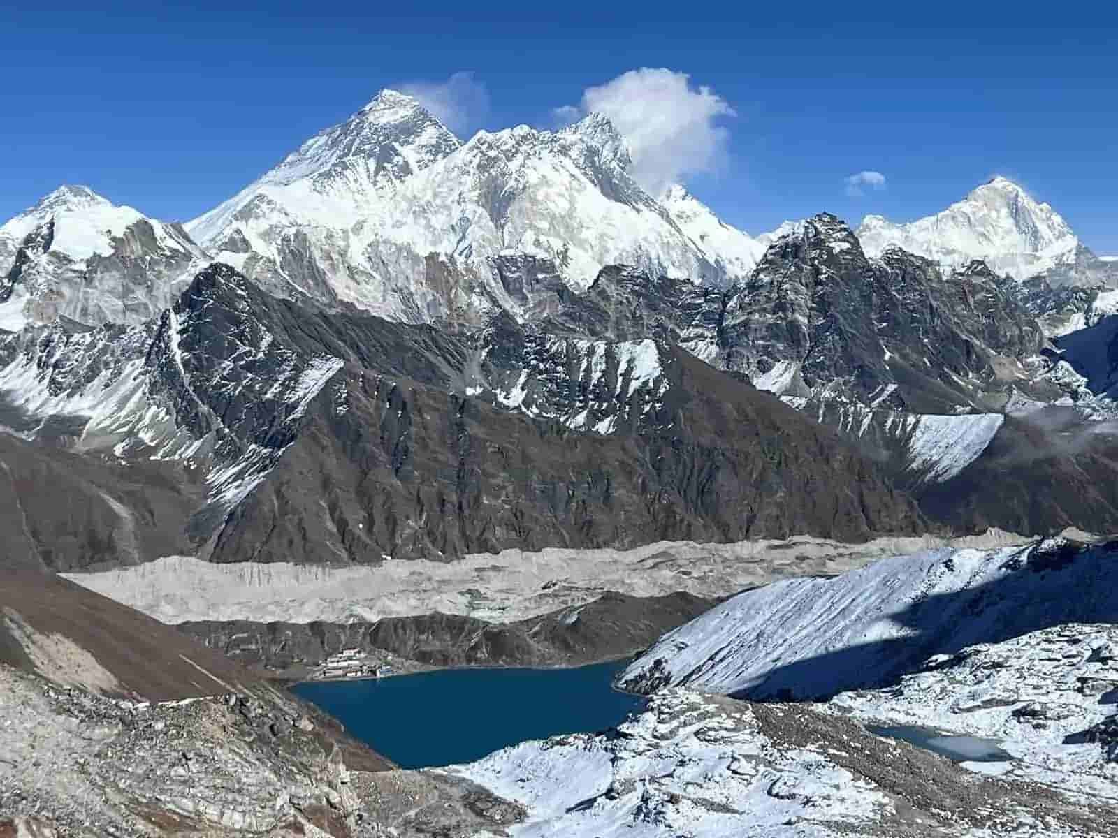
  • Hike to Gokyo Ri for views of Everest, Lhotse, Makalu, Cho Oyu, and Gokyo Valley.
  • Walk beside the Ngozumpa Glacier area between Gokyo and Thangnak.
  • Cross Cho La Pass, a rugged route between Gokyo Valley and the Everest Base Camp side.
  • Reach Everest Base Camp at 5,364m / 17,598ft.
  • Hike to Kala Patthar for close sunrise views of Everest, Nuptse, Pumori, and nearby peaks.
  • Cross Kongma La Pass, the highest of the three passes on this route.
  • Explore Namche Bazaar, Thame, Lungden, Gokyo, Dzongla, Lobuche, Chhukung, and Tengboche.
  • Visit Tengboche Monastery, one of the most important monasteries in the Khumbu region.
  • Walk through Sagarmatha National Park, known for glaciers, deep valleys, Sherpa culture, and rare wildlife.
  • Experience a complete Everest circuit with remote passes, famous landmarks, and quieter trails.

Tour Plan

You arrive at Tribhuvan International Airport in Kathmandu, where our team greets you and takes you to your hotel. After check-in, you have time to rest, freshen up, or enjoy a short walk around Thamel.

Later, your trekking guide meets you for the trip briefing. The session explains the Lukla flight plan, required permits, packing checklist, altitude safety, three high passes, and the day-by-day walking schedule.

  • Drive duration: 25 to 30 minutes

  • Drive distance: 5 to 7 km / 3.1 to 4.3 miles, depending on hotel location

Note: Keep your passport, insurance copy, and flight documents ready for the briefing.
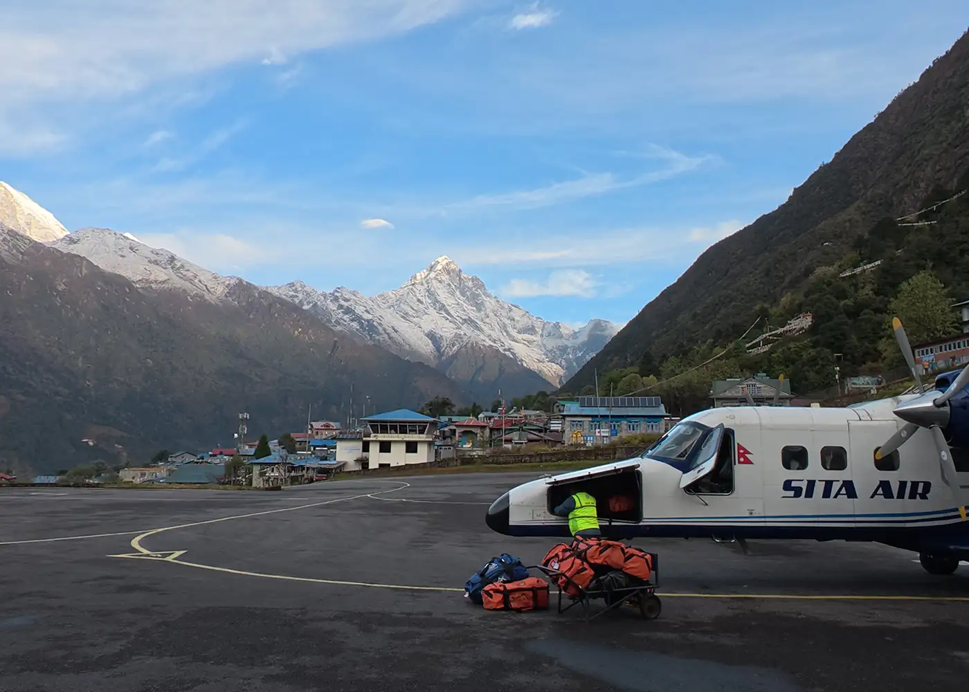
After breakfast, you take an early flight to Lukla, the starting point of many Everest region treks. On a clear morning, the flight gives beautiful views of hills, valleys, and distant Himalayan peaks. After landing at Tenzing-Hillary Airport, you meet the trekking crew and begin walking through Lukla’s stone lanes toward the lower trail.

The path then descends toward Chaurikharka and Cheplung before following the Dudh Koshi Valley. Along the way, prayer flags, mani stones, chortens, and Sherpa settlements give the first real feel of the Khumbu before you reach Phakding.

  • Flight duration: 30 to 35 minutes from Kathmandu

  • Trek duration: 4 to 5 hours

  • Trek distance: Approximately 7 to 8 km / 4.3 to 5 miles

  • Maximum altitude: Lukla, 2,860m / 9,383ft

  • Elevation loss: -250m / -820ft

Note: Lukla flights depend on the weather, so the daily schedule should stay flexible.

From Phakding, the trail follows the Dudh Koshi River through small villages, forest paths, and quiet riverside sections. The route passes Toktok, Benkar, Chumoa, Monjo, and Jorsalle while crossing suspension bridges and walking beside prayer wheels and stone walls. At Monjo, you enter Sagarmatha National Park, which gives the day a stronger mountain feel.

After Jorsalle, the day becomes more demanding. You cross the high suspension bridge near Larja Dobhan, then climb steadily through pine forest toward Namche Bazaar. As you arrive, the trail opens into a lively Sherpa town filled with shops, bakeries, teahouses, and wide valley views.

  • Trek duration: 5 to 6 hours

  • Trek distance: Approximately 10 to 12 km / 6.2 to 7.5 miles

  • Maximum altitude: Namche Bazaar, 3,440m / 11,286ft

  • Elevation gain: +830m / +2,724ft

Note: Walk slowly after Jorsalle because this section has a steep climb and strong altitude gain.

Namche Bazaar is your first acclimatization stop. However, instead of resting all day, you take a short hike above the town toward the Everest View Hotel area. This helps your body adjust while giving you clear views of Everest, Lhotse, Ama Dablam, Thamserku, Kongde Ri, and the valleys below.

After enjoying the view, you can return to Namche or continue toward Khumjung and Khunde. These nearby Sherpa villages add more culture to the day, with stone houses, quiet lanes, and mountain views. Later, you head back to Namche for a relaxed afternoon with time to visit the market, cafés, gear shops, or local museum areas.

  • Hike duration: 4 to 5 hours

  • Hike distance: Approximately 6 to 9 km / 3.7 to 5.6 miles, depending on side visit

  • Maximum altitude: Everest View Hotel area, approx. 3,880m / 12,730ft

  • Elevation gain/loss: Approx. +440m / +1,444ft, then -440m / -1,444ft

Note: This day follows the “hike high, sleep low” method, which helps your body adjust to altitude.

Leaving Namche Bazaar, the trail turns away from the busy Everest Base Camp route and follows the Bhote Koshi Valley toward Thame. The walk feels calmer with fewer trekkers, softer village scenes, and open views across the Bhote Koshi Valley. Along the way, you pass stone houses, prayer flags, mani walls, and old trading paths once used between Nepal and Tibet.

As the valley widens, Thame gradually comes into view. This old Sherpa village is known for its quiet setting, traditional homes, and monastery above the settlement. It gives a peaceful overnight stop before you move higher toward Lungden.

  • Trek duration: 4 to 6 hours

  • Trek distance: Approximately 8 to 10 km / 5 to 6.2 miles

  • Maximum altitude: Thame, 3,800m / 12,467ft

  • Elevation gain: +360m / +1,181ft, with small ups and downs

Note: The trail is quieter than the main Everest route, but the altitude still rises, so keep a steady pace.

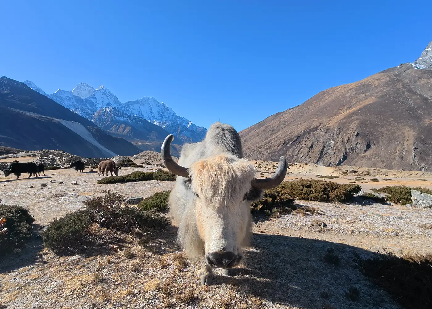
From Thame, the trail leads deeper into the Bhote Koshi Valley. The village scenery slowly changes into dry slopes, stone walls, yak pastures, and open mountain country. You pass smaller settlements around the Marlung side, where the old trade route of this valley still remains strong.

By the time Lungden appears, the setting feels more remote, and the altitude becomes more noticeable. This village is the main stop before Renjo La Pass, your first high pass crossing, so the afternoon is kept simple and restful.

  • Trek duration: 5 to 6 hours

  • Trek distance: Approximately 8 to 10 km / 5 to 6.2 miles

  • Maximum altitude: Lungden, 4,380m / 14,370ft

  • Elevation gain: +580m / +1,903ft

Note: This is your first night sleeping above 4,000m, so walk slowly, drink enough water, and rest well.

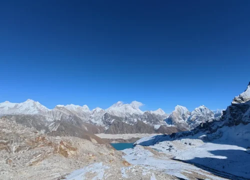
This is your first high pass day, so you leave Lungden early while the weather is still clear. The path climbs toward Renjo La Pass through open slopes, rocky sections, and wide mountain terrain. At the top, prayer flags mark the pass, and you get sweeping views of Everest, Lhotse, Makalu, Cho Oyu, and the distant Khumbu ridges.

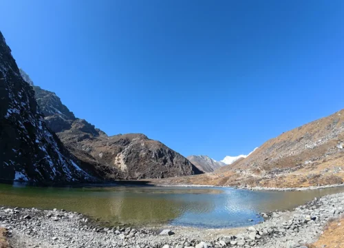
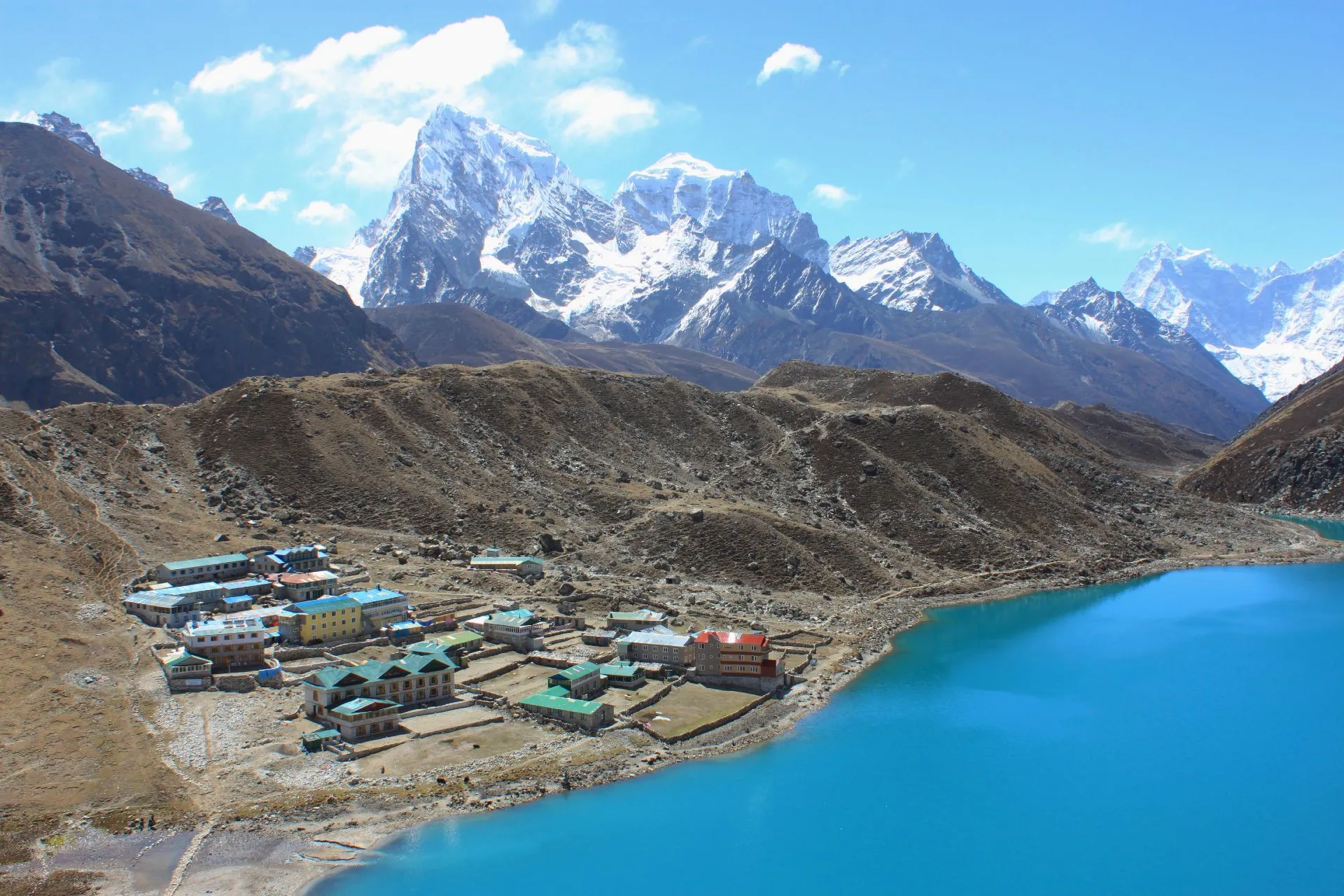
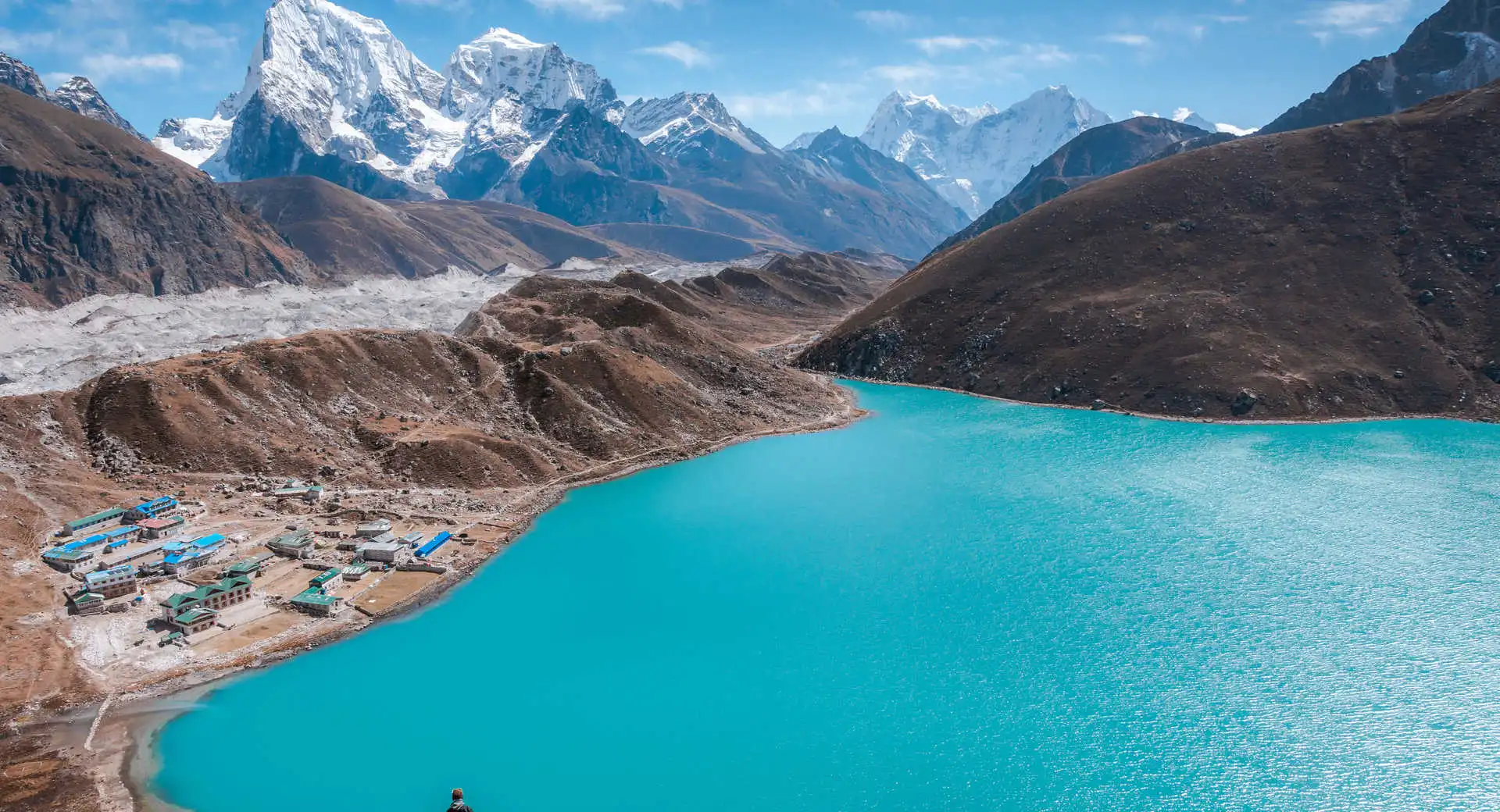
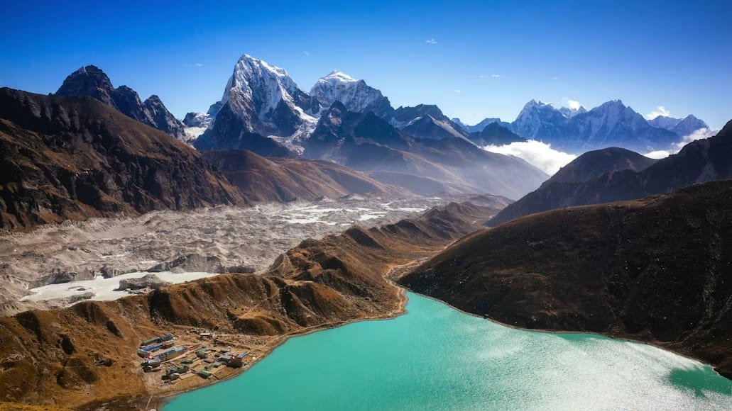
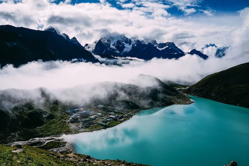
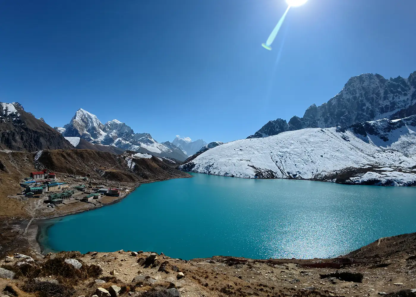
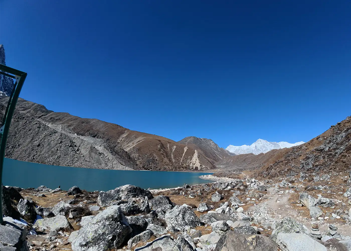
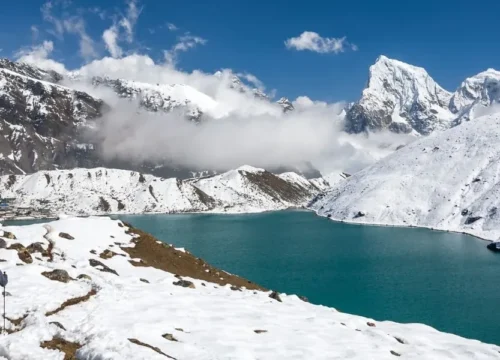
After Renjo La, the descent brings a dramatic change in scenery. The blue lakes of Gokyo appear below, with Dudh Pokhari shining beside Gokyo village. This is one of the most beautiful sections of the trek because it connects a remote pass crossing with the calm lake valley in a single day. By late afternoon, you reach Gokyo and rest near the main lake.

  • Trek duration: 7 to 8 hours

  • Trek distance: Approximately 11 to 12 km / 6.8 to 7.5 miles

  • Maximum altitude: Renjo La Pass, 5,360m / 17,585ft

  • Elevation gain/loss: Approx. +980m / +3,215ft, then -570m / -1,870ft

Note: There are no teahouses in the pass section, so carry enough water and snacks along with warm layers, sunglasses, gloves, and a windproof jacket.

After the long crossing over Renjo La, Gokyo is the second acclimatization day of your trek. Still, the day remains active with the morning hike toward Gokyo Ri. Here, the path is steep, but the view keeps improving as Dudh Pokhari and the lake valley appear below.

From the summit, you get to see Everest, Lhotse, Makalu, Cho Oyu, and the snowy ridges around the Gokyo Valley. After enjoying the view, you descend to Gokyo and keep the rest of the day easy.

  • Hike duration: 4 to 5 hours

  • Hike distance: Approximately 4 to 5 km / 2.5 to 3.1 miles

  • Maximum altitude: Gokyo Ri, 5,357m / 17,575ft

  • Elevation gain/loss: +567m / +1,860ft, then -567m / -1,860ft

Note: Start early for clearer views and lower wind near the viewpoint.

The journey continues toward the Cho La side of the trek. You leave the lake village and cross the Ngozumpa Glacier area, where the ground is rough, uneven, and covered with loose moraine. This wide glacier system separates Gokyo from the valley leading to Cho La Pass.

By the end of the crossing, you reach Thangnak, also known as Dragnag. This small settlement sits just below the Cho La crossing and works as the main stop before the next high pass. The village is small and simple, with basic lodges and a quiet mountain setting.

  • Trek duration: 2 to 3 hours

  • Trek distance: Approximately 3 to 4 km / 1.9 to 2.5 miles

  • Maximum altitude: Gokyo, 4,790m / 15,715ft

  • Elevation gain/loss: -90m / -295ft, with mixed moraine walking

Note: The glacier moraine changes with season and conditions, so stay close to the guide.

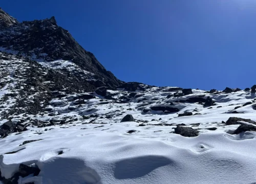
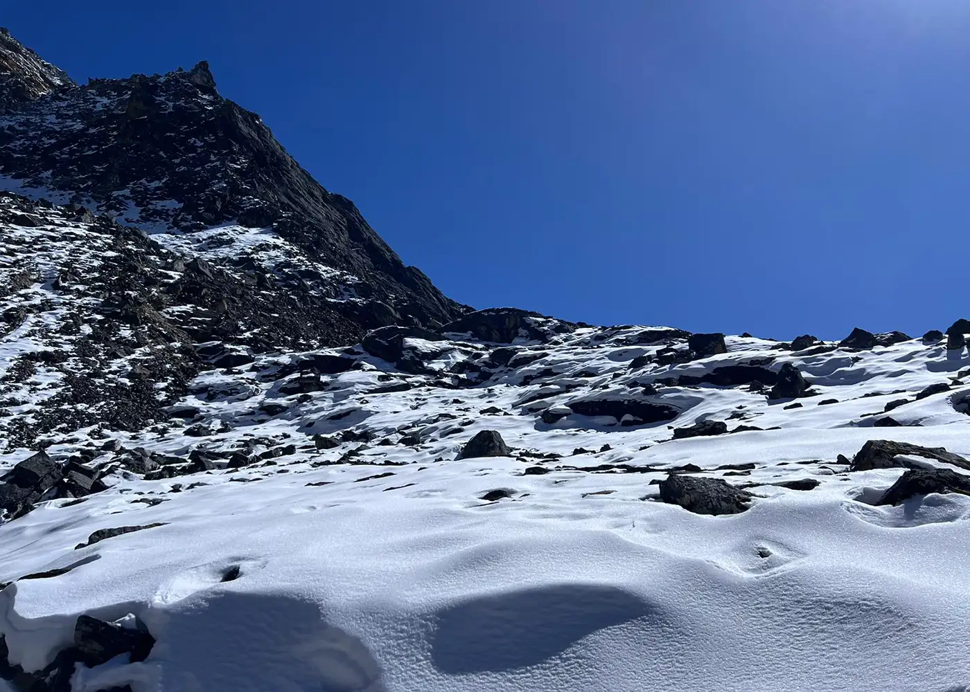
Your morning starts early from Thangnak, with a steady climb over rough stones, boulder fields, and high alpine ground. Near the pass, the terrain often includes snow or ice, so each step needs focus and balance. At the top, the prayer flags mark the crossing between the Gokyo side and the Everest Base Camp side of the Khumbu.

After the pass, the descent heads toward Dzongla through rocky slopes and open mountain terrain. This side gives you strong views of Cholatse, Ama Dablam, Lobuche Peak, and sharp ridgelines around the valley.

  • Trek duration: 7 to 8 hours

  • Trek distance: Approximately 8 to 10 km / 5 to 6.2 miles

  • Maximum altitude: Cho La Pass, 5,420m / 17,782ft

  • Elevation gain/loss: Approx. +720m / +2,362ft, then -590m / -1,936ft

Note: Microspikes are useful when Cho La has ice or hard snow. Follow the guide’s decision if the weather changes.

The day after Cho La is shorter and gentler. From Dzongla, the trail crosses open highland slopes with views of Cholatse, Taboche, Lobuche Peak, and the upper Khumbu area. Since the distance is moderate, you move at an easier pace and recover from the previous day's pass.

As the route joins the main Everest Base Camp trail near Lobuche, the area becomes livelier again. Trekkers, yak trains, stone lodges, and glacier-side scenery bring back the busy feel of the classic base camp route. After reaching Lobuche, you rest, eat well, and prepare for the next day’s visit to Everest Base Camp.

  • Trek duration: 3 to 4 hours

  • Trek distance: Approximately 6 to 7 km / 3.7 to 4.3 miles

  • Maximum altitude: Lobuche, 4,910m / 16,109ft

  • Elevation gain: +80m / +263ft, with gradual ups and downs

Note: The walking day is short, but the sleeping altitude remains high, so avoid extra strain after arrival.

The route leaves Lobuche and moves toward Gorak Shep through rocky moraine and glacier-side terrain. The landscape feels raw and open, with views of Pumori, Nuptse, and the Khumbu Glacier area. After reaching Gorak Shep, you take a short rest before heading toward Everest Base Camp.

The walk to base camp crosses rough moraine beside the Khumbu Glacier. At Everest Base Camp, you stand near the Khumbu Icefall and the seasonal expedition area. After spending time there, you follow the same rugged path back to Gorak Shep for the night.

  • Trek duration: 7 to 8 hours

  • Trek distance: Approximately 11 to 13 km / 6.8 to 8.1 miles

  • Maximum altitude: Everest Base Camp, 5,364m / 17,598ft

  • Elevation gain: +254m / +833ft

Note: Gorak Shep is one of the highest overnight stops, so stay warm and eat well.

Before sunrise, the climb to Kala Patthar begins from Gorak Shep. As the sky brightens, Everest, Nuptse, Pumori, Lingtren, and the Khumbu Glacier area come into clear view. This viewpoint gives one of the best close-up views of Everest on the whole trek.

After returning to Gorak Shep, you have breakfast and continue down toward Lobuche. The lower sleeping altitude feels more comfortable after a night above 5,000m. This stage also gives your body time to recover before the final high pass crossing toward Chhukung.

  • Hike & Trek duration: 5 to 6 hours

  • Trek distance: Approximately 8 to 9 km / 5 to 5.6 miles

  • Maximum altitude: Kala Patthar, 5,545m / 18,192ft

  • Elevation gain/loss: +381m / +1,250ft, then approx. -635m / -2,083ft

Note: Carry a headlamp, warm gloves, a down jacket, and a windproof layer for the early morning climb.

The final pass day crosses Kongma La, the highest of the three passes. From Lobuche, the route moves across glacier moraine and rocky ground before climbing toward the pass. The landscape feels wild and remote, with no teahouses between Lobuche and Chhukung.

At Kongma La, the views open toward Makalu, Lhotse, Nuptse, Ama Dablam, and the surrounding high ridges. The descent into the Imja Valley is long and rough, so careful steps matter after the pass. Chhukung appears at the end of the valley, giving a welcome rest after the hardest crossing of the trek.

  • Trek duration: 8 to 10 hours

  • Trek distance: Approximately 10 to 11 km / 6.2 to 6.8 miles

  • Maximum altitude: Kongma La Pass, 5,535m / 18,159ft/p>

  • Elevation gain/loss: Approx. +625m / +2,051ft, then -805m / -2,641ft

Note: Carry a packed lunch, enough water, warm layers, sunglasses, gloves, and a windproof jacket.

With the three high passes now behind you, the day feels more open and less tense. The route drops from Chhukung through the Imja Valley and returns toward Dingboche. From there, the path continues past Orsho, Somare, and Pangboche, where old Sherpa houses, stone walls, and mountain views bring back the cultural side of the Khumbu.

After Pangboche, the journey crosses the Imja Khola and moves through greener sections near Deboche before reaching Tengboche. This village is best known for Tengboche Monastery, one of the most important Buddhist centers in the Everest region.

  • Trek duration: 6 to 7 hours

  • Trek distance: Approximately 14 to 16 km / 8.7 to 9.9 miles

  • Maximum altitude: Chhukung, 4,730m / 15,518ft

  • Elevation loss: -870m / -2,854ft, with small climbs and descents

Note: This is a long downhill day, so use trekking poles if your knees feel tired.

From Tengboche, the trail descends through pine and rhododendron forest toward Phunki Tenga. Prayer wheels, river sounds, and forest shade make this section peaceful. After crossing the river, the path climbs again toward Sanasa and Kyangjuma.

The final section brings you back to Namche Bazaar along a familiar hillside path. The town feels lively after the remote high valleys, with better facilities, cafés, bakeries, and shops. This evening gives time to rest and enjoy the comfort of the main Khumbu town.

  • Trek duration: 5 to 6 hours

  • Trek distance: Approximately 9 to 11 km / 5.6 to 6.8 miles

  • Maximum altitude: Tengboche, 3,860m / 12,664ft

  • Elevation loss: -420m / -1,378ft, with mixed ascent and descent

Note: The day includes one noticeable climb after Phunki Tenga, even though the route ends lower.

The final trekking day takes you back through the lower Dudh Koshi Valley. From Namche, the descent reaches the river area and crosses familiar suspension bridges before passing Jorsalle, Monjo, Benkar, and Phakding. After many days above the high valleys, the warmer air, greener hills, and village paths make the return feel easier.

Beyond Phakding, the route continues through Ghat, Thado Koshi, Cheplung, and Chaurikharka before the last climb into Lukla. This final uphill section feels tiring, but reaching Lukla brings a clear sense of completion.

  • Trek duration: 6 to 7 hours

  • Trek distance: Approximately 17 to 19 km / 10.6 to 11.8 miles

  • Maximum altitude: Namche Bazaar, 3,440m / 11,286ft

  • Elevation loss: -580m / -1,903ft, with mixed ascent and descent

Note: Pack your flight essentials separately because Lukla flights usually leave early.

An early flight takes you from Lukla back to Kathmandu. As the aircraft leaves the mountain runway, the Everest region slowly fades into hills, valleys, and distant snowy ridges. After landing, our team transfers you to the hotel.

The afternoon is free for rest, a warm shower, laundry, or a short walk around the city. In the evening, you enjoy a farewell dinner and celebrate the completion of the Everest Three Passes Trek. After crossing Renjo La, Cho La, and Kongma La, this final night in Kathmandu feels well-earned.

  • Flight duration: 30 to 35 minutes

  • Maximum altitude: Lukla, 2,860m / 9,383ft

  • Elevation loss: -1,460m / -4,790ft

Note: Lukla flights depend on weather, so keeping a buffer day after the trek is strongly recommended.

Your Everest Three Passes Trek ends in Kathmandu. Our team transfers you from the hotel to Tribhuvan International Airport according to your international flight schedule. If the flight is later in the day, you get time for breakfast, shopping, or a short walk.

As you leave Nepal, the journey closes with memories of Sherpa villages, high passes, Everest Base Camp, Kala Patthar, Gokyo Lakes, and the remote valleys of the Khumbu.

  • Drive duration: 30 to 40 minutes from the airport to the hotel

  • Drive distance: 5 to 7 km / 3.1 to 4.3 miles, depending on hotel location

Note: Reach the airport at least 3 hours before your international flight.

Cost Includes

Cost Excludes

Trekking Feasibility
Calculating...
Projections represent historical trends and general seasonal elevation conditions.
Route Stop & Elevation
Daytime (Sunny)
Nighttime (Cold)

Note: These temperatures are for peak trekking seasons, spring from March to May and autumn from September to November.)

Spring and autumn are the best seasons for the Everest Three Passes Trek. Spring offers milder weather and colorful lower trails, while autumn offers the clearest mountain views after the rainy season. Both seasons support safer walking across Renjo La, Cho La, and Kongma La. They also make famous viewpoints like Gokyo Ri and Kala Patthar more rewarding.

On the other hand, winter and monsoon are less recommended. Winter makes the upper route bitterly cold, and snow often affects the passes. Monsoon brings wet trails, cloudy skies, leeches in lower areas, and more flight delays around Lukla.

Accommodation on the Everest Three Passes Trek is simple but practical. You stay in family-run teahouses that provide basic rooms, shared toilets, and warm dining areas. Namche Bazaar has more facilities, but the lodges become smaller and more modest as the trail reaches Lungden, Gokyo, Thangnak, Dzongla, and Chhukung.

The food follows the needs of the trail. Most teahouses serve dal bhat, noodles, fried rice, potato dishes, soups, pasta, eggs, porridge, pancakes, tea, coffee, and hot lemon. Along the way, you also find mountain favorites like thukpa, Sherpa stew, Tibetan bread, momos, and yak cheese.

As you gain altitude, the menu becomes shorter because supplies are harder to carry into remote villages. Therefore, carry a small supply of snacks, such as energy bars, nuts, chocolate, and electrolyte powder for extra energy.

The Everest Three Passes Trek is challenging and strenuous. Most days involve 4 to 8 hours of walking at high altitude, so the route demands strong fitness, good balance, and steady pacing. Since the trail crosses remote valleys and high passes, you need to stay prepared both physically and mentally.

As the trek moves higher, the difficulty increases. Renjo La, Cho La, and Kongma La all rise above 5,000m, where the air feels thinner, and each climb takes more effort. In some sections, you also walk over rocky trails, loose moraine, steep slopes, and icy paths, especially near Cho La and Kongma La.

Still, the trek rewards good preparation. If you train well, walk slowly, and follow a safe acclimatization plan, the route feels more manageable. This route is best for experienced hikers or fit trekkers who already feel comfortable walking long hours in high mountain terrain.

Everest Three Passes Trek crosses high passes, glacier-side trails, and cold sleeping areas, so packing well matters. Keep your bag light, but do not skip warm layers.

Plan Your Everest Three Passes Trek with Us!

Ready to cross Renjo La, Cho La, and Kongma La in one powerful Everest journey? Get in touch with Joyful Eco Treks to plan your route, guide support, Lukla flights, permits, pacing, accommodation, meals, and safety details.

Frequently Asked Question

How difficult is the Everest Three Passes Trek?

The Everest Three Passes Trek is a challenging high-altitude trek. It crosses Renjo La, Cho La, and Kongma La, all above 5,300m. The trek also includes long walking days, rough terrain, glacier-side sections, and several nights above 4,000m.

The Everest Three Passes Trek usually takes 17 to 21 days, depending on the itinerary, acclimatization plan, and route direction. A 19-day plan gives enough time for arrival, Lukla flights, acclimatization, three pass crossings, Everest Base Camp, Kala Patthar, Gokyo Lakes, and final departure.

The three passes are Renjo La Pass, Cho La Pass, and Kongma La Pass. Renjo La is 5,360m / 17,585ft, Cho La is 5,420m / 17,782ft, and Kongma La is 5,535m / 18,159ft. Kongma La is the highest pass on the route.

Kongma La is often considered the hardest pass because it is the highest and has a long, remote crossing between Lobuche and Chhukung. Cho La is also difficult because it often has rocky, snowy, or icy sections. The hardest pass also depends on weather, snow, fitness, and trekking direction.

The highest point of the Everest Three Passes Trek is Kala Patthar at around 5,545m / 18,192ft. It is higher than the three passes and gives one of the best close-up views of Mount Everest, Nuptse, Pumori, and the Khumbu Glacier area.

Yes, the Everest Three Passes Trek includes Everest Base Camp in most full itineraries. The route reaches Everest Base Camp at 5,364m / 17,598ft and also includes Kala Patthar for a better summit view of Everest.

The Everest Three Passes Trek usually covers around 150 to 170 km / 93 to 106 miles, depending on the exact route, side hikes, and overnight stops. Some route sources list the full circuit close to 160 km / 100 miles.

Yes, the Everest Three Passes Trek is harder than the standard Everest Base Camp Trek. The Everest Base Camp route mainly follows one valley, while the Three Passes route crosses three high passes and includes more remote, rocky, and demanding sections.

Spring and autumn are the best seasons for the Everest Three Passes Trek. Spring runs from March to May, while autumn runs from September to November. These months usually give better weather, clearer mountain views, and safer conditions on the high passes.

You need the Sagarmatha National Park Entry Permit and the Khumbu Pasang Lhamu Rural Municipality Permit. The Everest region uses the local municipality permit instead of the TIMS card for most Khumbu trekking routes.

The Everest Three Passes Trek cost depends on the itinerary length, group size, guide, porter, Lukla flights, meals, permits, accommodation, and service level. For the actual cost contact the Joyful Eco Trek.

Yes, a licensed guide is strongly recommended for the Everest Three Passes Trek. The route includes remote passes, glacier-side terrain, changing weather, and high altitude. A guide helps with navigation, safety decisions, lodge coordination, permits, and emergency support.

Ready to Cross the Three High Passes of Everest?

Share your travel dates, fitness level, group size, and trekking experience with us. Our local team will help you plan the 17-day route with safe pacing, guide support, permit details, Lukla flight planning, and clear cost information.