14-Day Manaslu Circuit Trek | Route, Map & Permits Joyful Eco Treks | Nepal’s Best Trek and Tours Packages

14 Days Manaslu Circuit Trek: Remote Trek in Nepal

Manaslu Region, Gorkha District, Gandaki Province, Nepal

14 Days

Trek Region

Manaslu Conservation Area / Gorkha District

Group Size

1-12 trekkers (Private & Small Group)

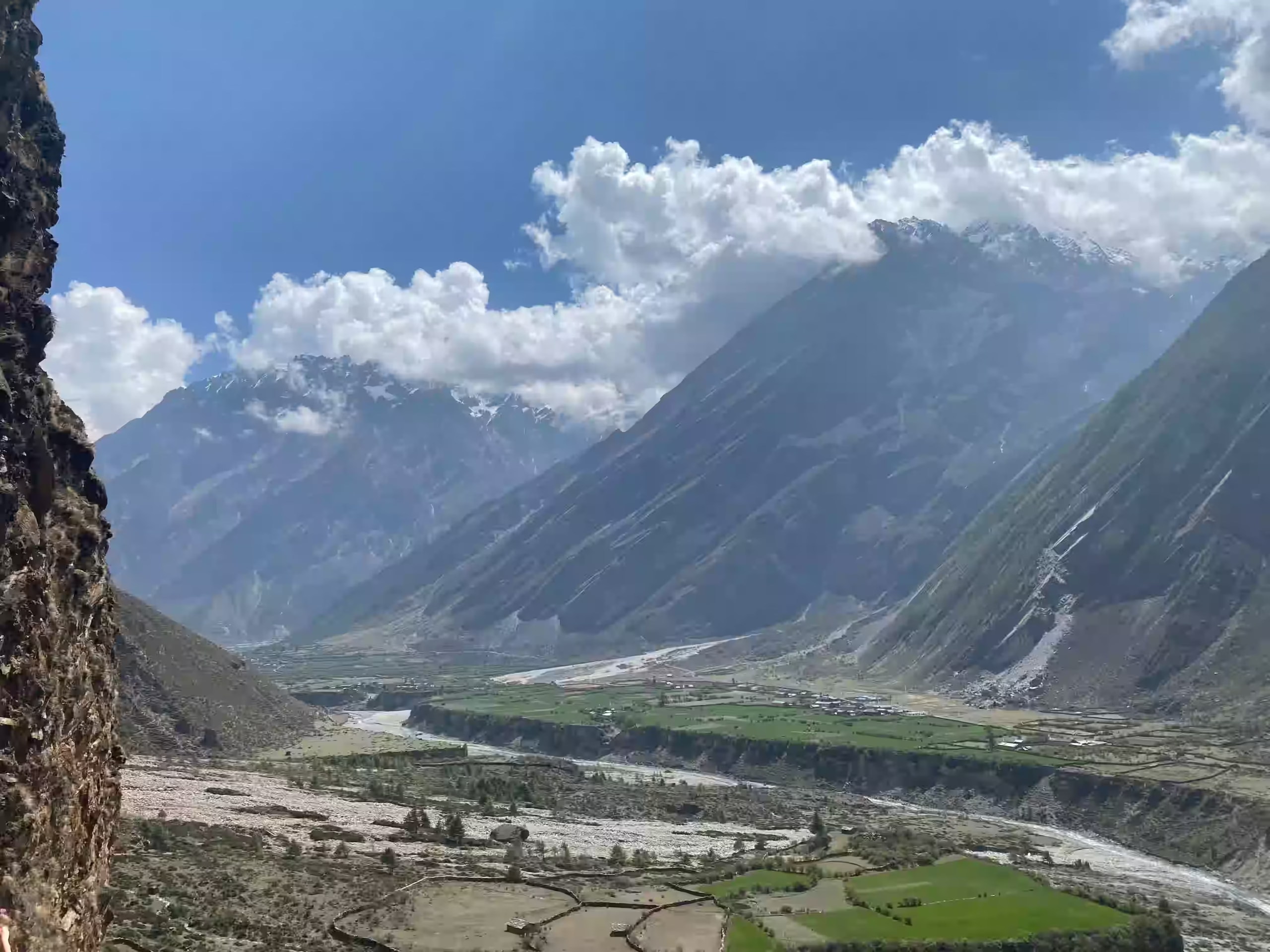
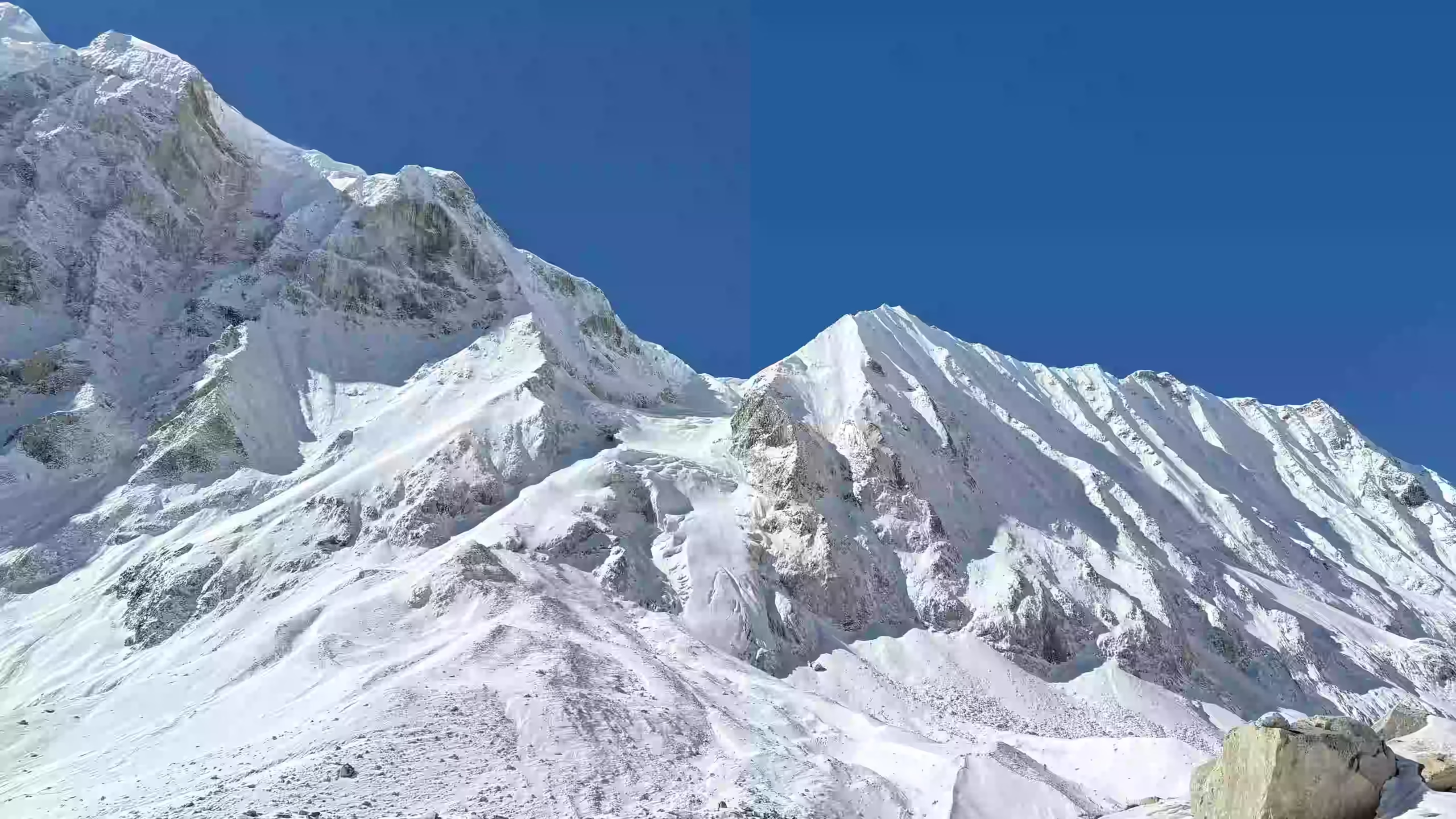
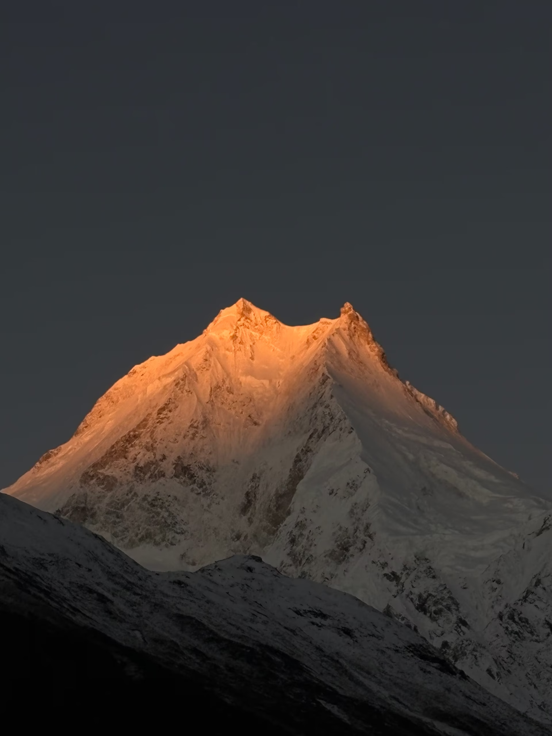
The Manaslu Circuit Trek takes you into a scenic restricted trekking region in Nepal. The trail circles Mount Manaslu, the world’s eighth-highest mountain at 8,163m / 26,781ft, through the Manaslu Conservation Area in Gorkha District. It then passes through deep river gorges, Tibetan-influenced villages, alpine forests, high yak pastures, and glacial terrain.

This 14-day itinerary follows the route from Kathmandu to Machha Khola, Jagat, Deng, Namrung, Shyala, Samagaon, Samdo, and Dharmasala/Dharamsala before crossing Larkya La Pass at 5,106m / 16,752ft. You then descend through Bimtang and Tilje to Dharapani, with a natural hot spring stop near Jagat on the drive back to Kathmandu.

Trip Info 

  • Machha Khola
  • Tilje
  • Approx. 140 to 171 km / 87 to 106 miles, depending on side hikes and road conditions
  • Trekking, hiking, and scenic drives
  • Moderate to challenging
  • March to May and September to November
  • Larkya La Pass, 5,106m / 16,752ft
  • 2 to 10 hours
  • Restricted Area Permit, Manaslu Conservation Area Permit, Annapurna Conservation Area Permit, Chumnubri Rural Municipality Permit, and Trekkers' Information Management System (TIMS) card
  • Hotel in Kathmandu and local teahouses/guesthouses during the trek
  • Breakfast, lunch, and dinner as per the package
  • Licensed guide and porter available; 1 porter for 2 trekkers

Why Trek the Manaslu Circuit

The Manaslu Circuit Trek takes you into a scenic restricted trekking region in Nepal. The trail circles Mount Manaslu, the world's eighth-highest mountain at 8,163m / 26,781ft, through the Manaslu Conservation Area in Gorkha District. It then passes through deep river gorges, Tibetan-influenced villages, alpine forests, high yak pastures, and glacial terrain.

This 14-day itinerary follows the route from Kathmandu to Machha Khola, Jagat, Deng, Namrung, Shyala, Samagaon, Samdo, and Dharmasala/Dharamsala before crossing Larkya La Pass at 5,106m / 16,752ft. You then descend through Bimtang and Tilje to Dharapani, with a natural hot spring stop near Jagat on the drive back to Kathmandu.

Trek Highlights 

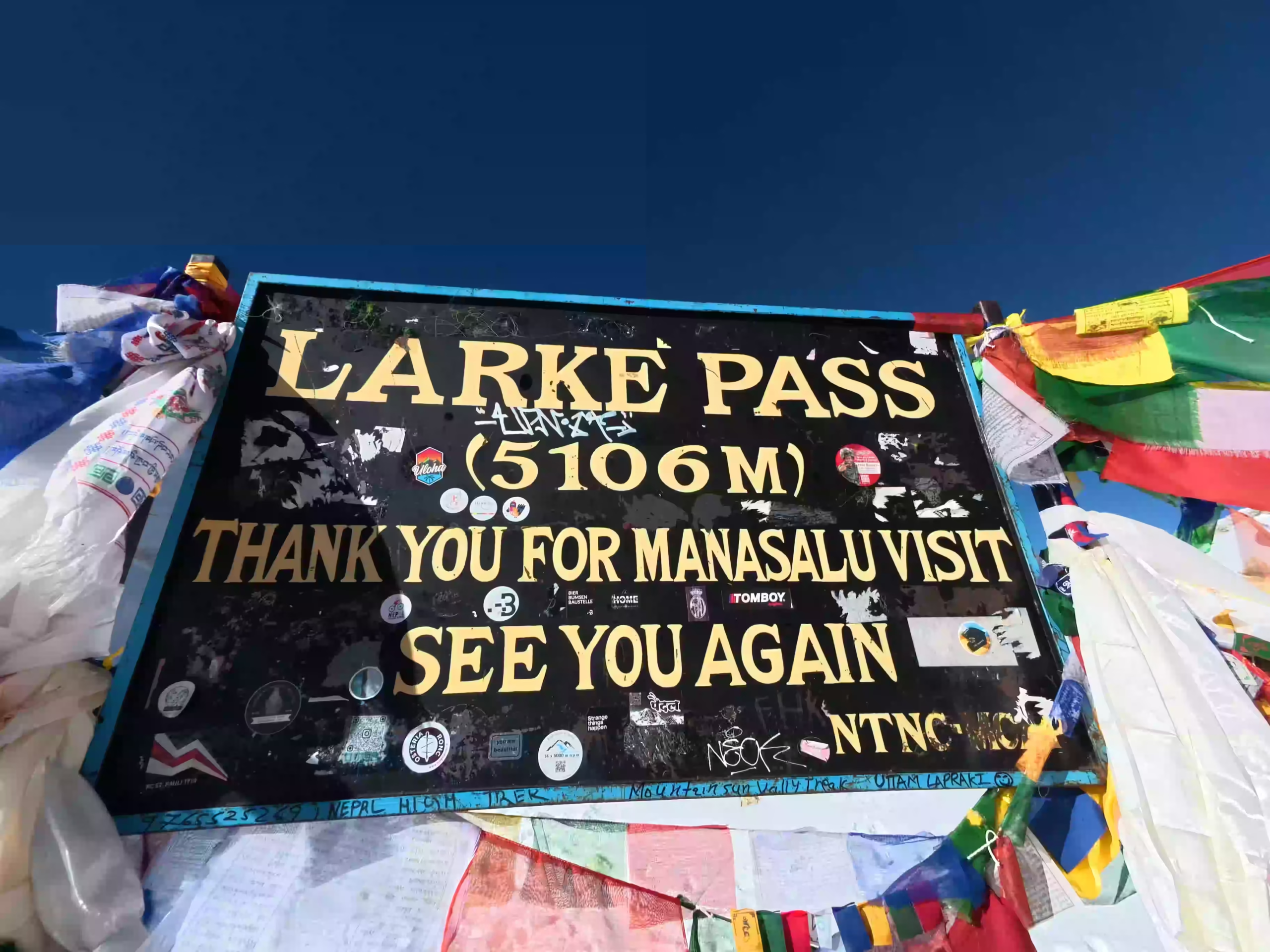
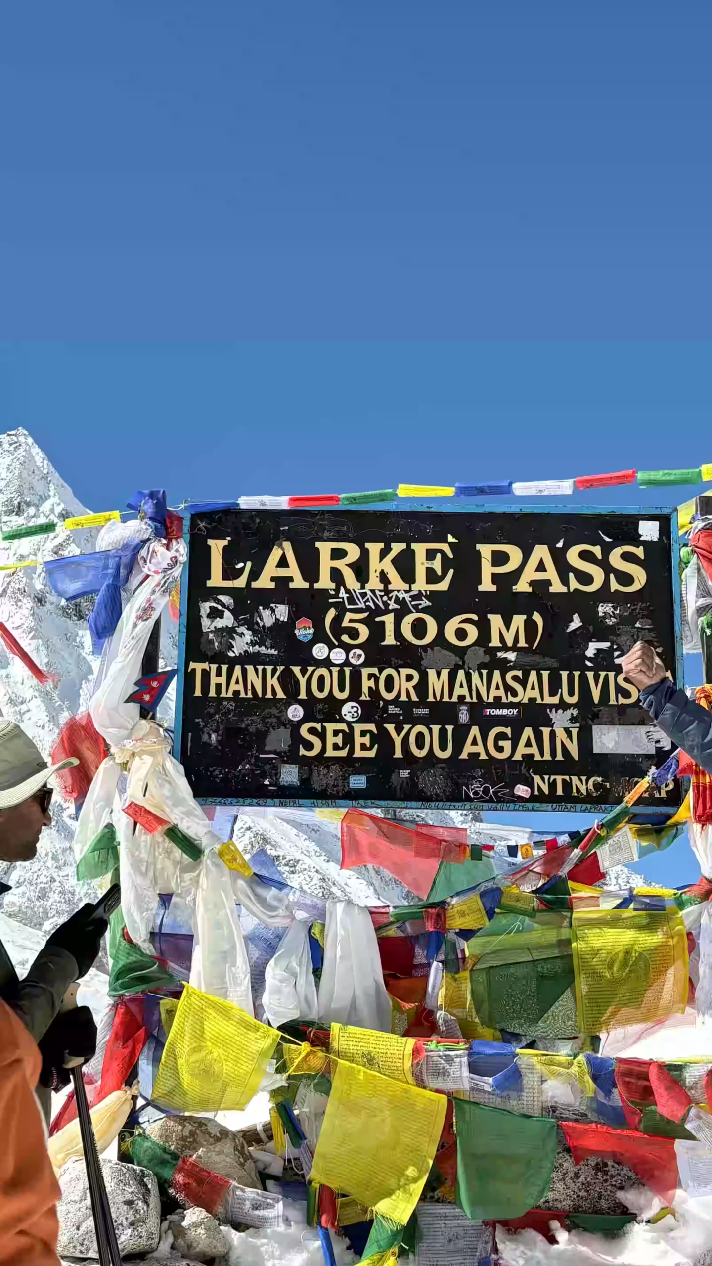
  • Cross Larkya La Pass at 5,106m / 16,752ft, the highest and most dramatic point of the circuit
  • Visit the Pungyen Monastery at 4,050m / 13,287ft and set directly beneath Manaslu's eastern face
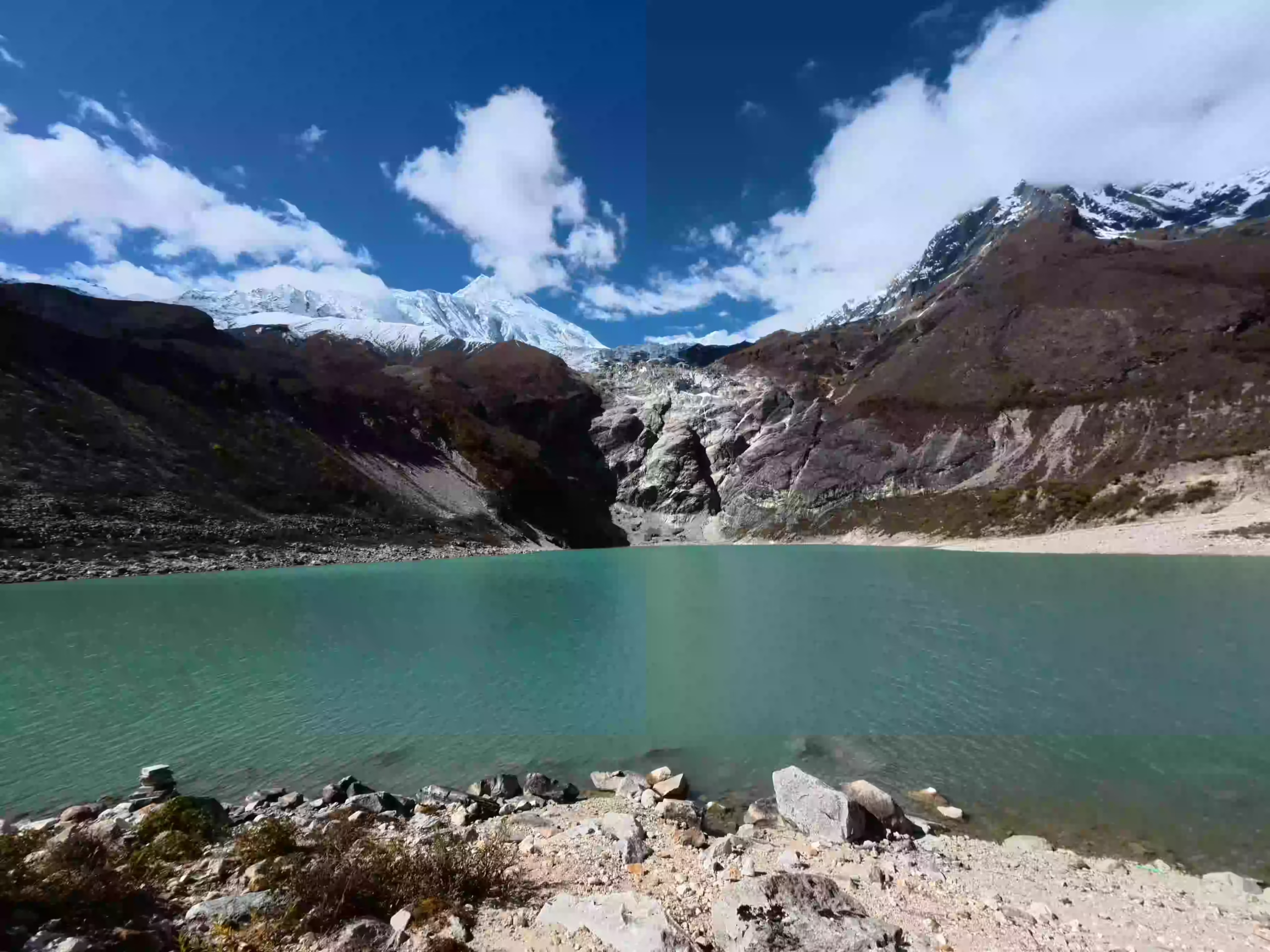
  • Hike to Manaslu Base Camp at 4,800m / 15,748ft or visit the turquoise glacial Birendra Lake at 3,691m / 12,110ft on the acclimatization day at Samagaon
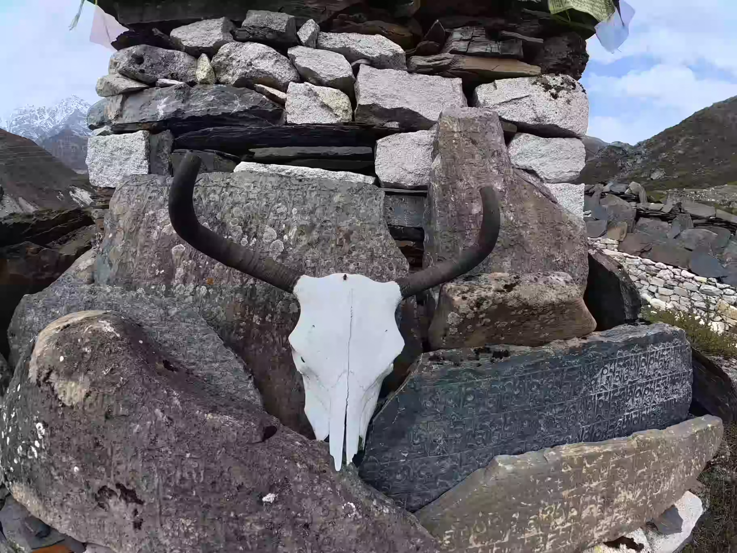
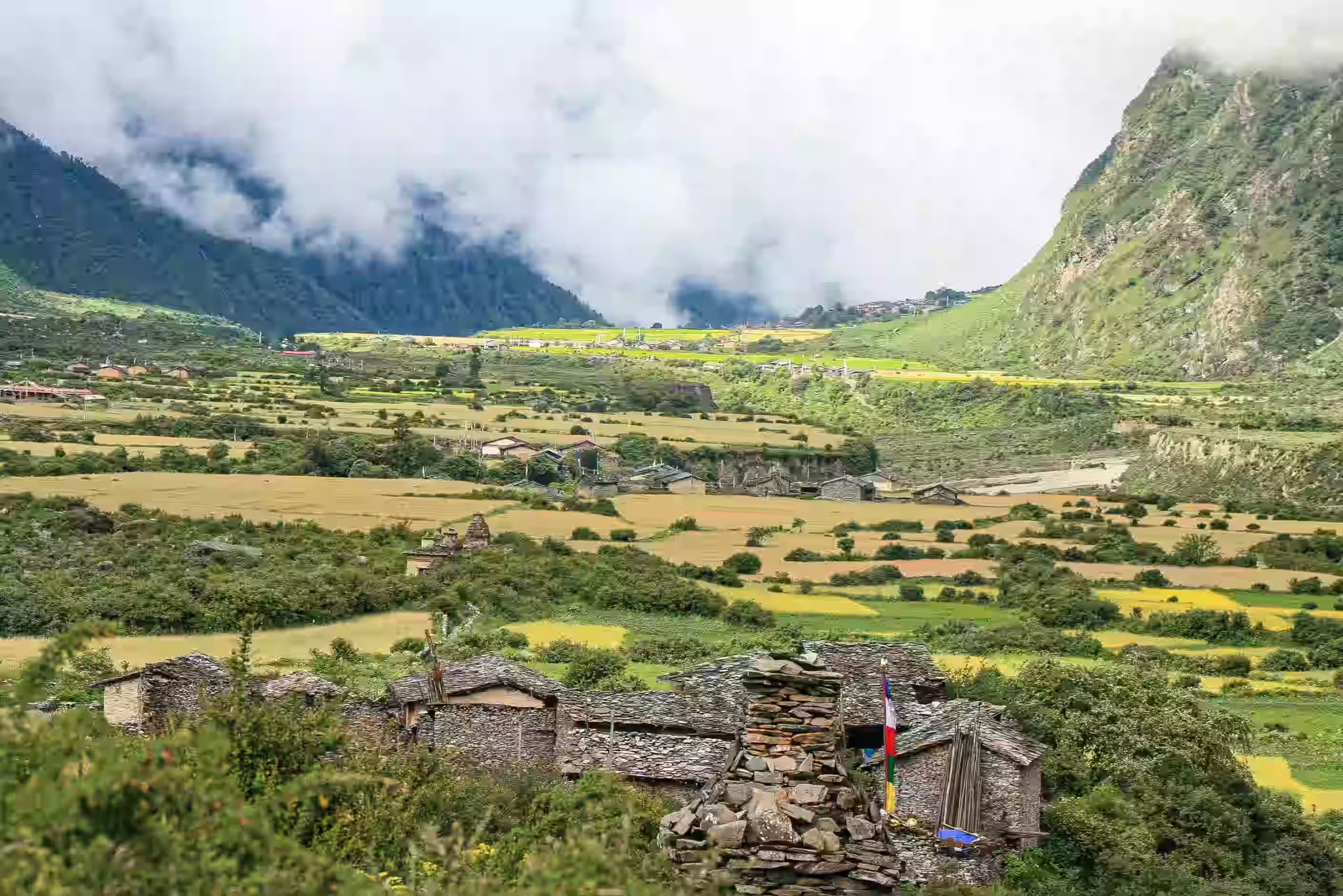
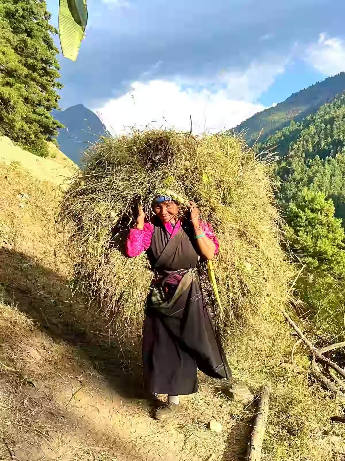
  • Walk through Tibetan Buddhist villages with mani walls, chortens, prayer flags, and ancient monasteries from Namrung onward
  • Pass the cantilever bridge at Yaru Bagar above the dramatic Budhi Gandaki gorge between Jagat and Deng
  • Sleep at Dharmasala at 4,460m / 14,632ft, the final teahouse stop before the Larkya La crossing
  • Descend through pine, oak, and rhododendron forest from Bimtang after the pass crossing with Manaslu's western face in full view
  • Stop at a natural hot spring along the Dharapani–Besisahar route

Tour Plan

Our team meets you at Tribhuvan International Airport and transfers you to your hotel in Thamel. After check-in, you can rest after your international flight or take a short walk around Thamel to explore the gear shops nearby.

Later, our guide will meet you for a full pre-departure briefing. The session covers the complete Manaslu Circuit Trek route, daily walking plan, permit requirements, packing needs, and altitude safety rules.

  • Drive Duration 25 to 30 minutes (airport to hotel)

Note: Keep your original passport, passport-size photos, and travel insurance ready for permit processing.
Your journey begins with an early departure from Kathmandu. The drive heads northwest along the Prithvi Highway, following the Trishuli River before turning north at Malekhu toward Arughat. The first half is on a paved road, but after Sotikhola, the surface transitions into a rough, unpaved track cut into the cliffside above the Budhi Gandaki River.

The remaining drive passes through terraced hillsides, cascading waterfalls, and small roadside settlements. By evening, you reach Machha Khola at 930m / 3,051ft, a small riverside teahouse village. This is the official trailhead where your trek begins the next morning.

  • Drive duration: 8 to 9 hours

  • Drive distance: 140 to 160 km / 87 to 99 miles

Note: Keep water, snacks, a rain cover, and a light warm layer in your day bag. Expect a long and tiring afternoon after Sotikhola.

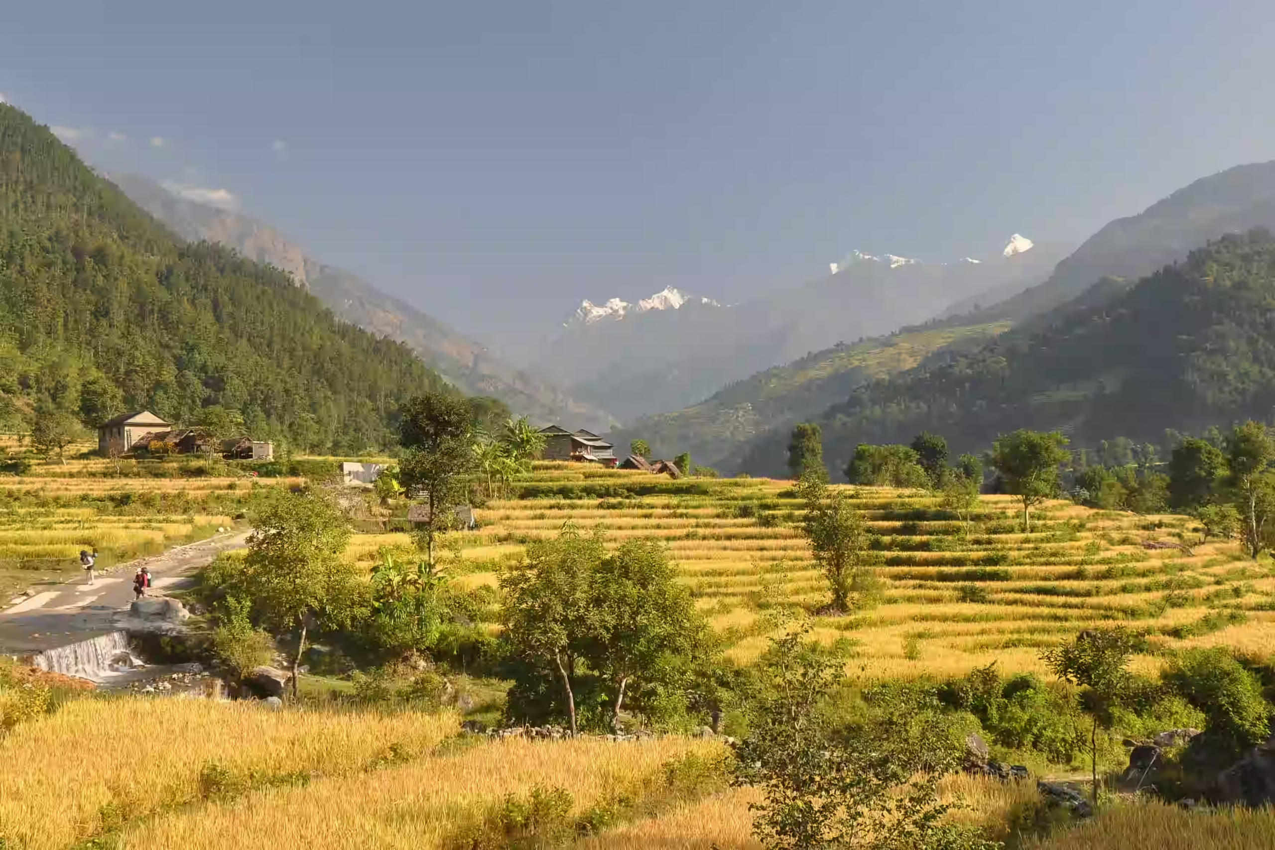
Your first trekking day starts beside the Budhi Gandaki River. The trail crosses multiple bridges and moves through narrow valley sections where the walls rise steeply on both sides. You pass through Khorlabesi, Tatopani, and Dobhan before the route begins climbing toward Jagat.

The path rolling over ridges and drops onto sandy riverbeds along the way. Jagat at 1,410m / 4,625ft serves as the official entry checkpoint for the upper Manaslu trekking zone, where your permits are verified for the first time.

  • Trek duration: 6 to 7 hours

  • Trek distance: 20 to 22 km / 12.4 to 13.7 miles

  • Maximum altitude: 1,410m / 4,625ft

  • Elevation gain: 480m / 1,574ft

Note: This is your first full walking day. Keep a steady pace, do not rush the early climbs, and check that your boots and pack fit comfortably.

You begin the day with a climb toward Salleri, then descend to Sirdibas. The valley opens for a short stretch, with terraced fields, stone houses, and small settlements along the route. From there, you continue toward Philim, a large Gurung village and the main checkpoint on this section.

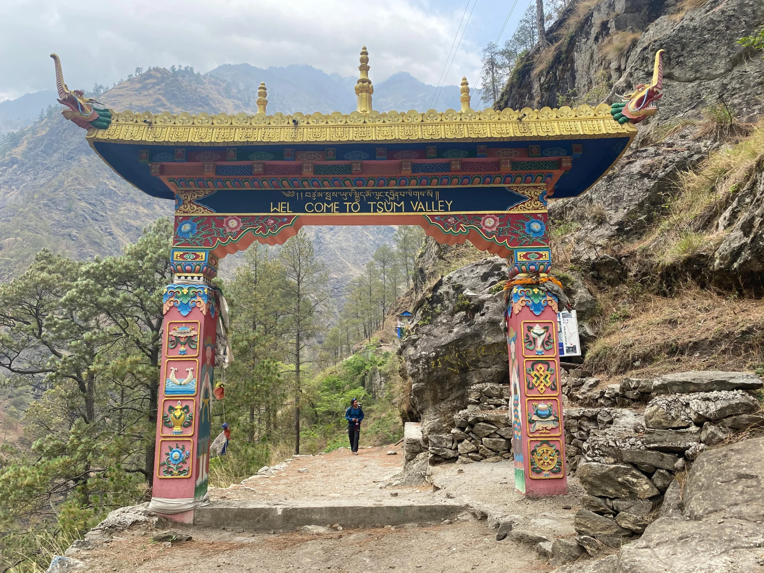
After Philim, the surroundings become narrower as the trail enters the Budhi Gandaki gorge. Near Ekle Bhatti, the route to Tsum Valley separates from the Manaslu Circuit trail. You stay on the main circuit and continue through quiet forest sections before reaching Deng at 1,860m / 6,102ft.

  • Trek duration: 6 to 7 hours

  • Trek distance: 20 to 21 km / 12.4 to 13 miles

  • Maximum altitude: 1,860m / 6,102ft

  • Elevation gain/ loss: 500m / 1,640ft

Note: The narrow gorge section after Philim is one of the most dramatic parts of the lower Manaslu trail. Walk carefully on exposed sections above the river.

Leaving Deng, you cross the Budhi Gandaki River. The trail climbs toward Bihi Phedi through bamboo, rhododendron, and pine forest. Then, you pass quiet river sections, small settlements, and several uphill stretches before reaching Ghap at 2,160m / 7,087ft.

From Ghap, your route continues through forested terrain toward Namrung. Tibetan Buddhist cultural features become more visible along the trail, with mani walls, chortens, prayer flags, and stone houses appearing more often. Namrung at 2,630m / 8,629ft sits on a broad ridge with views of Shringi Himal at 7,187m / 23,579ft and Kutung Himal at 6,064m / 19,895ft.

  • Trek duration: 6 to 7 hours

  • Trek distance: 13 to 19 km / 8 to 11.8 miles

  • Maximum altitude: 2,630m / 8,629ft

  • Elevation gain: 770m / 2,526ft

Note: This day has the highest elevation gain so far on the circuit. Drink water often and take short breaks on the steeper forest sections above Bihi Phedi.

You leave Namrung and climb through barley fields, buckwheat farms, and small mountain villages. The route passes Lihi and Sho before reaching Lho at 3,180m / 10,433ft. Lho is home to Ribung Gompa, a large monastery above the village, and gives you the first close views of Mount Manaslu at 8,163m / 26,781ft.

From Lho, the trail continues higher toward Shyala Village at 3,520m / 11,549ft. The village sits in a wide-open valley with mountain views in every direction. On a clear day, you see Manaslu, Ngadi Chuli, Himalchuli, and Naike Peak.

  • Trek duration: 5 to 6 hourss

  • Trek distance: 11 to 14 km / 6.8 to 8.7 miles

  • Maximum altitude: 3,520m / 11,549ft

  • Elevation gain: 890m / 2,920ft

Note: Walk slowly, eat a full dinner, and drink 3 to 4 liters of water. Notify your guide right away if you feel a headache, nausea, dizziness, or unusual tiredness.

After leaving Shyala, you take the detour trail toward Pungyen Monastery instead of walking directly to Samagaon. The first section climbs steeply up stone steps and narrow mountain paths. After the climb, the trail opens onto a wide alpine plateau below the eastern face of Mount Manaslu.

Pungyen Monastery sits at 4,050m / 13,287ft, with the Pungyen Glacier rising behind the complex. The monastery area includes the main assembly hall, monks' quarters, and painted rock faces. After exploring, you descend back to the main route and continue to Samagaon. Samagaon is the largest Tibetan village on the circuit with teahouses, a police checkpoint, and a health post.

  • Trek duration: 6 to 7 hours

  • Trek distance: 14 to 16.5 km / 8.7 to 10.2 miles

  • Maximum altitude: 4,050m / 13,287ft (Pungyen Monastery)

  • Elevation gain: 530m / 1,739ft

Note: The Pungyen Monastery detour adds altitude and walking time to the day. Start early from Shyala, walk steadily on the climb, and avoid rushing the descent to Samagaon.

This is your acclimatization day at Samagaon. You stay at the same sleeping altitude, but take an active hike so your body adjusts before the route climbs higher. Depending on trail conditions, your fitness, and our guide's advice, you can choose Manaslu Base Camp or Birendra Lake.

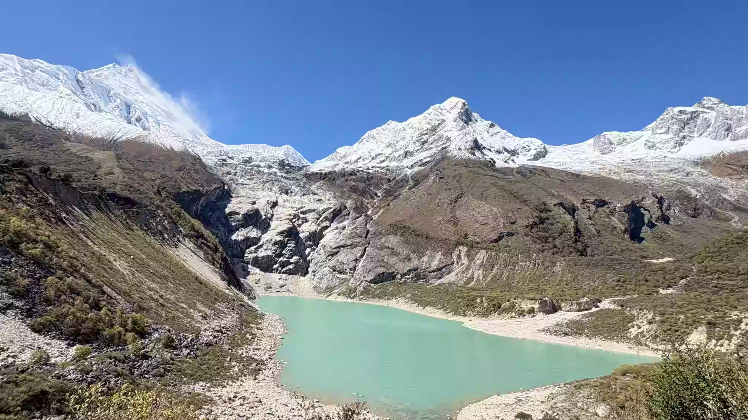
The shorter option is a walk to Birendra Lake (3,691m / 12,110ft), a turquoise glacial lake near the Manaslu glacier. If you prefer a longer hike, you can continue from Birendra Lake along alpine and moraine trails to Manaslu Base Camp (4,800m / 15,748ft) before returning to Samagaon. This hike allows you to enjoy mountain views and prepare for Dharmasala and the Larkya La Pass crossing.

  • Hike duration: 2 to 8 hours

  • Hike distance: 2.9 to 13.2 km / 1.8 to 8.2 miles

  • Maximum altitude: 3,691m / 12,110ft (Birendra Lake); 4,800m / 15,748ft (Manaslu Base Camp)

  • Elevation gain: 161m / 529ft (Birendra Lake); 1,270m / 4,166ft (Manaslu Base Camp)

Note: Maintain a slow, steady pace during this acclimatization day and stay well hydrated. This active hike helps prepare your body for Dharmasala and the Larkya La Pass crossing.

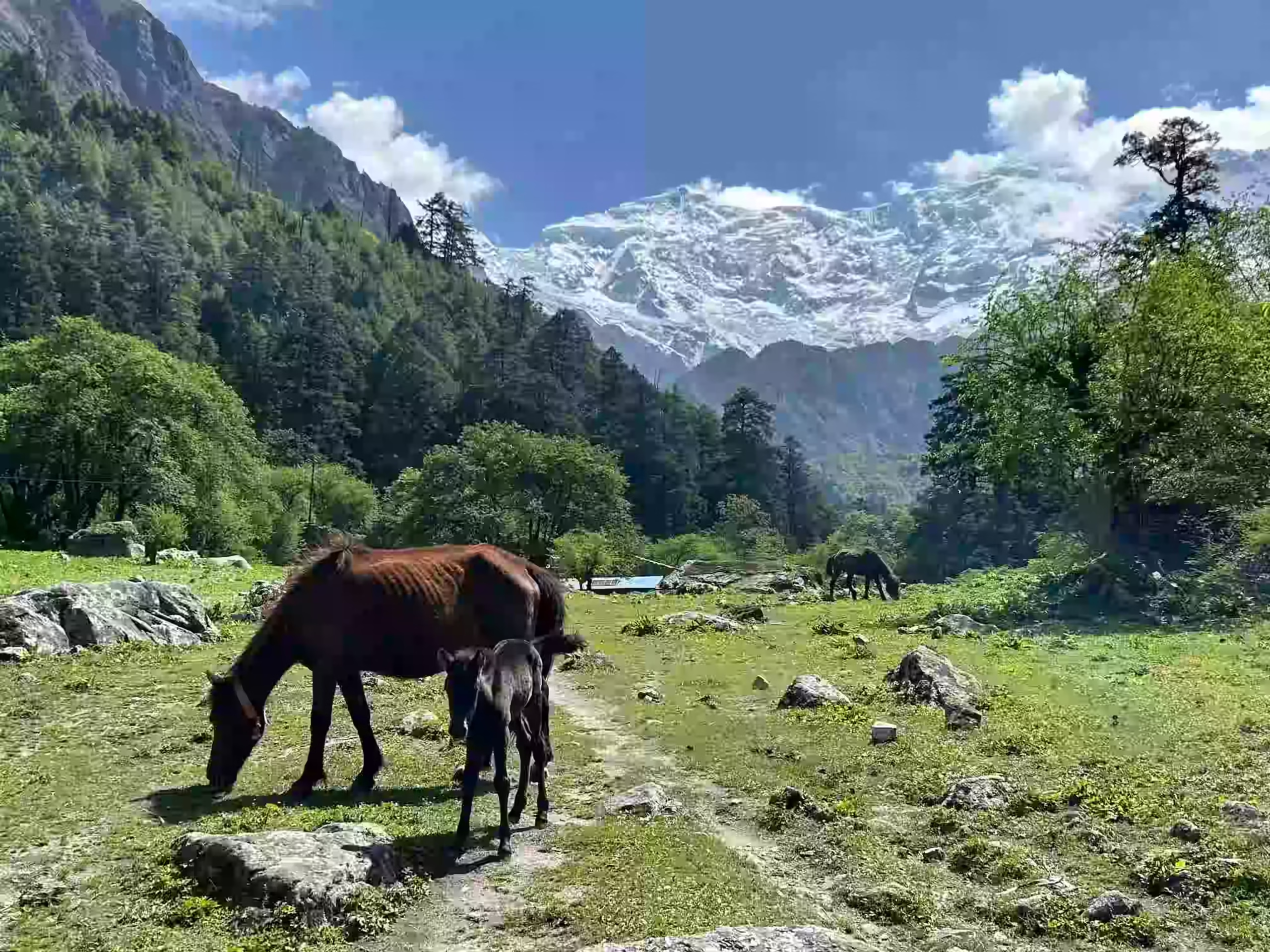
You leave Samagaon and walk north along the Budhi Gandaki River. The trail rises gently through juniper and birch forest, with wooden bridges, mani walls, and chortens along the way. This shorter walking day helps your body adjust before the ascent to Dharmasala.

The path passes Lela Kharka and Khermo Kharka before reaching Samdo at 3,860m / 12,664ft. Samdo is an isolated Tibetan refugee settlement and one of the highest permanent villages in the Manaslu region. In the afternoon, a short hike above the village helps with acclimatization before the climb to Dharmasala.

  • Hike duration: 3 to 4 hours

  • Hike distance: 8 to 9 km / 5 to 5.6 miles

  • Maximum altitude: 3,860m / 12,664ft

  • Elevation gain: 330m / 1,083ft

Note: Rest well, eat a full dinner, and drink enough water before the direct climb to Dharmasala at 4,460m / 14,632ft.

After breakfast in Samdo, you cross a narrow wooden bridge over the Budhi Gandaki River and begin the gradual climb toward Dharmasala. The landscape becomes drier and rockier as you gain altitude. Along the way, you pass the ruins of Larkya Bazaar, an old seasonal trade point once used by Tibetan traders.

Dharmasala at 4,460m / 14,632ft, also called Larkya Phedi / Larke Phedi, is the final stop before crossing Larkya La Pass. The setting feels cold and bare as you reach the base of the high pass. Facilities are very limited here, so the evening is mainly for rest, packing, and early sleep.

  • Trek duration: 4 to 5 hours

  • Trek distance: 11 to 12 km / 6.8 to 7.5 miles

  • Maximum altitude: 4,460m / 14,632ft

  • Elevation gain: 600m / 1,968ft

Note: Pack your sleeping bag liner, fill all water bottles before sleeping, and keep every warm layer ready for the pre-dawn Larkya La crossing.

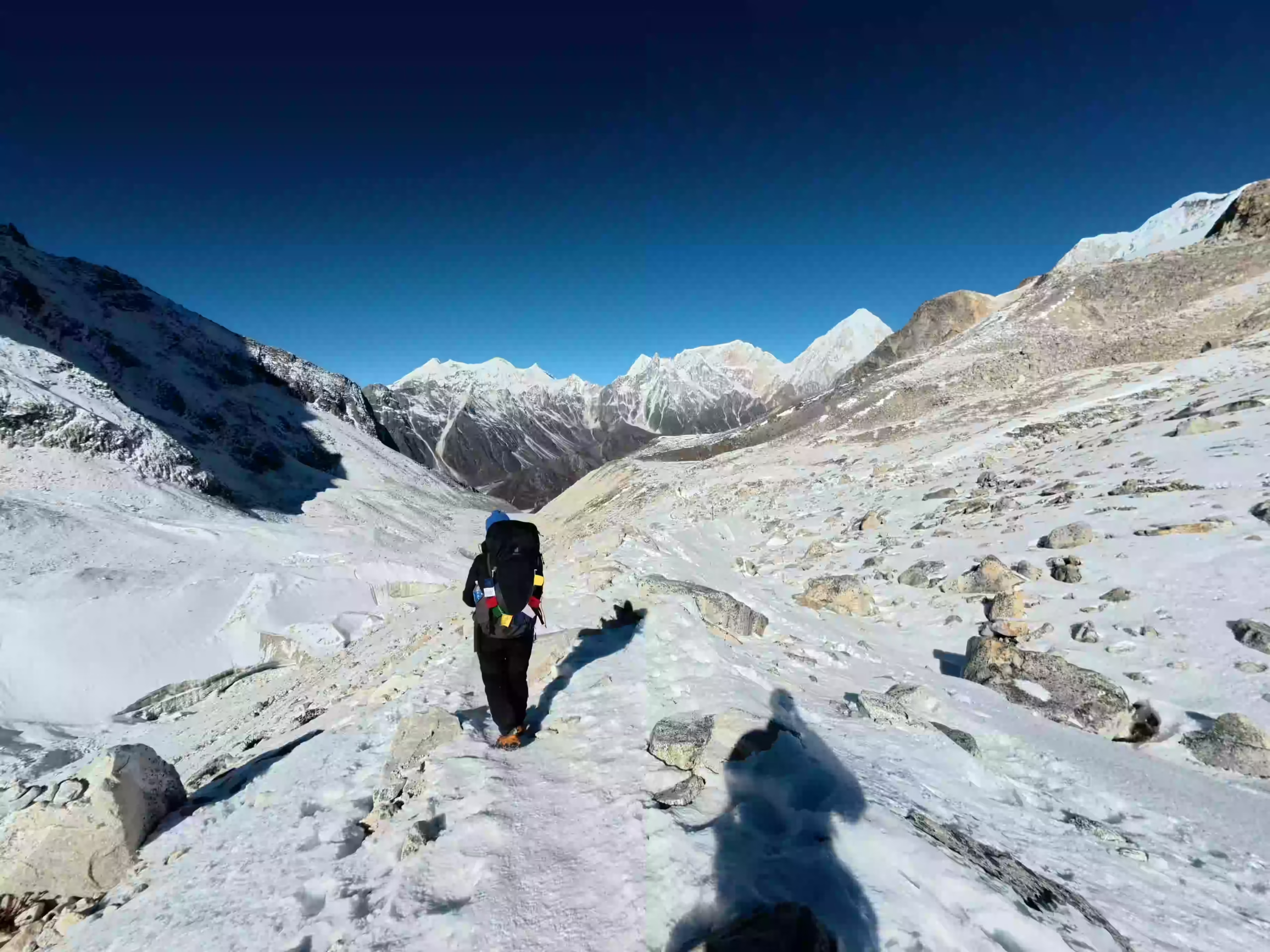
Departing from Dharmasala around 4:00 to 5:00 AM, you begin the most challenging day of the trek, following the trail with a headlamp before sunrise. The early start helps you reach Larkya La Pass before strong winds and afternoon clouds build up. The trail crosses cold moraine, frozen ground near glacial lakes, boulder fields, and open glacial terrain as daylight slowly spreads across the high mountains.

Prayer flags mark the top of Larkya La Pass at 5,106m / 16,752ft, the highest point of the trek. From the pass, you see Gyaji Kang, Himlung Himal, Cheo Himal, Kang Guru, and Annapurna. The descent to Bimtang is long and steep, dropping over snow, scree, and loose gravel before the trail finally reaches the open meadows of Bimtang.

  • Trek duration: 8 to 10 hours

  • Trek distance: 15 to 17 km / 9.3 to 10.6 miles

  • Maximum altitude: 5,106m / 16,752ft

  • Elevation gain: +636m / +2,086ft / -1,386m / -4,547ft

Note: Carry microspikes or crampons, enough food, and enough water for the full day. Wear warm layers from the start because there are no teahouse stops between Dharmasala and Bimtang.

The hardest section of the circuit is now behind you. From Bimtang, the trail descends through alpine pastures before entering rhododendron and pine forest. You pass Gho village and continue down toward the Dudh Khola valley, where the landscape becomes greener and warmer with each hour of walking.

Tilje at 2,300m / 7,546ft is a traditional Gurung village known locally for apple brandy. From here, a short drive takes you to Dharapani, crossing the Marsyangdi River. This is where the Manaslu Circuit meets the Annapurna Circuit route, and the final permit checkpoint marks your exit from the restricted zone.

  • Trek duration: 6 to 8 hours

  • Trek distance: 25 to 27 km / 15.5 to 16.8 miles

  • Drive distance: 30 minutes

  • Maximum altitude: 3,720m / 12,204ft

  • Elevation loss: 1,860m / 6,102ft

Note: An early start from Bimtang is best. The trail is mostly downhill but long, so trekking poles can reduce strain on your knees.

From Dharapani, your journey turns back toward Kathmandu by road. The first part of the drive is slow and rough as the vehicle moves through the Marsyangdi valley toward Besisahar. Lower down, the road improves, and the mountain scenery gradually changes into warmer hills, roadside towns, and farmland.

Before continuing to Kathmandu, you stop at a natural hot spring along the Dharapani-Besisahar route. After the break, the drive continues to Kathmandu. In the evening, you join a farewell dinner with the team to celebrate the end of the trek.

  • Drive duration: 9 to 11 hours

  • Drive distance: 220 to 240 km / 137 to 149 miles

  • Maximum altitude: 1,860m / 6,102ft

  • Elevation loss: 460m / 1,509ft

Note: Bring a towel and a change of clothes for the hot spring stop. The spring is outdoors, and the water temperature varies by season.

Your final day in Kathmandu is free until your airport transfer. Depending on your flight time, you have time for packing, breakfast, last-minute shopping, or a short walk around Thamel.

Our team transfers you from your hotel to Tribhuvan International Airport. The drive usually takes around half an hour, depending on traffic and hotel location.

  • Drive Duration 25 to 30 minutes

  • Drive Duration 5 to 7 km / 3.1 to 4.3 miles

Note: Reach the airport at least 3 hours before your international flight. Confirm your pickup time with the team the evening before.

Cost Includes

Cost Excludes

Trekking Feasibility
Calculating...
Projections represent historical trends and general seasonal elevation conditions.
Route Stop & Elevation
Daytime (Sunny)
Nighttime (Cold)

Note: These temperatures represent the peak trekking seasons (spring from March to May and autumn from September to November). High-altitude weather can change rapidly, especially around Dharmasala and Larkya La Pass.

Spring, from March to May, and autumn, from September to November, are the best seasons for the Manaslu Circuit Trek. These months usually bring clearer skies, drier trails, and more stable conditions in the upper mountain areas.

The trek is also possible in winter and during the monsoon for experienced trekkers with proper preparation. Winter can bring heavy snow and very cold nights, while the monsoon may cause slippery trails, landslides, and rough road conditions. Trekking outside the main seasons requires more flexibility and careful planning.

You stay in a 3-star hotel in Kathmandu and in local teahouses during the trek. Rooms are simple, with basic beds, blankets, and shared toilets. Facilities become more basic as you move higher, so carrying a warm sleeping bag is recommended.


Dal bhat is the most common meal and includes rice, lentil soup, vegetables, and pickle. Other options include thukpa, Tibetan bread, momos, fried rice, noodles, pancakes, eggs, garlic soup, tea, and coffee. Carry snacks for the high-pass day because food stops are not available along that section.

The Manaslu Circuit Trek is moderate to challenging. The route includes long walking days, narrow river trails, suspension bridges, steady climbs, and the crossing of Larkya La Pass at 5,106m / 16,752ft.

The hardest day is the walk from Dharmasala to Bimtang, which may include snow, ice, moraine, and a long descent after the pass. You do not require climbing skills, but you should be prepared to walk for 6 to 8 hours on most days and up to 10 hours on the longest day.

The Manaslu Circuit Trek takes you from warm lower river valleys to cold Tibetan-influenced villages, open alpine terrain, and the high Larkya La Pass. Pack light, but carry enough layers and trekking gear for changing weather across 14 days on the trail.

Book Your Manaslu Circuit Trek

Ready to cross Larkya La Pass and trek through the remote Manaslu region? Contact Joyful Eco Treks today to book your 14-day Manaslu Circuit Trek.

Frequently Asked Question

How difficult is the Manaslu Circuit Trek?

The Manaslu Circuit Trek is moderate to challenging. The route includes long walking days, remote and uneven trails, steady altitude gain, and limited facilities in the upper valley. The hardest part is crossing Larkya La Pass at 5,106m / 16,752ft.

The Manaslu Circuit Trek usually takes 12 to 16 days, depending on the route, acclimatization plan, and transport schedule.

Yes, a beginner can do the Manaslu Circuit Trek with good fitness, proper preparation, and a licensed guide. The route is remote, the walking days are long, and the pass crossing is physically demanding.

Yes, the Manaslu Circuit Trek is generally harder than the Annapurna Circuit route. Manaslu has more remote sections, fewer facilities, rougher road access, and a demanding crossing over Larkya La Pass. On the other hand, Annapurna usually has better-developed teahouses and easier road access.

The Manaslu Trek usually costs around $900 to $5,000 per person for a standard group trek of 10 to 14 days. A private trek usually costs around $1,500 to $2,500 per person. However, the final cost depends on group size, transport, hotel category, guide and porter service, permits, meals, and included services.

The highest point of the Manaslu Circuit Trek is Larkya La Pass at 5,106m / 16,752ft. It lies between Dharmasala and Bimtang and is the most demanding section of the route.

Yes, you need a licensed guide for the Manaslu Circuit Trek. The Manaslu region is a restricted trekking area, so independent trekking is not allowed. Your permits must be arranged through a registered trekking agency.

You need the Restricted Area Permit, Manaslu Conservation Area Permit, Annapurna Conservation Area Permit, Chumnubri Rural Municipality Permit, and TIMS registration. These permits are arranged through a registered trekking agency.

Yes, you can trek the Manaslu Circuit as a solo traveler. Although solo trekking is generally restricted in Nepal’s restricted areas, the revised permit rule allows one traveler to enter the Manaslu region with the required permit. However, independent trekking is still not allowed, so you must complete the trek with a government-licensed guide.

Ready to Trek the Manaslu Circuit?

Share your travel dates, group size, and trekking experience, and our local team will help you plan the best 14-day Manaslu Circuit Trek with proper permits, licensed guide support, safe pacing, transport, meals, accommodation, and clear cost details.