15-Day Annapurna Circuit Trek: Route, Map & Permits Joyful Eco Treks | Nepal’s Best Trek and Tours Packages

Annapurna Circuit Trek | 15 Days

Annapurna, Gandaki Province, Nepal

15 Days

Trek-region

Annapurna

Group Size

1-12 (Private & Small Group)

The Annapurna Circuit Trek is a 15-day journey through the Marsyangdi Valley, upper Manang, Thorong La Pass, Muktinath, and the Kali Gandaki Valley. The trip begins with road travel from Kathmandu to Dharapani, where the walking route starts through forests, river valleys, and mountain villages.

From Dharapani, the trail climbs through Chame, Pisang, Manang, Ledar, and High Camp before reaching Thorong La at 5,416m (17,769ft). After crossing the pass, you descend to Muktinath and continue by road through Jomsom, Marpha, Tatopani, and Pokhara before returning to Kathmandu.

Trip Info 

  • Dharapani
  • Muktinath
  • Approx. 80 to 90 km / 49.7 to 55.9 miles, including the Manang acclimatization hike
  • Trekking/Hiking + Scenic Drives
  • Challenging
  • Mar to May, Sep to Nov
  • Thorong La Pass, 5,416m / 17,769ft
  • 4 to 7 hours, with 8 to 10 hours on the pass day
  • Annapurna Conservation Area Permit (ACAP), TIMS Card
  • Hotels in Kathmandu and Pokhara; teahouses and guesthouses during the trek
  • Breakfast, lunch, and dinner during the trekking days
  • Licensed trekking guide and porter support (1 porter for 2 trekkers)

Why Trek the Annapurna Circuit

This 15-day Annapurna circuit itinerary is built around the classic high-pass crossing of Thorong La (5,416m), with a comfortable rhythm that includes an acclimatization day in Manang. You begin with the drive from Kathmandu to Besisahar, continue by road to Dharapani, then trek through the Manang valley route via Chame and Pisang, where the scenery shifts from green pine forests to wide alpine landscapes.

From Manang, you trek to Ledar and High Camp, then take on the main challenge of the trip, crossing Thorong La Pass and descending to Muktinath, a sacred pilgrimage site. The journey then turns relaxing, with a drive to Tatopani for hot springs, time in Pokhara, and a return to Kathmandu for a dedicated spa and massage day before flying home.

Trek Highlights 

  • Begin the walking route from Dharapani in the Marsyangdi Valley.
  • Trek through Bagarchhap, Timang, Koto, and Chame beneath forested mountain slopes.
  • Walk past the apple orchards of Bhratang and the curved rock wall of Paungda Danda.
  • Follow the Upper Pisang route through Ghyaru and Ngawal when weather and trail conditions allow.
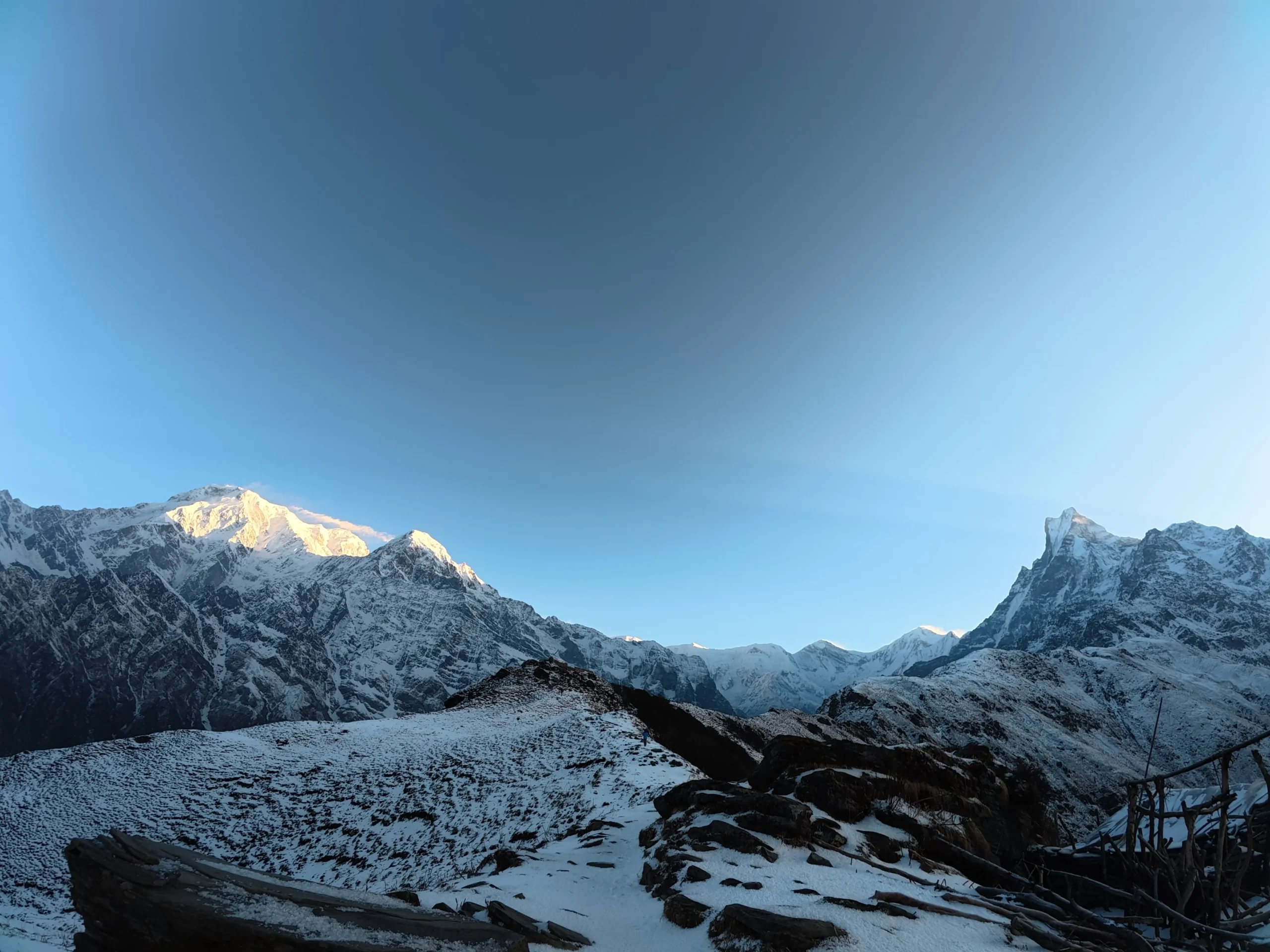
  • See Annapurna II, Annapurna III, Annapurna IV, Gangapurna, Pisang Peak, and the Chulu range.
  • Visit Braga Monastery and walk through Tibetan-influenced villages in upper Manang.
  • Spend an acclimatization day in Manang with a hike toward Gangapurna Lake or Praken Gompa.
  • Continue through Tanki Manang, Gunsang, Yak Kharka, Ledar, and Thorong Phedi.
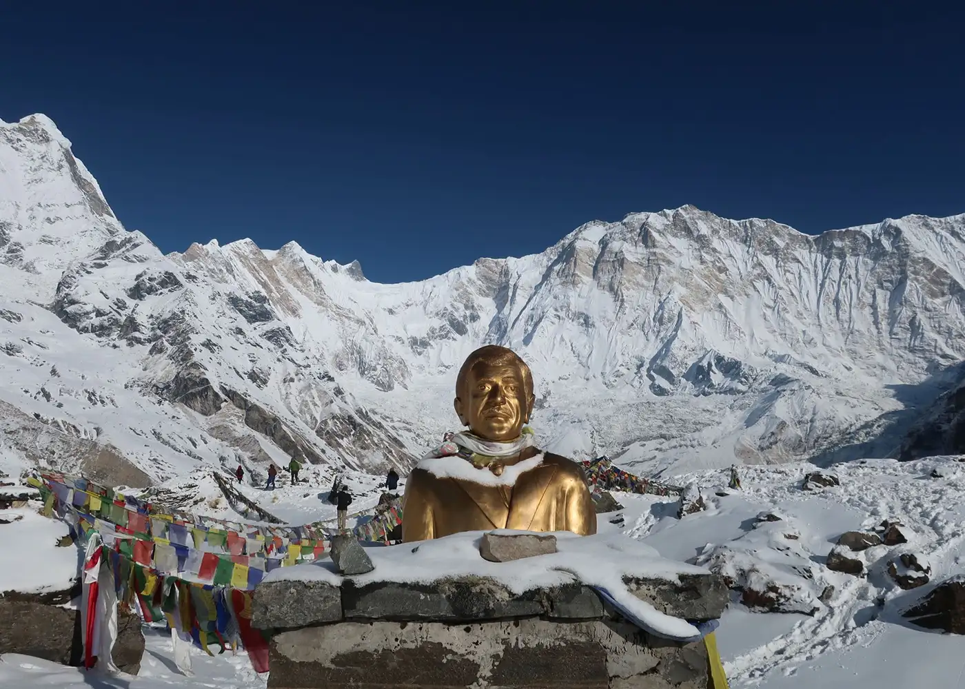
  • Cross Thorong La Pass at 5,416m (17,769ft), the highest point of the itinerary.
  • Descend from the pass to Muktinath, a sacred site for Hindu and Buddhist pilgrims.
  • Travel through Kagbeni, Jomsom, Marpha, Tukuche, and the Kali Gandaki Valley.
  • See the change from Mustang's dry terrain to the greener hills around Tatopani.
  • Rest near the natural hot springs in Tatopani after completing the high-altitude section.
  • Spend time beside Phewa Lake in Pokhara before returning to Kathmandu.

Tour Plan

You arrive at Tribhuvan International Airport, where our representative welcomes you and arranges your transfer to the hotel. After check-in, you can rest, unpack, or take a short walk through the nearby streets of Thamel.

Later, your trekking guide meets you for a pre-trip briefing. The session covers the Annapurna Circuit route, current trail conditions, altitude safety, packing requirements, and the next day's drive to Besisahar.

  • Drive duration: 25 to 30 minutes

  • Drive duration: 5 to 7 km / 3.1 to 4.3

Note: Check your hiking boomiles, depending on the hotel locationts, thermal layers, sleeping bag, headlamp, and other trekking gear before leaving Kathmandu.
After breakfast, you leave Kathmandu and travel west along the Prithvi Highway. The road follows the Trishuli River toward Mugling before turning north at Dumre into the lower Marsyangdi Valley.

Terraced fields, forested hills, roadside markets, and river settlements appear throughout the drive. By late afternoon, you reach Besisahar, the main road gateway to the eastern side of the Annapurna Circuit.

  • Drive duration: 7 to 8 hours

  • Drive distance: 175 to 185 km / 108.7 to 115 miles

  • Maximum altitude: 1,400m / 4,593ft

  • Elevation loss: -640m / -2,100ft

Note: Highway traffic and roadwork may extend the drive, so keep medicine, water, documents, and valuables in your day bag.

You leave Besisahar by jeep and continue deeper into the Marsyangdi Valley. The rough mountain road winds through Syange, Jagat, Chamje, and Tal, with steep canyon walls and the river running below.

Waterfalls, deep gorges, and narrow hillside roads shape most of the journey. By mid-afternoon, you reach Dharapani, where the road journey ends, and the walking section of the Annapurna Circuit begins the next morning.

  • Drive duration: 6 to 8 hours

  • Drive distance: 65 to 70 km / 40.4 to 43.5 miles

  • Maximum altitude: 1,860m / 6,102ft

  • Elevation gain: +1,100m / +3,609ftt

Note: The road is rough, dusty, and uneven in several sections. Keep a dust mask, light jacket, and personal medicine in your daypack.

Your first trekking day begins with a steady walk through pine and rhododendron forests toward Bagarchhap and Danaque. From Danaque, the trail climbs sharply up stone steps to Timang, where clear weather may reveal Mount Manaslu above the surrounding ridges.

The route then becomes gentler as it continues through Thanchowk and Koto before reaching Chame. Chame is the headquarters of Manang District and offers views of Annapurna II, Lamjung Himal, and the forested Marsyangdi Valley.

  • Trek duration: 5 to 6 hours

  • Trek distance: 15 to 16 km / 9.3 to 9.9 miles

  • Maximum altitude: 2,670m / 8,760ft

  • Elevation gain: +810m / +2,658ft

Note: The climb from Danaque to Timang is the hardest section of the day. Keep a warm layer nearby because Chame becomes cold soon after sunset.

You leave Chame and cross the Marsyangdi River before entering a pine forest toward Bhratang. This small settlement is known for its apple orchards, where you may stop for fresh apple juice, cider, or baked items.

Beyond Bhratang, the trail runs beneath Paungda Danda, a huge curved rock face rising above the valley. You then cross a suspension bridge and climb through Dhukur Pokhari before reaching Pisang, where the wider upper Manang Valley begins to open.

  • Trek duration: 5 to 6 hours

  • Trek distance: 13 to 14 km / 8.1 to 8.7 miles

  • Maximum altitude: 3,300m / 10,827ft

  • Elevation gain: +630m / +2,067ft

Note: This is the first overnight stop above 3,000m, so walk at a steady pace and drink enough water.

You leave Pisang and continue through the rain-shadow area of the upper Marsyangdi Valley. The guide chooses between the lower route through Humde and Braga or the steeper Upper Route through Ghyaru and Ngawal, depending on weather, trail conditions, and group fitness.

The Upper Route is more demanding but gives wider views of Annapurna II, Annapurna III, Annapurna IV, Gangapurna, and the surrounding valley. After descending from Ngawal, you continue toward Braga and reach Manang, where you stay for two nights for acclimatization.

  • Trek duration: 6 to 7 hours

  • Trek distance: 16 to 18 km / 9.9 to 11.2 miles

  • Maximum altitude: Ngawal, approx. 3,660m / 12,008ft

  • Elevation gain/ loss: +240m / +787ft

Note: The lower route through Humde may be used if snow, wind, health, or trail conditions make the upper path unsuitable.

You spend a second night in Manang to help your body adjust before the route climbs above 4,000m. In the morning, your guide leads an acclimatization hike toward Gangapurna Lake and its moraine viewpoint or Praken Gompa, depending on the weather and group condition.

The hike follows the climb-high, sleep-low approach, which allows you to reach a higher point during the day and return to Manang for the night. From the viewpoints, you may see Gangapurna, the Chulu range, glaciers, and the dry upper Marsyangdi Valley.

  • Hike duration: 3 to 5 hours

  • Hike distance: Approx. 4 to 7 km / 2.5 to 4.3 miles

  • Maximum altitude: Approx. 3,800 to 3,950m / 12,467 to 12,959ft

  • Elevation gain/loss: +260 to +410m / +853 to +1,345ft, followed by the same descent

Note: Keep the afternoon for rest, hydration, and preparation.

You leave Manang and climb gradually through Tanki Manang toward Gunsang. As the trail gains altitude, stone houses and cultivated fields give way to dry slopes, scrub juniper, and open alpine pastures.

From Gunsang, you continue through Yak Kharka and cross the Jarsang Khola before making the final climb to Ledar. The distance is moderate, but the higher sleeping altitude makes a slow and steady pace important.

  • Trek duration: 4 to 5 hours

  • Trek distance: 10 to 11 km / 6.2 to 6.8 miles

  • Maximum altitude: 4,200m / 13,780ft

  • Elevation gain: +660m / +2,165ft

Note: Headache, nausea, poor balance, vomiting, or unusual tiredness must be reported to the guide.

You leave Ledar and continue across open alpine slopes toward Thorong Phedi. The trail descends to a wooden bridge before crossing a loose scree section where falling rocks may affect the path.

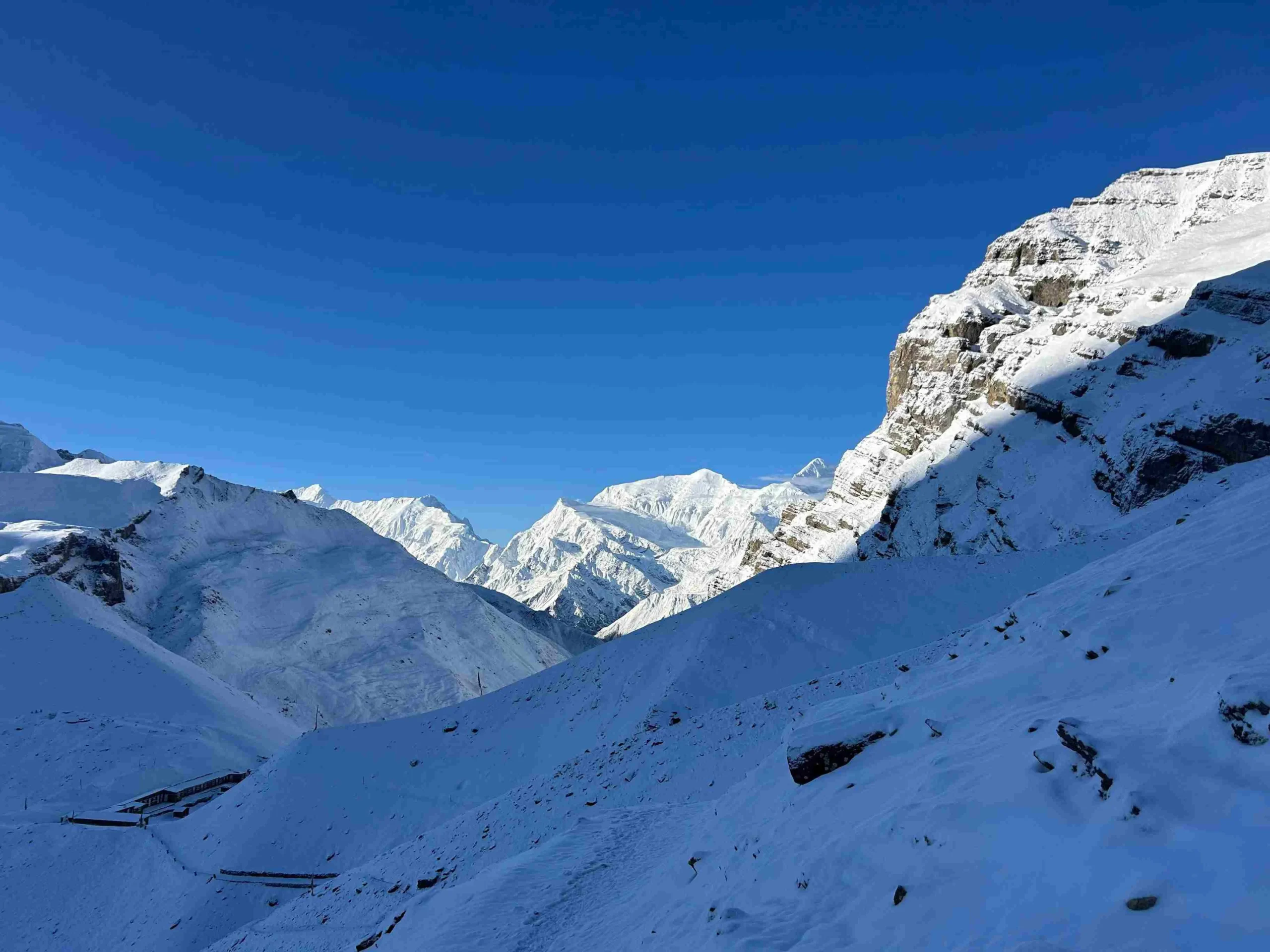
From Thorong Phedi at around 4,450m (14,600ft), you begin a steep zigzag climb to High Camp. You arrive early enough to rest, organize your pass-day gear, and prepare for the pre-dawn start toward Thorong La.

  • Trek duration: 4 to 5 hours

  • Trek distance: 7 to 9 km / 4.3 to 5.6 miles

  • Maximum altitude: 4,925m / 16,158ft

  • Elevation gain: +725m / +2,379ftm

Note: Prepare your headlamp, water, gloves, snacks, sunglasses, and outer layers before sleeping

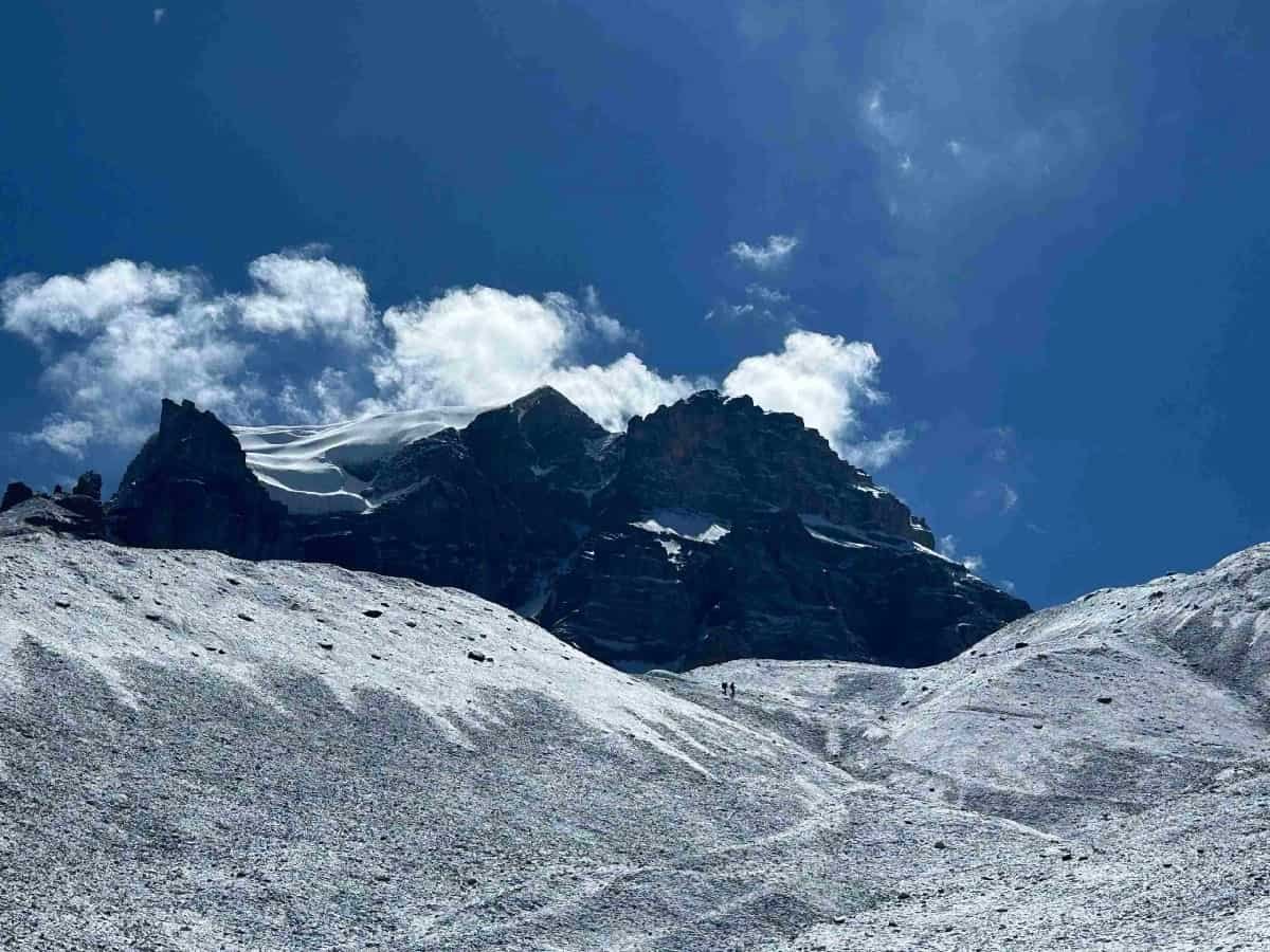
You leave High Camp at around 4:00 AM and begin the climb toward Thorong La in the dark, using a headlamp to follow the trail. Frozen switchbacks, thin air, and sub-zero temperatures make this the hardest day of the itinerary, so you walk slowly and follow your guide’s pace.

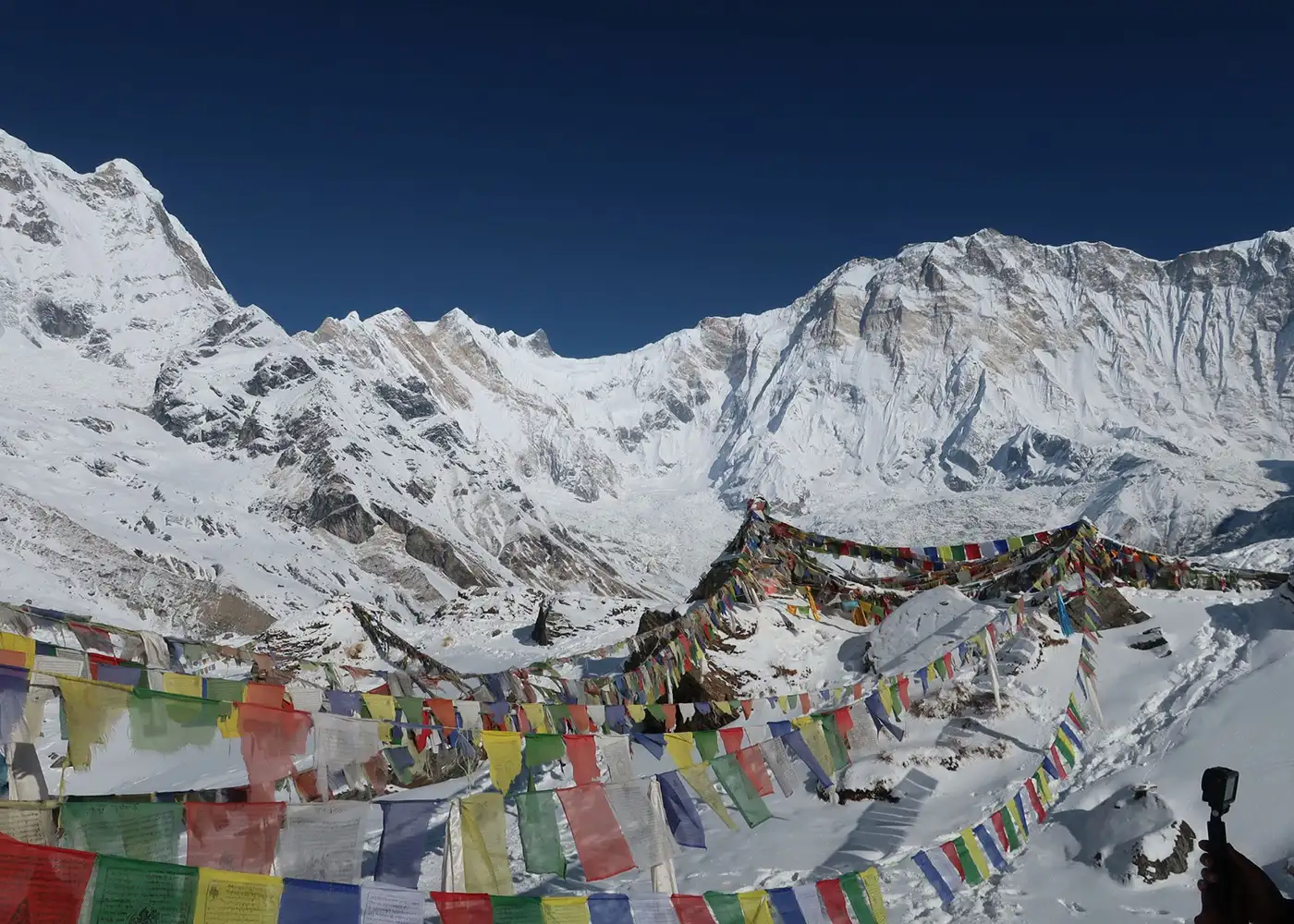
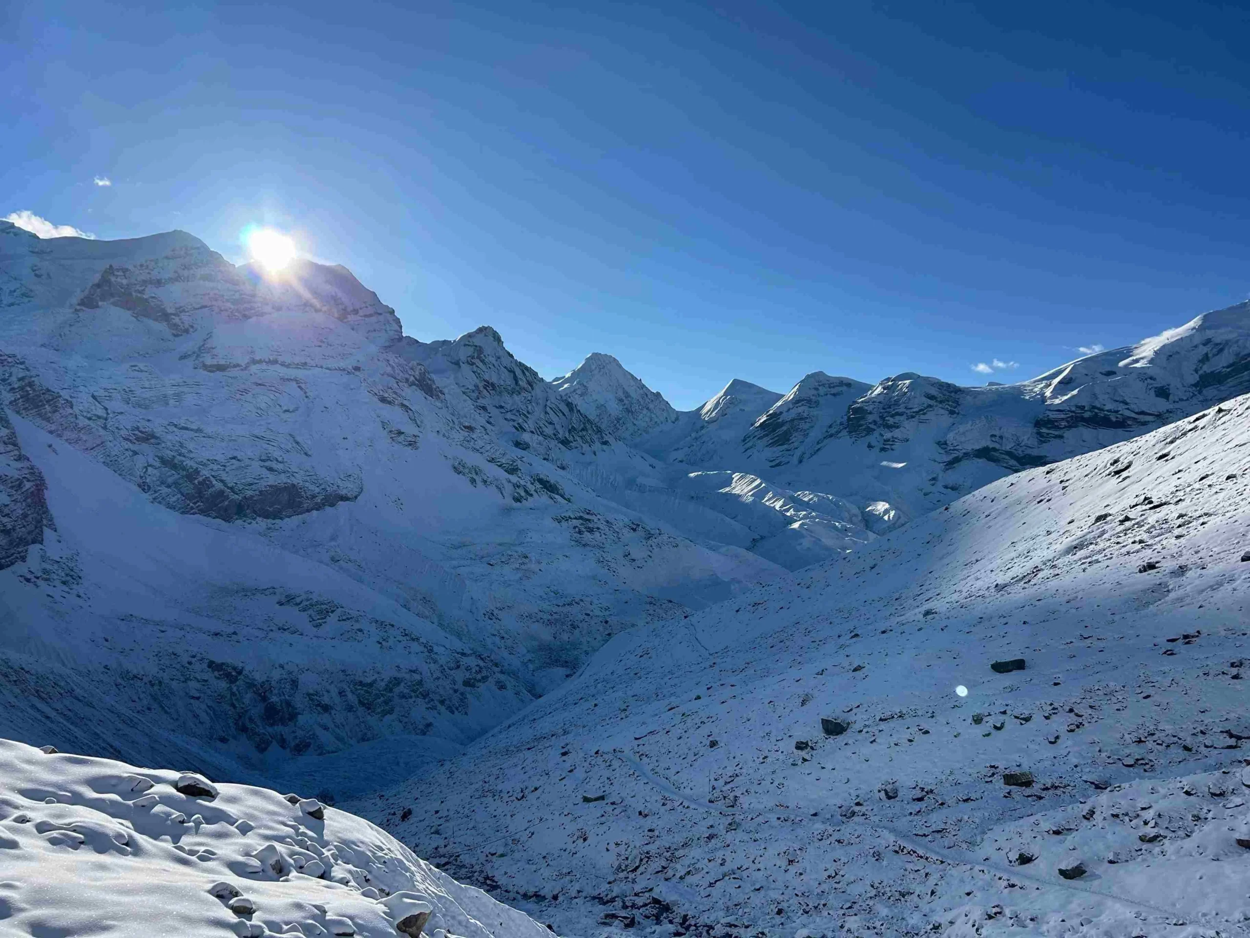
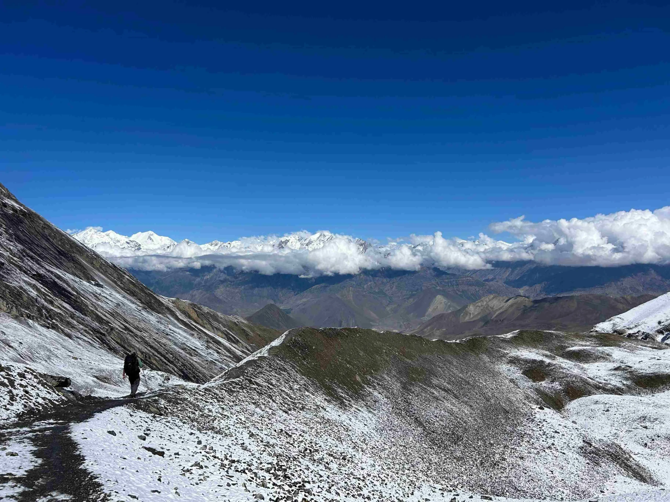
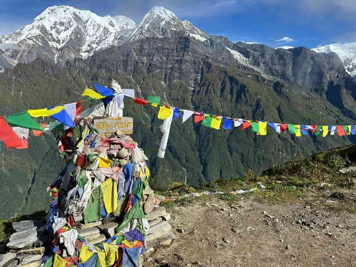
After several hours of climbing, prayer flags and the wooden pass marker signal your arrival at Thorong La, the highest point of the trek. You take a short break before descending across loose shale and dry slopes toward Muktinath, a sacred pilgrimage site in the Mustang region.

  • Trek duration: 8 to 10 hours

  • Trek distance: 15 to 16 km / 9.3 to 9.9 miles

  • Maximum altitude: 5,416m / 17,769ft

  • Elevation gain/loss: +491m / +1,611ft and -1,656m / -5,433ft

Note: Start early and keep your stop at Thorong La short because the weather can change quickly.

You leave the dry landscape of Muktinath and descend through the Kali Gandaki Valley. The road travels through Kagbeni, Jomsom, and Marpha, a whitewashed Thakali village known for its apple orchards and local apple products.

As you lose altitude, the barren slopes of Mustang change into pine forests, waterfalls, farmland, and warmer valleys. By late afternoon, you reach Tatopani, where you can rest and visit the natural hot springs near the village

  • Drive duration: 6 to 8 hours

  • Drive distance: 70 to 85 km / 43.5 to 52.8 miles

  • Maximum altitude: 3,760m / 12,336ft

  • Elevation loss: -2,570m / -8,432ft

Note: The Muktinath to Tatopani road is rough, dusty, and affected by repair work in some sections.

Leaving Tatopani, you continue through the lower Kali Gandaki Valley toward Beni and Baglung. The scenery becomes greener as the road moves past terraced fields, riverside settlements, and forested hills.

As you approach Pokhara, views of the Annapurna range and Machhapuchhre may appear on a clear day. After checking into the hotel, you can rest, walk around Lakeside, or spend the evening near Phewa Lake.

  • Drive duration: 5 to 6 hours

  • Drive distance: 100 to 110 km / 62.1 to 68.4 miles

  • Maximum altitude: 1,190m / 3,904ft

  • Elevation loss: -368m / -1,207ft

Note: Rain, traffic, and road construction may increase the driving time.

After breakfast, you leave Pokhara and travel east along the Prithvi Highway. The road follows the Marsyangdi and Trishuli rivers through green hills, roadside towns, and rural settlements.

You stop for meals and short breaks along the way before entering the Kathmandu Valley. After arrival, our team transfers you to the hotel, and the evening is free for rest.

  • Drive duration: 7 to 9 hours

  • Drive distance: Approx. 200 km / 124.3 miles

  • Maximum altitude: -528m / -1,732ft

  • Elevation gain: +578m / +1,896ft

Note: Highway congestion near Mugling, Naubise, and Kathmandu may extend the drive.

This day is kept for rest and recovery after completing the Annapurna Circuit. You attend a spa and massage session to relax your legs, shoulders, and back after the long walking days and road journeys.

The remaining time is free for shopping in Thamel, packing your luggage, or visiting nearby places in Kathmandu. This day also provides extra time if weather or road delays affect the earlier schedule
  • Activity duration: Flexible

Note: This day also works as a buffer if weather, road conditions, or transport delays affect the earlier itinerary. This day also works as a buffer if weather, road conditions, or transport delays affect the earlier itinerary.

Our team picks you up from the hotel and transfers you to Tribhuvan International Airport according to your flight schedule.

For a later flight, you may use the morning for breakfast, final packing, or a short walk near the hotel. Make sure you have your passport, flight documents, and personal belongings before leaving.

  • Drive duration: 25 to 30 minutes

Note: Reach the airport at least 3 hours before an international flight

Cost Includes

Cost Excludes

Note: These ranges show common spring and autumn conditions. Actual temperatures vary by month, wind, snowfall, cloud cover, and time of day.

Trekking Feasibility
Calculating...
Projections represent historical trends and general seasonal elevation conditions.
Route Stop & Elevation
Daytime (Sunny)
Nighttime (Cold)

April, May, October, and early November (spring and autumn) usually give the most reliable conditions for the Annapurna Circuit. During these months, the lower valleys are comfortable for walking, while the route around Manang and Thorong La is generally more accessible with clearer mountain views.

The trek can also be done in winter and monsoon with more preparation. Winter brings severe cold and possible snow near the pass, while the monsoon may cause rain, landslides, and transport delays in the lower sections. Upper Manang and Mustang stay drier than many other trekking areas because they lie in a rain-shadow region.

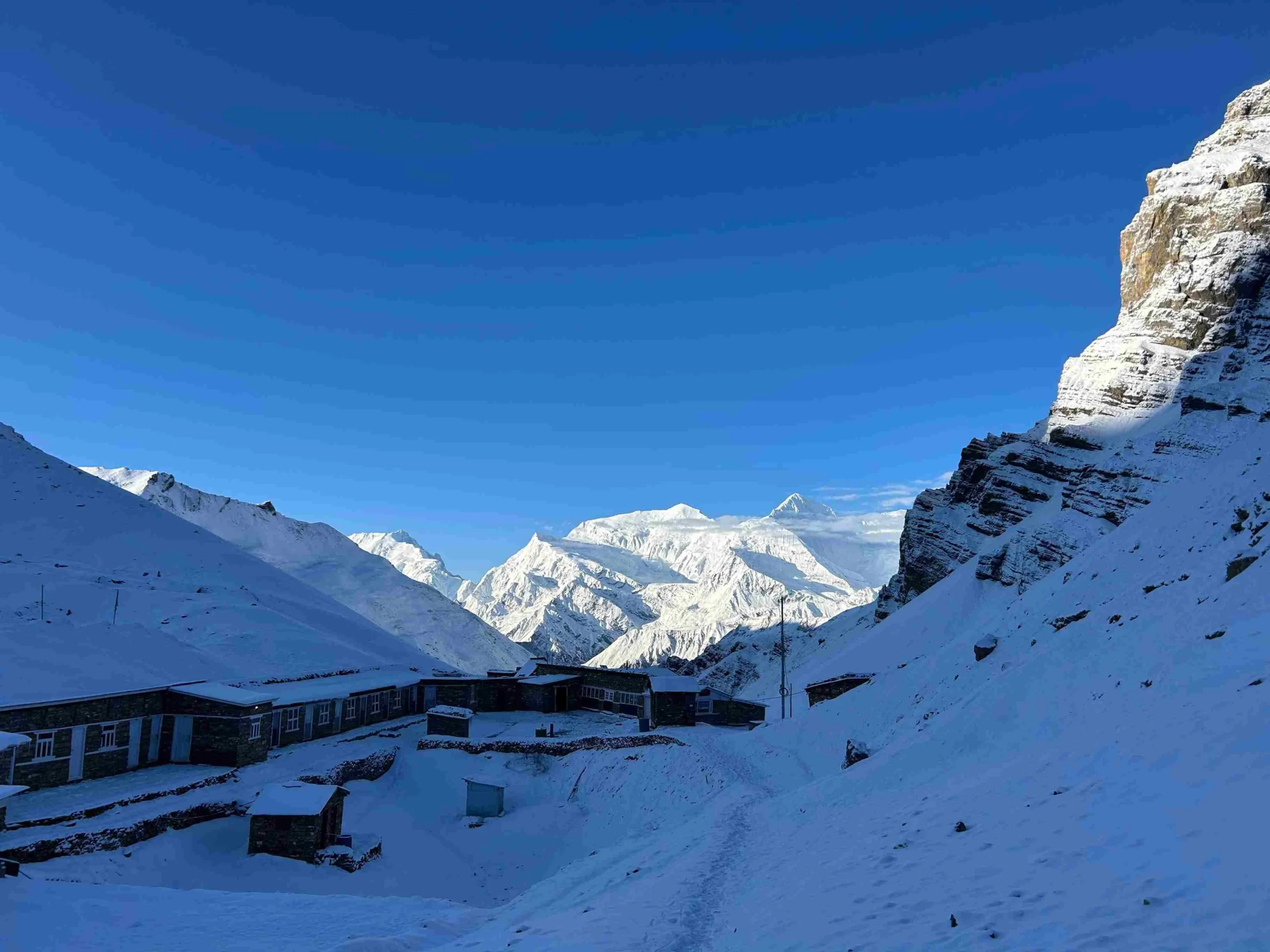
You stay in comfortable hotels in Kathmandu and Pokhara, while local teahouses or guesthouses from Dharapani to Tatopani. During the trekking days, rooms usually have twin beds, blankets, and shared toilets. Facilities become more basic in Ledar and High Camp, while hot showers, charging, and Wi-Fi may cost extra.

Meals along the route include dal bhat, noodles, soup, fried rice, eggs, bread, porridge, and pasta. You also find apple products in Bhratang and Marpha, Tibetan-style food in Manang, and Thakali meals around Muktinath, Jomsom, and Tatopani. However, food choices become limited at higher stops, so carry a few snacks for the trail.

The Annapurna Circuit Trek is challenging because the route reaches 5,416m (17,769ft) and includes several nights above 3,500m (11,483ft). The main difficulties are the altitude gain after Manang, cold nights in Ledar and High Camp, and the long Thorong La crossing. From High Camp, you climb about 491m (1,611ft) to the pass and then descend around 1,656m (5,433ft) to Muktinath, which can put extra pressure on the knees.

The acclimatization day in Manang helps your body adjust, but altitude sickness is still possible. Similarly, snow, strong wind, and poor visibility can also make the higher trail harder. Therefore, trekkers should prepare with long uphill walks, stair climbing, uneven trails, and at least 6 hours of steady movement before the trip.

Packing the right gear is important because the Annapurna Circuit moves from warm lower valleys to the cold, windy Thorong La Pass. Carry light clothing for lower sections, warm layers for higher stops, and keep daily essentials in your daypack. 

Plan Your Annapurna Circuit Trek with Us!

Ready to trek through Dharapani, Pisang, Manang, Thorong La, and Muktinath? Contact Joyful Eco Treks to plan your 15-day Annapurna Circuit Trek with proper acclimatization, local guide support, permits, transport, and clear route planning.

Frequently Asked Question

How difficult is the Annapurna Circuit Trek?

The trek is challenging because it reaches 5,416m (17,769ft) and includes several nights above 3,500m (11,483ft). Trekkers must manage cold weather, long walking days, steep climbs, and the Thorong La crossing.

This itinerary takes 15 to 20 days from arrival in Kathmandu to final departure. The route includes road travel, seven walking days, an acclimatization hike, and rest time after the trek.

The walking section from Dharapani to Muktinath covers approximately 80 to 91 km (49.7 to 56.5 miles). The total distance may change depending on the chosen route and any added side trips.

Thorong La Pass is the highest point at 5,416m (17,769ft). Trekkers cross the pass between High Camp and Muktinath without staying overnight at the top.

Trekkers need an Annapurna Conservation Area Permit and a TIMS card. Joyful Eco Treks arranges the required documents before the trek begins.

No, you cannot trek the Annapurna Circuit without a licensed trekking guide under the current TIMS rules. A guide also assists with altitude checks, accommodation, trail conditions, and the Thorong La crossing. 

Yes, a fit beginner can complete the Annapurna Circuit Trek with proper training, enough acclimatization time, and support from an experienced guide. Previous experience with long walks and uphill trails is helpful.

The route is busiest in April, May, October, and early November. Manang, Thorong Phedi, High Camp, and Muktinath usually receive the most trekkers during these months.

The cost depends on group size, transport, hotel type, guide and porter services, meals, and added activities. Joyful Eco Treks provides the final price based on your selected travel plan.

Yes, Tilicho Lake can be added to the Annapurna Circuit itinerary before continuing toward Ledar and Thorong La. The side trip requires extra days and changes to the acclimatization plan.

The main difference between the Annapurna Circuit and the Annapurna Base Camp Trek is the route, duration, altitude, and overall experience. The Annapurna Circuit is a longer journey around the Annapurna mountain range, crossing varied landscapes and the Thorong La Pass at 5,416m (17,769ft). In contrast, the Annapurna Base Camp Trek follows a shorter out-and-back route into the Annapurna Sanctuary and ends at Annapurna Base Camp at 4,130m (13,550ft).

Ready to Trek the Annapurna Circuit Route?

Share your preferred travel dates, group size, and previous hiking experience with our team. We will help you plan the 15-day route through Dharapani, Manang, Thorong La, Muktinath, Tatopani, and Pokhara.