Makalu Base Camp Trek 17 Days | Itinerary and Map Joyful Eco Treks | Nepal’s Best Trek and Tours Packages

Makalu Base Camp Trek: 17 Days Complete Itinerary and Guide

Makalu, Nepal

17 Days

Trek Region

Makalu

Group Size

2-12 trekkers (Private & Small Group)

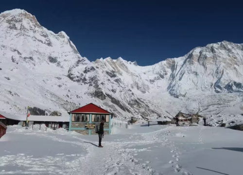
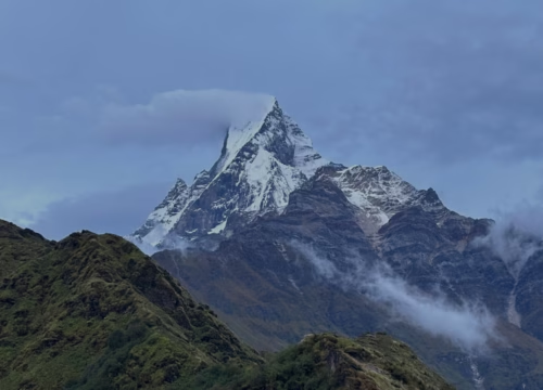
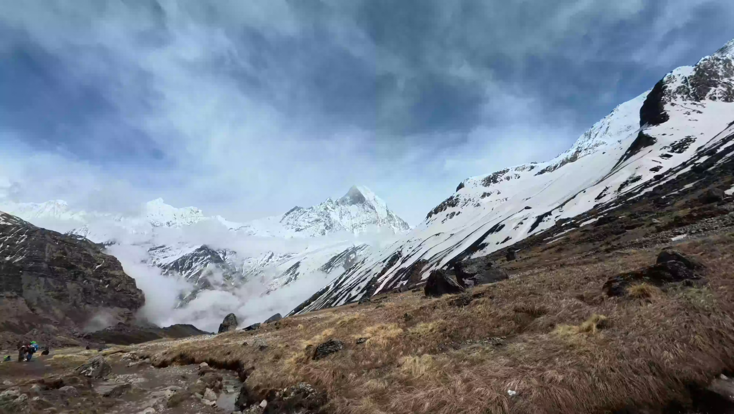
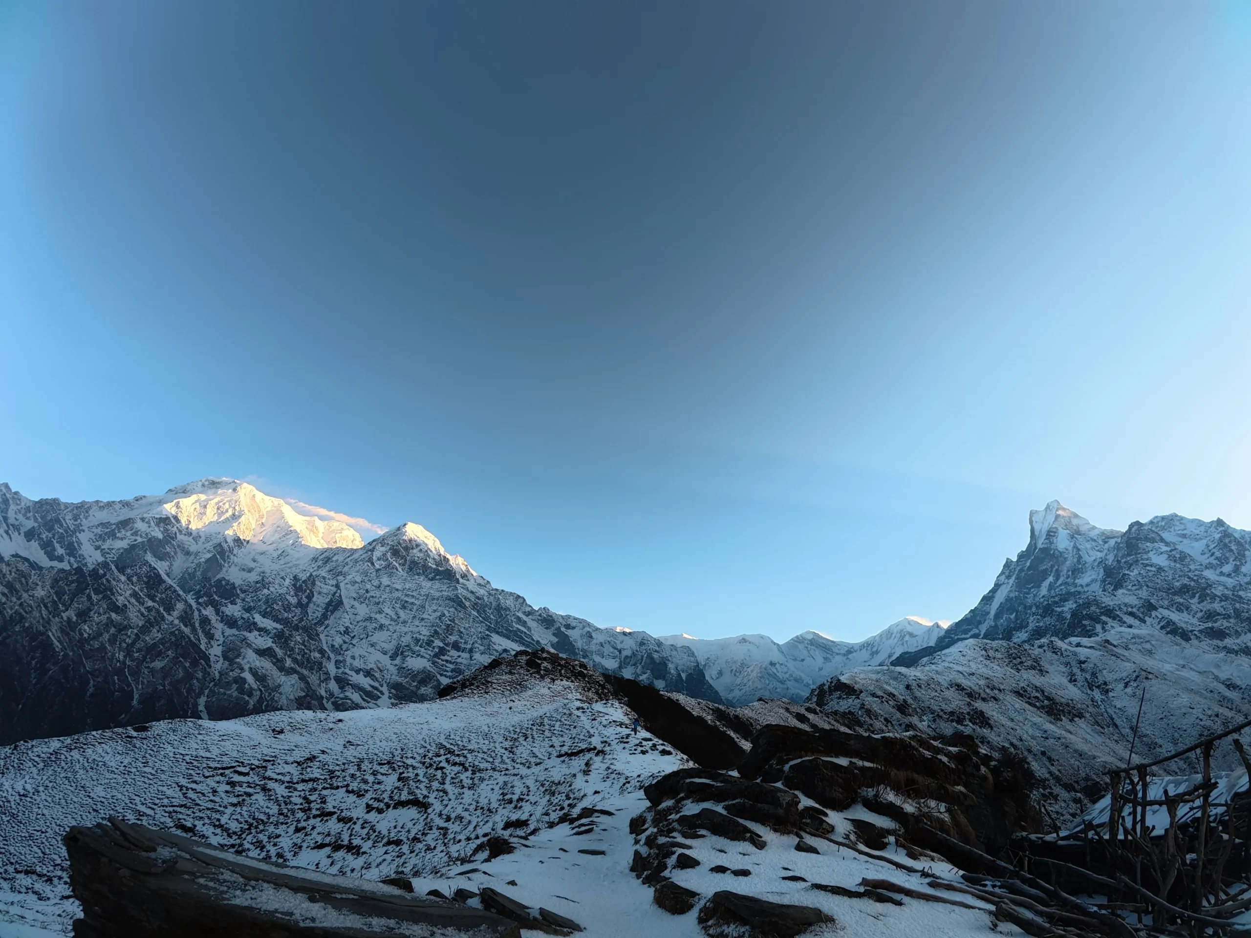
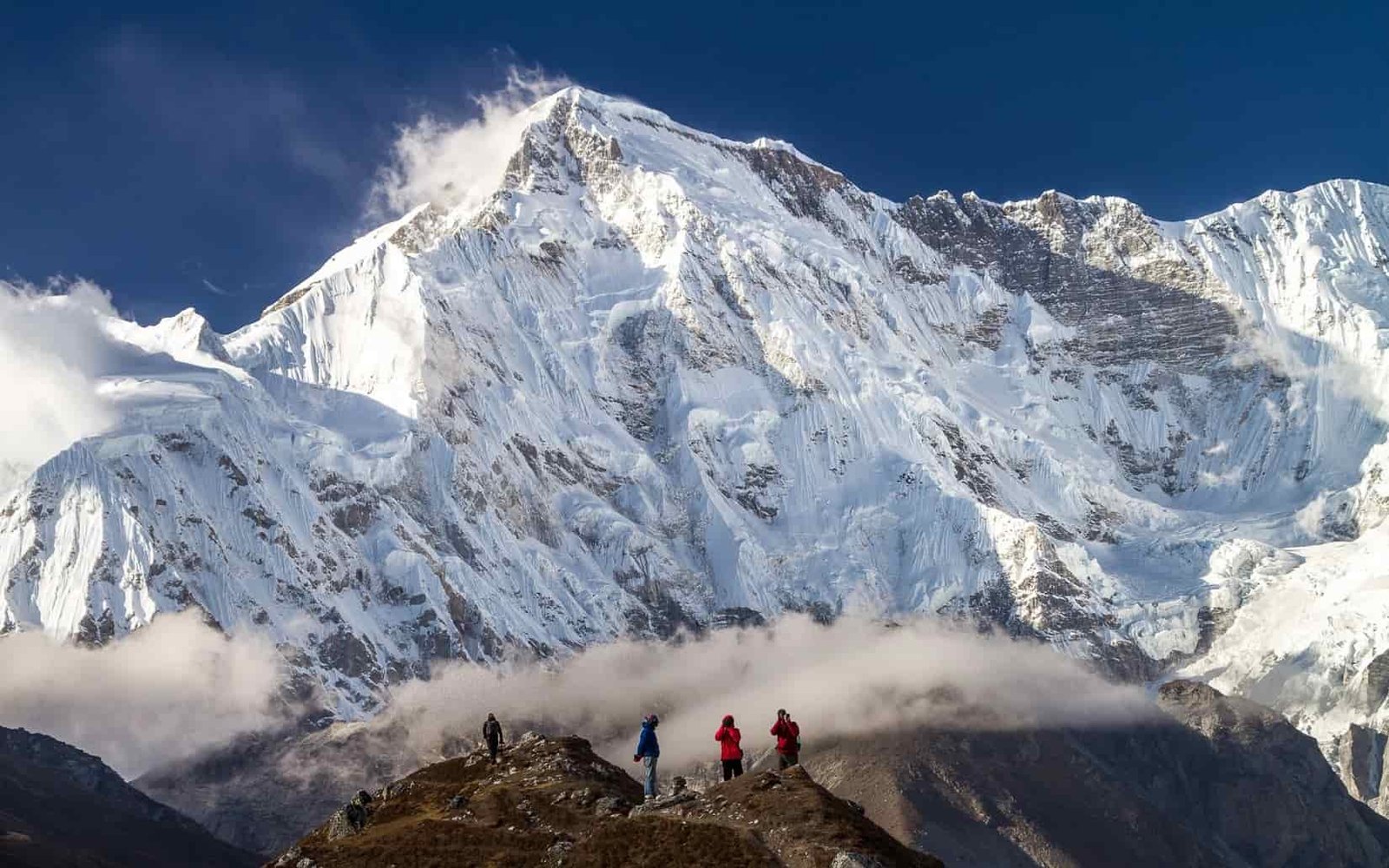
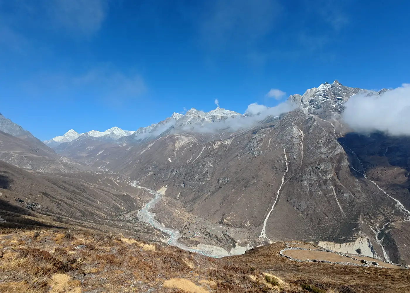
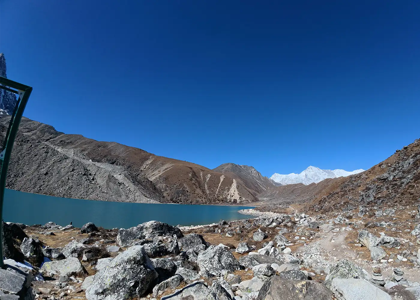
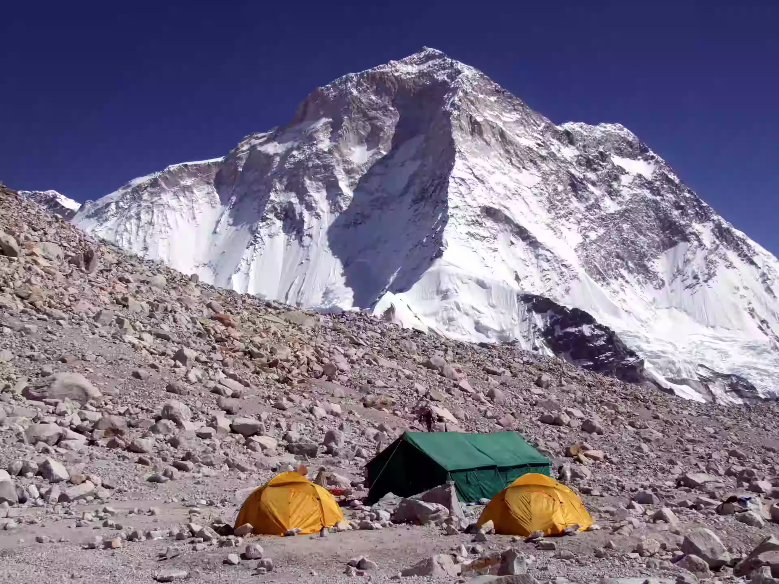
The Makalu Base Camp Trek leads you into one of Nepal’s most remote and untouched Himalayan regions. The trail sits below Mount Makalu (8,485m / 27,838ft), the world’s fifth-highest mountain. This 17-day journey passes through quiet trails, high passes, glacier valleys, dense forests, and traditional mountain settlements inside Makalu Barun National Park.

This trek is best suited for experienced trekkers who want a challenging adventure away from busy trekking routes. Along the trail, you pass through Seduwa, Tashi Gaon, Khongma Danda, Dobate, Yangle Kharka, and Langmale Kharka before finally reaching Makalu Base Camp.

Trip Info 

  • Num, after flying from Kathmandu to Tumlingtar and driving through Khandbari
  • Arun Khola, then drive to Khandbari
  • Approx. 120 to 130 km / 74 to 80 miles, depending on side hikes and road conditions
  • Trekking/Hiking + Scenic Flight + Mountain Drive
  • Challenging
  • March to May and September to November
  • Makalu Base Camp, 4,870m / 15,978ft
  • 4 to 7 hours
  • Makalu Barun National Park Entry Permit, local permit, and current trekking paperwork
  • Hotel in Kathmandu; local lodges and teahouses during the trek
  • Breakfast, lunch, and dinner during the trek
  • Licensed trekking guide and porter support available; 1 porter for 2 trekkers

Why Choose the Makalu Base Camp Trek

The Makalu Base Camp Trek is one of Nepal’s most rewarding remote trekking routes. You travel from Kathmandu to Tumlingtar, then move toward the quieter trails of the Makalu region, where villages, forests, ridges, and alpine valleys shape the journey.

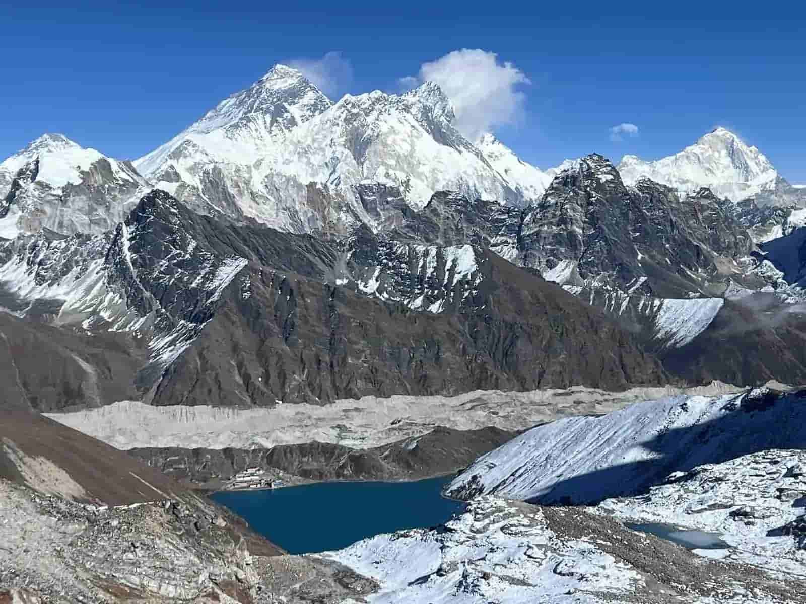
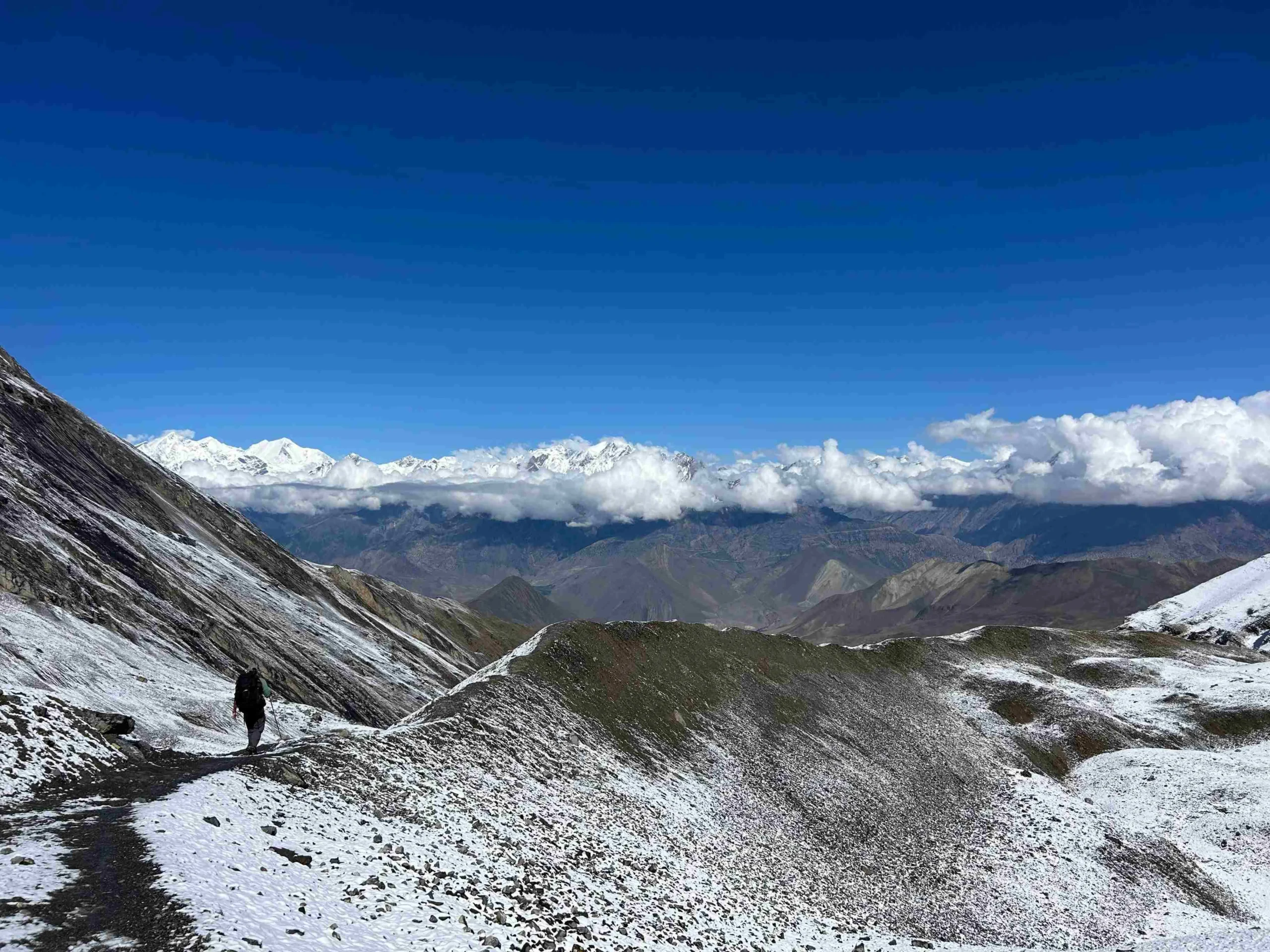
Unlike the more crowded base camp trails, this route feels wild and peaceful. You cross high trail sections around Shipton La and Keke La, then walk through the open Barun Valley. On clear days, the route gives views of Makalu, Chamlang, Baruntse, Peak 6, Peak 7, Everest, and Lhotse before reaching the rocky alpine landscapes below Mount Makalu.

Trek Highlights 

  • Reach Makalu Base Camp at around 4,870m / 15,978ft below Mount Makalu.
  • Walk through Makalu Barun National Park, a remote protected area in eastern Nepal.
  • Follow the classic route through Tumlingtar, Khandbari, Num, Seduwa, Tashi Gaun, Khongma Danda, Dobate, Yangle Kharka, Langmale Kharka, and the Barun Valley.
  • Cross high trail sections around Khongma Danda, Shipton La, Keke La, and nearby ridge passes.
  • See the route change from warm Arun Valley farmland to rhododendron forests, rocky passes, alpine meadows, and glacial terrain.
  • Experience Rai and Sherpa village life around Seduwa, Tashi Gaun, and the lower Makalu region.
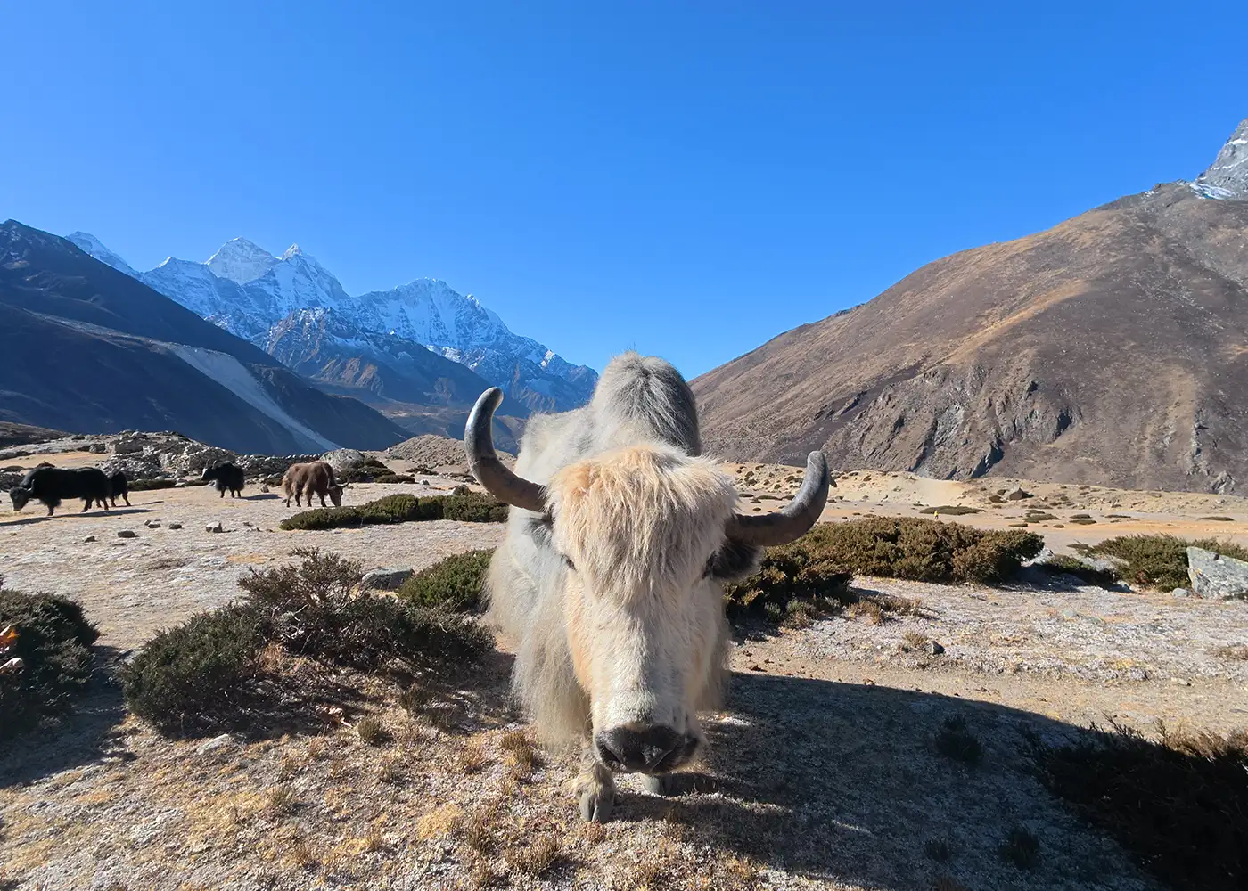
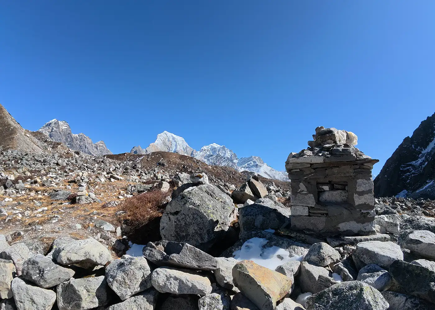
  • Walk past cardamom fields, mani walls, basic tea shops, yak-grazing areas, and glacier-fed river sections.
  • Enjoy clear-day views of Makalu, Chamlang, Baruntse, Peak 6, Peak 7, and nearby Himalayan ranges.
  • Experience one of Nepal’s toughest and most rewarding base camp treks.

Tour Plan

You arrive at Tribhuvan International Airport in Kathmandu, where our team welcomes you and transfers you to your hotel by private vehicle. After check-in, you can rest from your flight or take a short walk around Thamel.

Later, you meet your guide for a short trek briefing. The guide explains the Makalu Base Camp Trek route, domestic flight plan, road travel, permits, accommodation, packing details, meals, and high-altitude safety.

  • Drive duration: 25 to 30 minutes

  • Drive distance: 5 to 7 km / 3.1 to 4.3 miles

Note: Check your hiking boots, thermal layers, sleeping bag, headlamp, and other trekking gear before leaving Kathmandu.
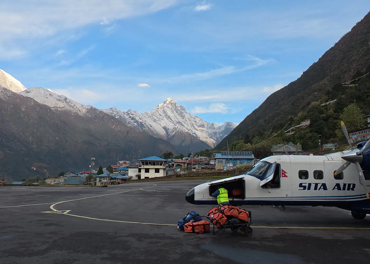
You take a morning flight from Kathmandu to Tumlingtar, the main air gateway for the Makalu region. The flight brings you into the Arun Valley, a warm eastern Nepal valley between the Arun and Sabha rivers.

After landing, you drive through Khandbari and continue toward Num by private jeep. The road passes hill villages, forested ridges, farms, and rough mountain sections before reaching Num, the starting point of the walking route.

  • Flight duration: 35 to 40 minutes

  • Drive distance: 5 to 6 hours

  • Drive distance: Approx. 45 to 55 km / 28 to 34 miles, depending on road conditions

  • Maximum altitude: Num, 1,560m / 5,118ft

  • Elevation gain: +1,159m / +3,802ft

Note: Keep water, snacks, a light jacket, and dust protection in your day bag because the road after Khandbari is rough in sections.

The first walking day starts with a steep descent toward the Arun River. Stone steps, warm hillside farms, cardamom fields, and forest patches shape the trail below Num. After crossing the suspension bridge over the Arun River, the route climbs hard toward Seduwa.

Seduwa is the park-entry area for the Makalu trail. The village has hillside homes, small shops, lodges, and farms, which give the first real taste of eastern Nepal’s hillside life.

  • Trek duration: 5 to 6 hours

  • Trek distance: Approx. 8 km / 5 miles

  • Maximum altitude: Num, 1,560m / 5,118ft

  • Sleeping altitude: Seduwa, approx. 1,500m / 4,921ft

  • Elevation gain/loss: Approx. -800m / -2,625ft, then +800m / +2,625ft

Note: This day has a hard descent and a long climb, so protect your knees and walk at a steady pace from the start.

You leave Seduwa and follow a quieter village trail through terraced farms, bamboo, cardamom fields, small streams, and forest sections. You get to listen to bird calls as you pass the forest, especially around the bamboo and rhododendron sections. As the route rises, mani walls and Sherpa-influenced settlements begin to appear. 

Tashi Gaun is the last major village before the high and remote section begins. The village sits on a hillside and gives you a good place to rest before the steep climb toward Khongma.

  • Trek duration: 4 to 5 hours

  • Trek distance: 8 to 9 km / 5 to 5.6 miles

  • Maximum altitude: Tashi Gaun, approx. 2,100m / 6,890ft

  • Elevation gain: Approx. +600m / +1,969ft

Note: Charge your devices and prepare warm layers here because facilities become simpler after Tashi Gaun.

This is one of the steepest climbing days of the Makalu Base Camp Trek. The route rises sharply from Tashi Gaun through stone steps, log bridges, bamboo, oak, and rhododendron forest. After several hours, the trail reaches Dhara Kharka. From there, the path continues upward through forest, prayer flags, and colder ridge terrain.

Khongma sits on a high ridge, and the air feels colder here than in Tashigaon. Clear weather gives you strong views across the surrounding hills and high mountain terrain.

  • Trek duration: 6 to 7 hours

  • Trek distance: Approx. 7 to 8 km / 4.3 to 5 miles

  • Maximum altitude: Khongma, 3,560m / 11,680ft

  • Elevation gain: +1,460m / +4,790ft

Note: This day has major altitude gain. Walk slowly, drink enough water, and tell your guide immediately if you feel a headache, nausea, dizziness, or unusual tiredness.

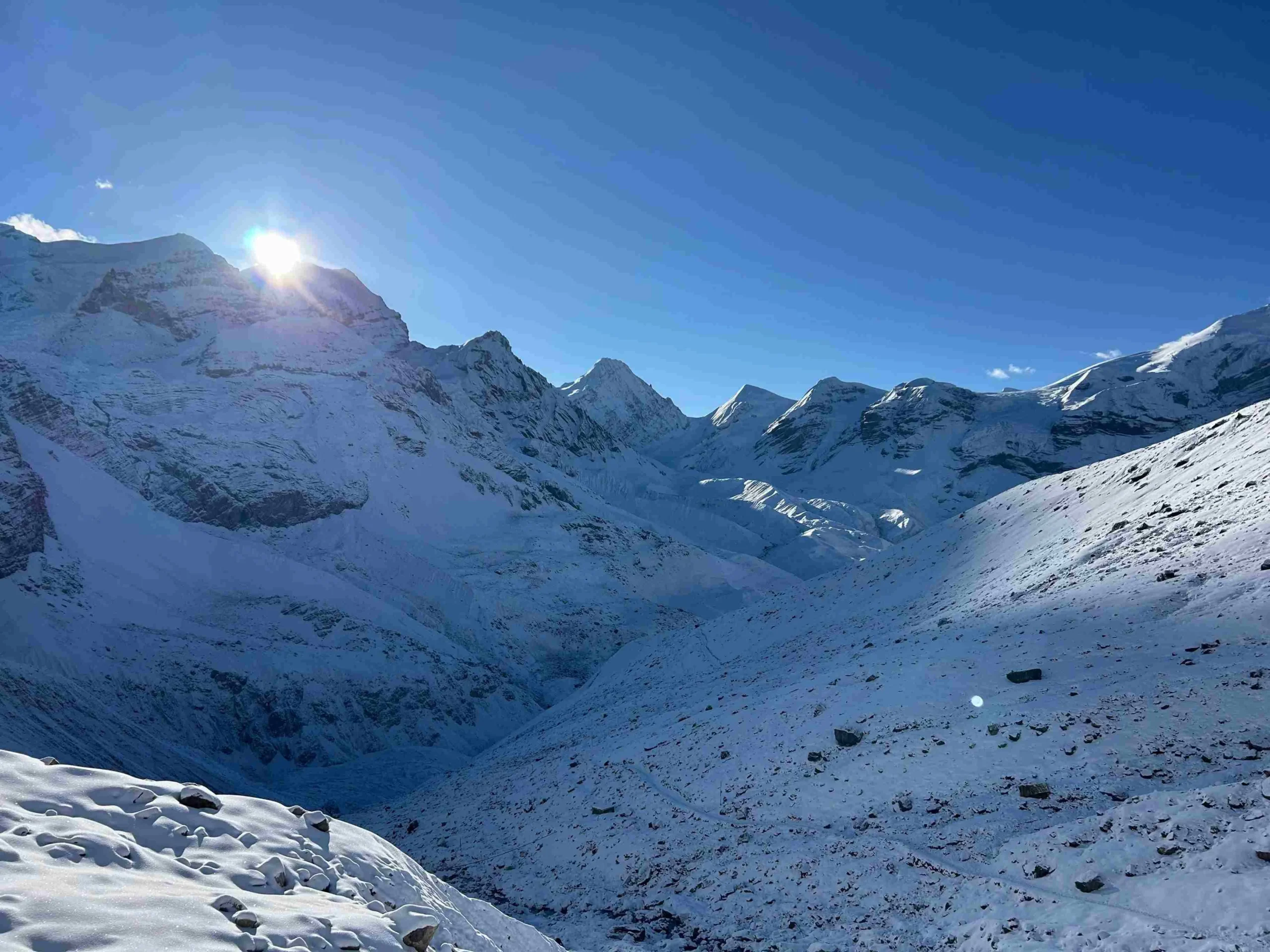
You leave Khongma and cross one of the most adventurous trail sections of the journey. The route climbs toward Khongma La, passes Sano Pokhari Danda, crosses Shipton La, descends near Kalo Pokhari, and continues over Keke La.

This section brings prayer flags, high ridges, small lakes, stone cairns, and wide mountain views on clear days. After Keke La, the route drops toward Dobate through colder and rougher terrain.

  • Trek duration: 6 to 8 hours

  • Trek distance: Approx. 8 to 9 km / 5 to 5.6 miles

  • Maximum altitude: Shipton La area, 4,200m / 13,780ft

  • Slepping altitude: Dobate, 3,650m / 11,975ft

  • Elevation gain: Approx. +850m / +2,789ft, then -600m / -1,969ft

Note: Carry warm layers, gloves, water, and snacks because refreshment stops are limited on the pass section.

The day begins with a descent from Dobate through rhododendron and pine forest. Lower down, the path reaches the Barun River valley and passes a landslide-prone section. The trail then continues past Themathang Kharka, where an impressive waterfall marks one of the day’s scenic points.

After crossing the Barun River area, the valley opens toward Yangle Kharka. The place feels remote and windy, with open meadows, a small monastery area, and snowy mountain views in the background.

  • Trek duration: 5 to 6 hours

  • Trek distance: Approx. 9 to 10 km / 5.6 to 6.2 miles

  • Maximum distance: Dobate, 3,650m / 11,975ft

  • Sleeping distance: Yangle Kharka, 3,557m / 11,670f

  • Elevation gain/loss: +430m / +1,411ft, then -600m / -1,969ft

Note: Use trekking poles on the forest descent and landslide sections.

The trail now moves deeper into the upper Barun Valley, leaving Yangle Kharka and climbing toward Langmale Kharka. The walk passes grazing meadows, prayer flags, juniper bushes, rocky cliffs, and seasonal yak pasture areas around Nghe Kharka, Ripuk Kharka, Jhak Kharka, and Merek.

As the valley opens higher, the scenery becomes colder, wider, and more dramatic. Peak 6, Peak 7, and the surrounding ridges begin to dominate the skyline, while Langmale Kharka gives you a quiet overnight stop close to the high Makalu Base Camp route.

  • Trek duration: 5 to 6 hours

  • Trek distance: 10 to 11 km / 6.2 to 6.8 miles

  • Maximum altitude: Langmale Kharka, approx. 4,410m / 14,469ft

  • Elevation gain: Approx. +853m / +2,799ft

Note: This is another major altitude-gain day, so walk slowly and avoid rushing near Langmale Kharka.

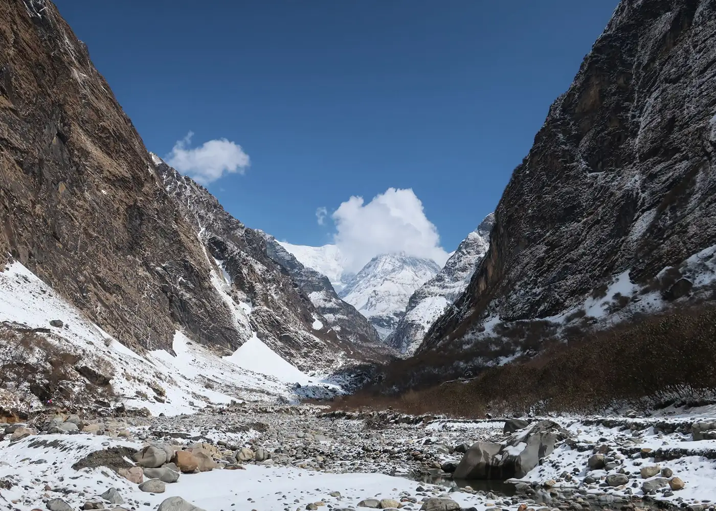
The morning begins in a cold alpine setting, where the trail leaves Langmale Kharka and moves across the upper Barun Valley. The landscape turns wider and rougher, with open pastures, glacial streams, sandy sections, and moraine paths leading toward Shershong.

Beyond Shershong, the south face of Makalu starts to feel closer with every step. Peak 6, Peak 7, rocky ridges, and glacier-shaped terrain surround the final approach.

  • Trek duration: 5 to 6 hours

  • Trek distance: 8 to 9 km / 5 to 5.6 miles

  • Maximum altitude: Makalu Base Camp, 4,870m / 15,978ft

  • Elevation gain: +460m / +1,509ft

Note: The altitude makes the walk slow and demanding. Keep warm layers, water, and snacks close.

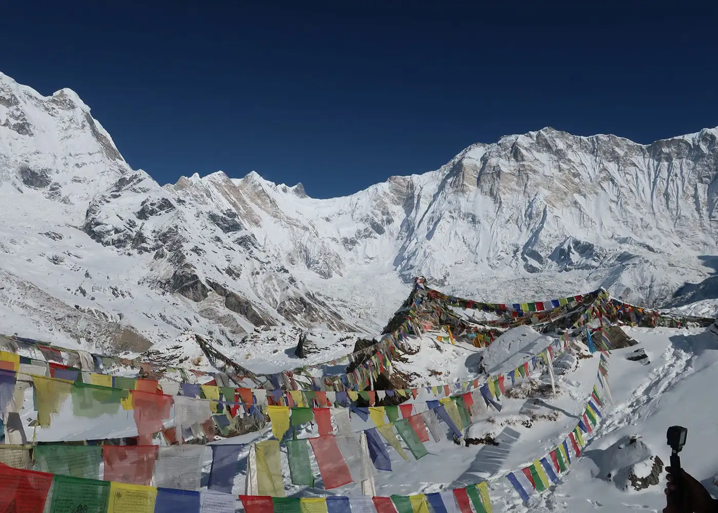
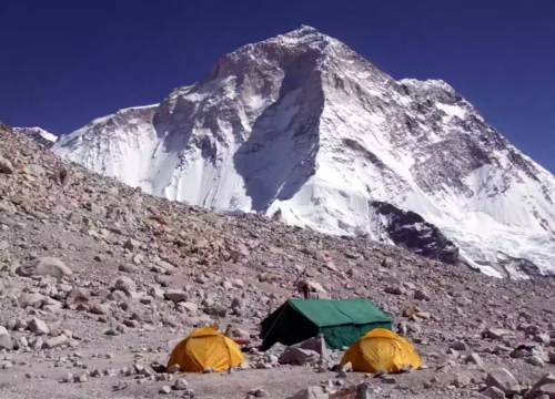
You spend this day around Makalu Base Camp to enjoy the highest and most scenic part of the trek. The morning view opens across the Barun Glacier area, rocky moraine, Peak 6, Peak 7, and the huge south face of Makalu.
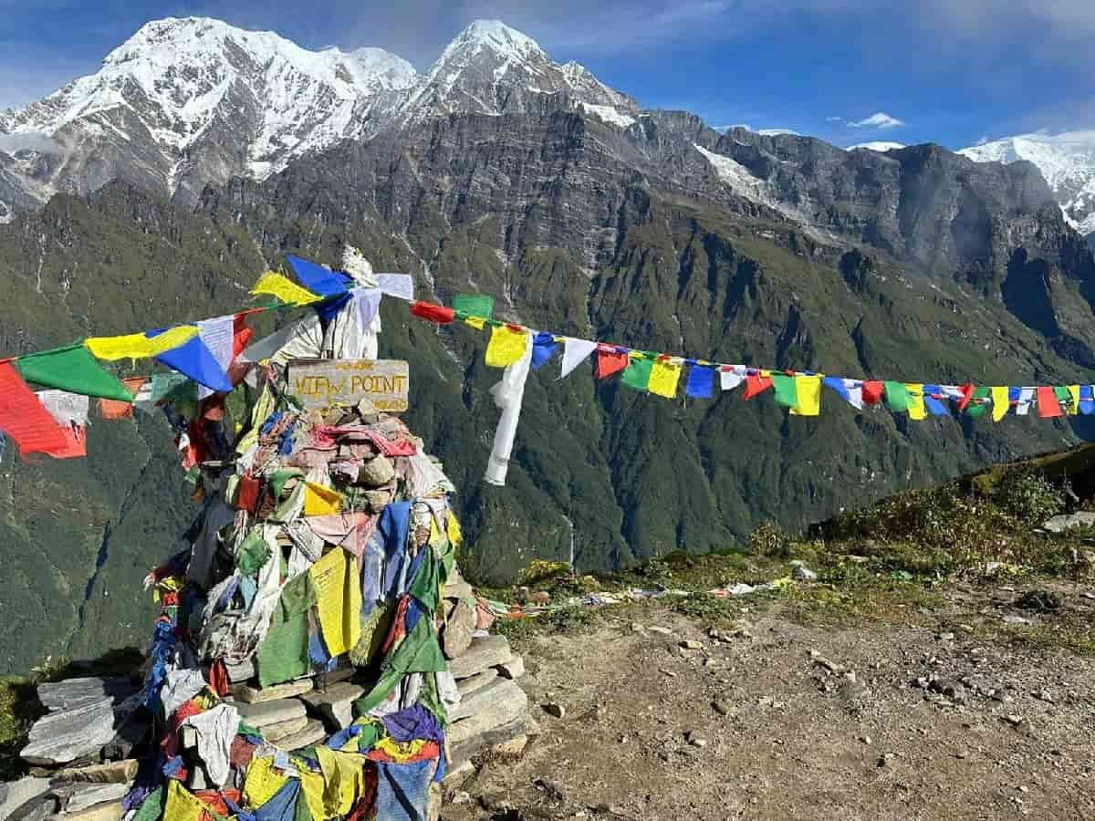
After breakfast, your guide leads a gradual hike toward the viewpoint above base camp when weather and trail conditions are safe. From the ridge area, the panorama stretches toward Makalu, Everest, Lhotse, Nuptse, Baruntse, and the surrounding glacier valley.

  • Walking duration: 3 to 5 hours, depending on the exploration route

  • Walking distance: 4 to 8 km / 2.5 to 5 miles

  • Maximum altitude: Approx. 5,250m to 5,300m / 17,225ft to 17,388ft, depending on viewpoint route

  • Elevation gain/loss: +380m to +430m / +1,247ft to +1,411ft, then return to base camp

Note: Start early for clearer views, walk slowly, and return to base camp if wind, snow, or altitude symptoms increase.

The return walk starts with a last look at the wide Makalu Base Camp valley. Makalu, rocky moraine, and the upper Barun Valley stay behind you as the trail drops toward Shershong and Langmale Kharka.

As you continue down, the harsh alpine setting slowly becomes softer. The route passes Merek and open grazing areas before reaching Yangle Kharka, where the lower altitude, river sounds, and meadow views make the evening feel more comfortable.

  • Trek duration: 6 to 7 hours

  • Trek distance: 15 to 16 km / 9.3 to 10 miles

  • Maximum altitude: Makalu Base Camp, 4,870m / 15,978ft

  • Sleeping altitude: Yangle Kharka, 3,557m / 11,670ft

  • Elevation loss: -1,313m / -4,308ft

Note: The trail descends for many hours, so use trekking poles and keep a steady pace to protect your knees.

After a night in the peaceful Barun Valley, the return trail takes you back toward the greener and more rugged side of the route. The trek begins with river scenery, open grazing land, and mountain slopes before the path gradually enters forested sections again.

Further along, the walk climbs toward Dobate through quieter terrain with fewer teahouse stops. The day is not as high as base camp, but the trail still takes steady effort because of the uphill sections, rocky ground, and changing forest paths.

  • Trek duration: 6 to 7 hours

  • Trek distance: Approx. 9 to 10 km / 5.6 to 6.2 miles

  • Maximum altitude: Dobate, approx. 3,650m / 11,975ft

  • Elevation gain/loss: Approx. +640m / +2,100ft, then -410m / -1,345ft

Note: Carry enough water and snacks because teahouse stops are limited between Yangle Kharka and Dobate.

You begin early from Dobate and cross the high trail back toward Khongma. The route climbs again toward Keke La, Kalo Pokhari, Shipton La, Sano Pokhari Danda, and Khongma La before descending toward Khongma.

After Khongma, the trail drops steeply through rhododendron forest, stone steps, and hillside paths to Tashi Gaun. By the time you reach Tashi Gaun, the air feels warmer, the trail feels greener, and village life slowly returns around you.

  • Trek duration: 7 to 8 hours

  • Trek distance: Approx. 15 to 17 km / 9.3 to 10.6 miles

  • Maximum altitude: Shipton La/Keke La area, 4,125m to 4,200m / 13,533ft to 13,780ft

  • Sleeping altitude: Tashi Gaun, approx. 2,100m / 6,890ft

  • Elevation gain/loss: +500m to +650m / +1,640ft to +2,133ft, then -2,100m to -2,200m / -6,890ft to -7,218ft

Note: This is one of the longest return days with both high-pass walking and a steep descent. Start early and keep warm clothes ready for the pass section.

The high mountain scenery now gives way to forested hills and village trails. From Tashi Gaun, the path descends through rhododendron edges, bamboo patches, terraced farms, and quiet sections of the lower Makalu route.

As Seduwa gets closer, the landscape feels more lived-in again. Small houses, fields, local footpaths, and simple lodges replace the cold ridges, giving the day a gentle and familiar finish.

  • Trek duration: 4 to 5 hours

  • Trek distance: 8 to 9 km / 5 to 5.6 miles

  • Maximum altitude: Tashi Gaun, 2,100m / 6,890ft

  • Sleeping altitude: Seduwa, approx. 1,500m / 4,921ft

  • Elevation loss: -600m / -1,969ft

Note: Keep your pace relaxed and protect your knees on the stone and forest sections.

The route drops from Seduwa through the lower Makalu hills, where farms, forest edges, and warm village trails replace the remote mountain scenery. Cardamom fields, terraced slopes, and small homes give this final walk a calm local feel.

After reaching Arun Khola, the walking route ends and the road journey begins. The drive to Khandbari follows a rough hill road through rural settlements and market areas, slowly bringing the trek back into town life.

  • Trek duration: 2 to 3 hours

  • Trek distance: 5 to 6 km / 3.1 to 3.7 miles

  • Drive duration: 3 to 4 hours, depending on road conditions

  • Drive distance: 35 to 40 km / 22 to 25 miles

  • Maximum altitude: Seduwa, approx. 1,500m / 4,921ft

  • Sleeping altitude: Khandbari, approx. 1,036m / 3,399ft

  • Elevation loss: -700m to -800m / -2,297ft to -2,625ft

Note: Keep water, snacks, dust protection, and important documents in your day bag.

The day begins with a short drive from Khandbari to Tumlingtar Airport. This final road section passes the lower Arun Valley, small market areas, and warm eastern hill scenery before you reach the airport.

After the flight, Kathmandu welcomes you back with hotel comfort, warm showers, and time to rest after the trek. Later in the evening, we host a farewell dinner to celebrate the completion of your Makalu Base Camp Trek and share the final moments of the trip together.

  • Drive distance: 30 to 45 minutes

  • Drive distance: 10 to 15 km / 6 to 9 miles

  • Flight duration: 35 to 40 minutes

  • Maximum altitude: Kathmandu, approx. 1,395m / 4,577ft

  • Elevation gain: Approx. +359m / +1,178ft from Khandbari to Kathmandu

Note: Mountain flights depend on weather, so keep extra time before your international departure.

Your Makalu Base Camp Trek ends with a private transfer from your hotel to Tribhuvan International Airport. The final morning gives you time to pack, check your documents, and prepare for your international flight.

You leave Nepal with memories of the Arun Valley, Tashi Gaun, Shipton La, the Barun Valley, and the quiet mountain world below Makalu. Our team makes sure your airport transfer is smooth and on time.

  • Trip duration: 25 to 30 minutes, private vehicle ride from the hotel to the airport

  • Drive distance: 5 to 7 km / 3.1 to 4.3 miles

  • Maximum altitude: Kathmandu, approx. 1,395m / 4,577ft

Note: Reach the airport at least 3 hours before your international flight

Cost Includes

Cost Excludes

Trekking Feasibility
Calculating...
Projections represent historical trends and general seasonal elevation conditions.
Route Stop & Elevation
Daytime (Sunny)
Nighttime (Cold)

Note: These temperatures represent common planning ranges for peak trekking seasons. High-altitude weather changes quickly, and wind makes the base camp area feel colder.

The best time for the Makalu Base Camp Trek is spring and autumn. Spring runs from March to May, while autumn runs from September to November. These months give the most reliable weather, clearer mountain views, and better walking conditions on the high trail sections.

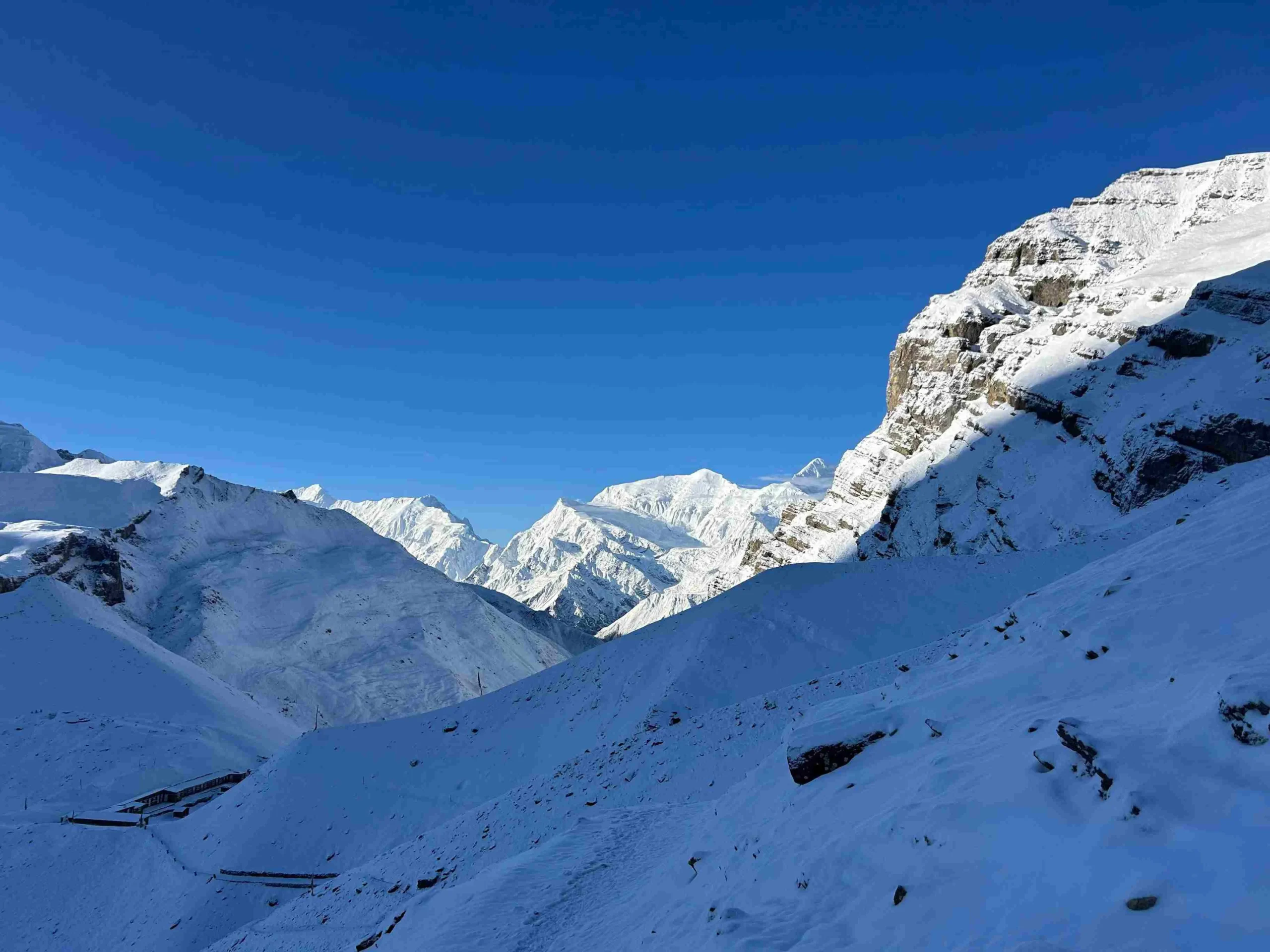
Winter is much colder on the high route. Snow, icy trails, and freezing nights make the pass sections and the base camp area more difficult. Similarly, monsoon brings rain, clouds, slippery trails, leeches in lower forests, and higher chances of flight or road delays.

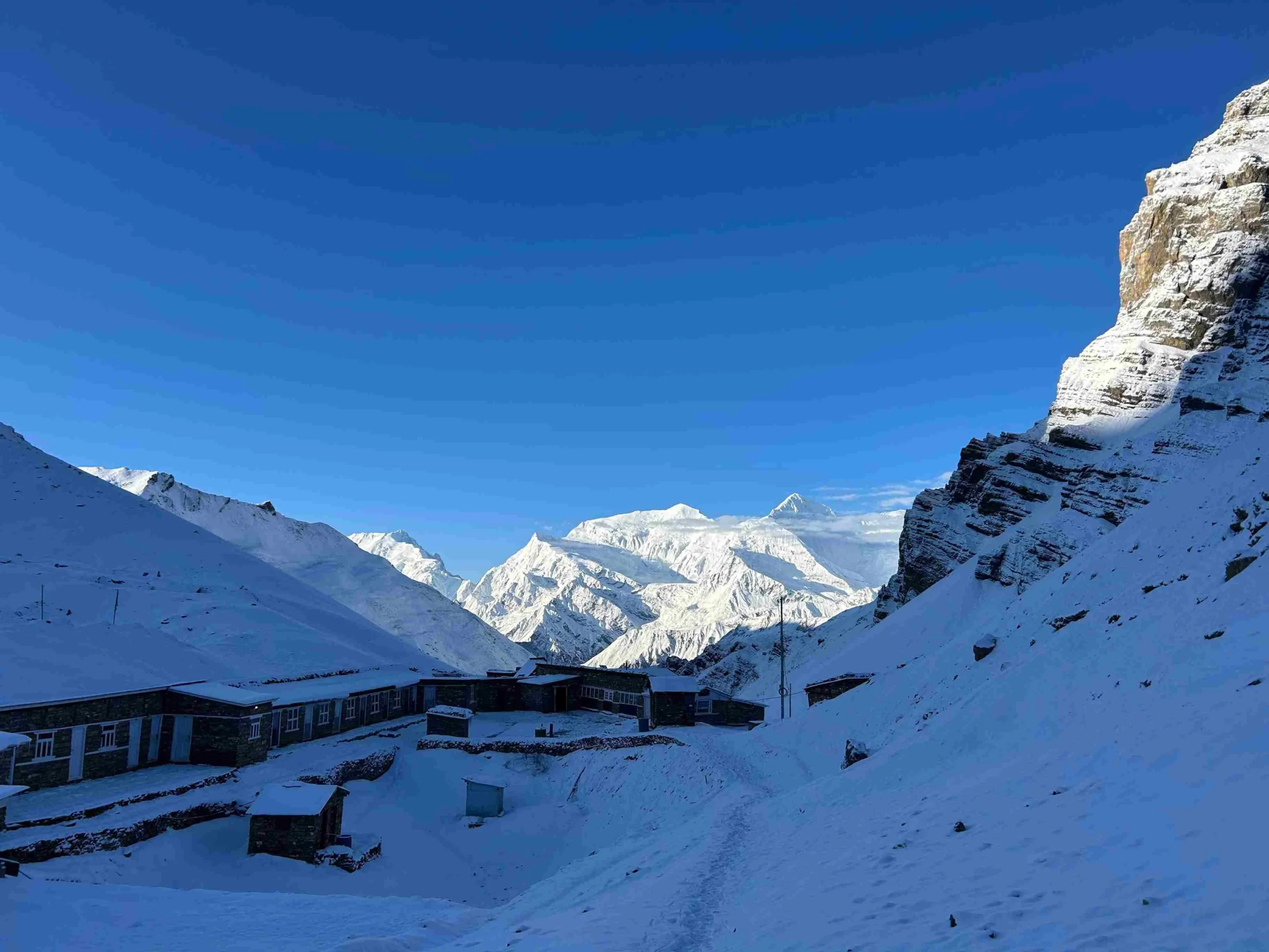
Accommodation on the Makalu Base Camp Trek is simple and local. You stay in basic teahouses and lodges along the main route, with hotel accommodation in Kathmandu before and after the trek.

Meals on the Makalu Base Camp Trek are simple, warm, and filling, with common options like dal bhat, noodles, soup, potatoes, eggs, Tibetan bread, pancakes, tea, and coffee. The lower villages around Seduwa and Tashi Gaun usually offer more local food and fresh farm produce. Meanwhile, higher stops such as Dobate, Yangle Kharka, Langmale Kharka, and Makalu Base Camp have fewer choices because supplies must be carried deep into the Barun Valley.

Carry energy bars, nuts, chocolate, and electrolyte powder. These snacks help during long days around Shipton La, the upper Barun Valley, and the return from Makalu Base Camp to Yangle Kharka.

The Makalu Base Camp Trek is challenging. The route demands strong fitness, previous hiking experience, and the ability to walk for several days on remote mountain trails.

The main challenges are steep climbs, long descents, high passes, basic lodges, changing weather, and altitude above 4,800m / 15,700ft. The climb from Tashi Gaun to Khongma, the pass section from Khongma to Dobate, and the upper Barun Valley are the hardest parts of the trek.

This 17-day itinerary has a compact schedule, so proper pacing matters from the first trekking day. The route suits trekkers who want a quiet and rugged Himalayan journey away from crowded trails.

The Makalu Base Camp Trek takes you through warm river valleys, wet forest trails, cold high ridges, windy passes, and alpine terrain. Pack light, but carry enough warm clothing and reliable gear for changing weather.

Plan Your Makalu Base Camp Trek with Us

Ready to walk into one of Nepal’s quietest high-Himalayan valleys? Get in touch with Joyful Eco Treks to plan your 17-day Makalu Base Camp Trek with proper permits, licensed guide support, porter service, private transport, safe pacing, meals, accommodation, and clear cost details.

Frequently Asked Question

Where is the Makalu Base Camp Trek?

The Makalu Base Camp Trek is in eastern Nepal, inside the Makalu Barun National Park area of Sankhuwasabha District. The trek starts with a flight from Kathmandu to Tumlingtar and a drive toward Num. From there, the walking route passes Seduwa, Tashi Gaun, Khongma, Dobate, Yangle Kharka, Langmale Kharka, and Makalu Base Camp.

The Makalu Base Camp Trek cost depends on group size, hotel category, domestic flight price, private transport, guide and porter service, permit fees, meals, and included services. A private trek costs more than a group trek because fewer people share the guide, porter, transport, and logistics. For the most accurate Makalu Base Camp Trek cost, share your travel date, group size, and service preference with the travel company.

You need the Makalu Barun National Park Entry Permit for the Makalu Base Camp Trek. A local permit also applies based on the route and local government rules at the time of travel. Most of the travel agencies check the current permit requirements before departure and arrange the required paperwork for guided trips.

The Makalu Base Camp Trek is a challenging trek because the route includes steep climbs, long descents, high passes, remote trails, and basic lodges. The hardest sections are the climb from Tashi Gaun to Khongma, the pass route around Shipton La and Keke La, and the high-altitude walk toward Langmale Kharka and Makalu Base Camp.

The highest sleeping point is Makalu Base Camp at approx. 4,870m / 15,978ft. The optional exploration walk above base camp reaches approx. 5,250m to 5,300m / 17,225ft to 17,388ft, depending on the viewpoint route and weather.

You need around 17 to 22 days for the Makalu Base Camp Trek, depending on route, walking pace, acclimatization plan, road access, and flight schedule. A longer itinerary gives more buffer time and a slower acclimatization pace, whereas a 17-day route is best for fit trekkers with previous hiking experience.

The Makalu Base Camp Trek is often harder than Manaslu in terms of remoteness, trail roughness, lodge comfort, and daily effort. The Manaslu Circuit reaches a higher pass at Larkya La, but the Makalu route feels wilder and has fewer services. Trekkers who want better lodge infrastructure often choose Manaslu, while trekkers who want a quieter wilderness route choose Makalu.

No, the Makalu Base Camp Trek is not a good first Himalayan trek for beginners. The route is remote, steep, long, and physically demanding, with basic lodges and high-altitude sections near Langmale Kharka and Makalu Base Camp. Start with easier treks such as Langtang Valley, Mardi Himal, or Annapurna Base Camp before aiming for the Makalu Base Camp Trek.

No, you cannot legally or safely trek to Makalu Base Camp as an independent solo trek. You can join as a solo guest, but you should trek with a licensed local guide arranged through a registered trekking agency.

The total walking distance of the Makalu Base Camp Trek is usually around 120 to 130 km / 74 to 80 miles, depending on the exact road access point, side hikes, and base camp exploration route. Shorter or longer itineraries show different distances because some routes begin walking earlier, add rest days, or include extra viewpoint hikes.

Yes, basic teahouses and lodges are available on the main Makalu Base Camp route. However, the facilities are simpler than those on the Annapurna and Everest routes. Rooms usually have basic beds and shared toilets. Hot showers, Wi-Fi, charging, and extra drinks cost extra or are unavailable in higher places.

Yes, travel insurance is strongly needed for the Makalu Base Camp Trek. Your policy should cover high-altitude trekking and emergency helicopter evacuation.

Ready to Trek to Makalu Base Camp?

Share your travel dates, group size, fitness level, and trekking experience, and our local team will help you plan the best 17-day Makalu Base Camp Trek with safe pacing, proper permits, licensed guide support, porter service, private transport, meals, accommodation, and clear cost details.