Manaslu Tsum Valley Trek: 20 Days Complete Itinerary and Guide

Manaslu Region, Gorkha District, Gandaki Province, Nepal

20 Days

Trek Region

Manaslu Conservation Area and Tsum Valley

Group Size

1-12 trekkers (Private & Small Group)

The Manaslu Tsum Valley Trek is a long Himalayan journey that combines the cultural trails of Tsum Valley with the high mountain route of the Manaslu Circuit. The route takes you through Machha Khola, Jagat, Lokpa, Chumling, Chhokang Paro(Chhekampar), Nile, Mu Gompa, Deng, Namrung, Shyala, Sama Gaun, Samdo, Dharamsala(Larkya Phedi), crosses Larke La Pass(Larkya La Pass), and continues to Bimthang and Dharapani.

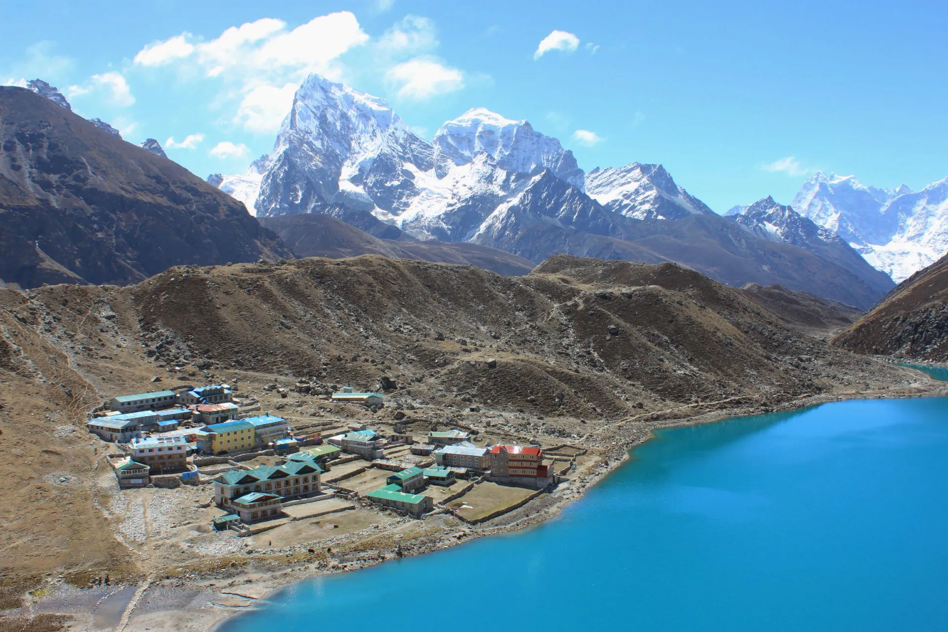
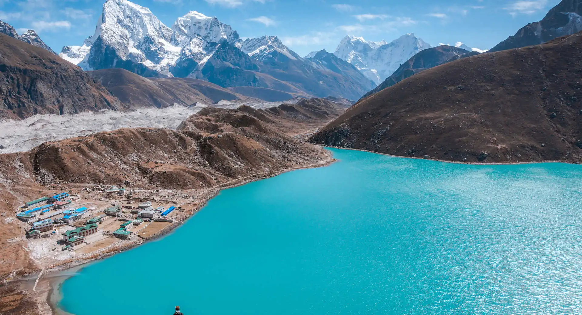
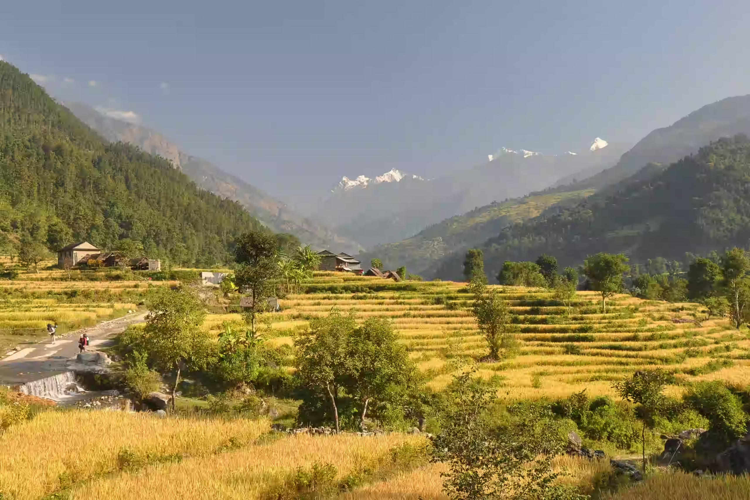
This trek is ideal for travelers who want a quieter route than Everest Base Camp or Annapurna Base Camp. Along the way, you walk through river valleys, pine forests, stone villages, Buddhist monasteries, mani walls, yak pastures, and high ridges near the Tibetan border.

Trip Info 

  • Machha Khola, after driving from Kathmandu
  • Dharapani, then drive back to Kathmandu through Besisahar
  • Approx. 180 to 210 km / 112 to 130 miles, depending on side hikes and road access
  • Trekking, hiking, cultural tour, and scenic drive
  • Challenging
  • March to May and September to November
  • Larkya La Pass, 5,106m / 16,752ft
  • 4 to 9 hours
  • Manaslu Restricted Area Permit, Tsum Valley Restricted Area Permit, MCAP Permit, and ACAP Permit
  • Hotel in Kathmandu and teahouses during the trek
  • Breakfast, lunch, and dinner during the trek

Why Choose the Manaslu Circuit Trek with Tsum Valley

If you are looking for a quieter Himalayan trek away from the busy Everest and Annapurna routes, this journey is an excellent choice. It combines remote mountain trails, traditional villages, and Tibetan Buddhist culture with fewer crowds throughout the trek.

By combining the hidden Tsum Valley with the Manaslu Circuit, you experience two distinct Himalayan regions in one itinerary. The route offers peaceful landscapes, remote teahouse stays, and the rewarding crossing of Larke La Pass, making it one of Nepal's most complete trekking adventures.

Trek Highlights 

  • Walk through the hidden Tsum Valley, known for Buddhist culture, old villages, monasteries, and peaceful trails.
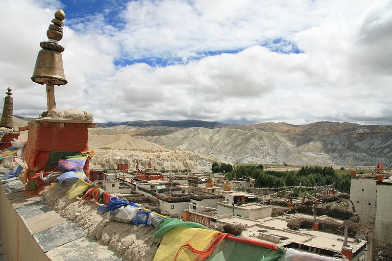
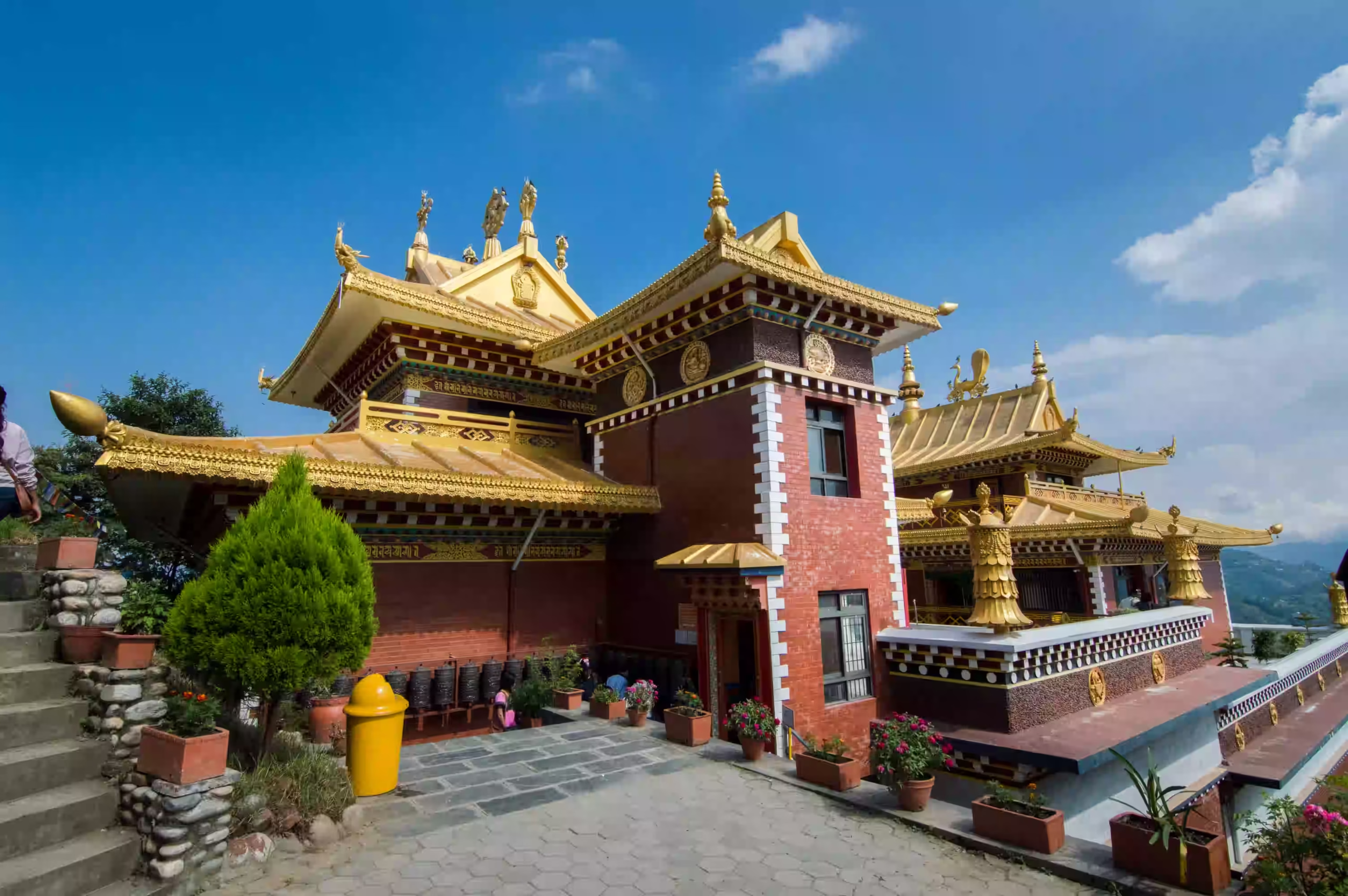
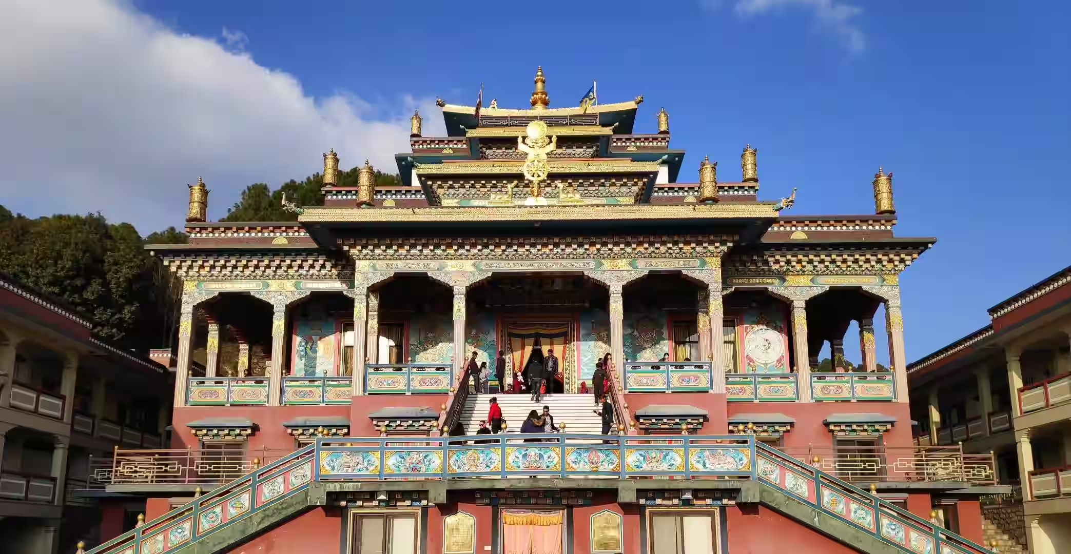
  • Visit Mu Gompa, a major monastery in upper Tsum Valley and a meaningful cultural stop near the Tibetan border area.
  • Explore Chumling, Chhokangparo, Nile, Lokpa, and other traditional Tsum Valley villages.
  • Continue into the Manaslu Circuit through Deng, Namrung, Shyala, Samagaun, and Samdo.
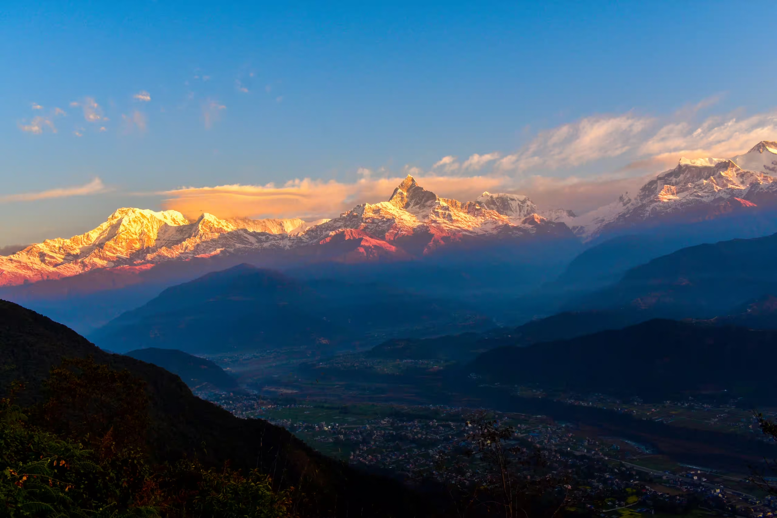
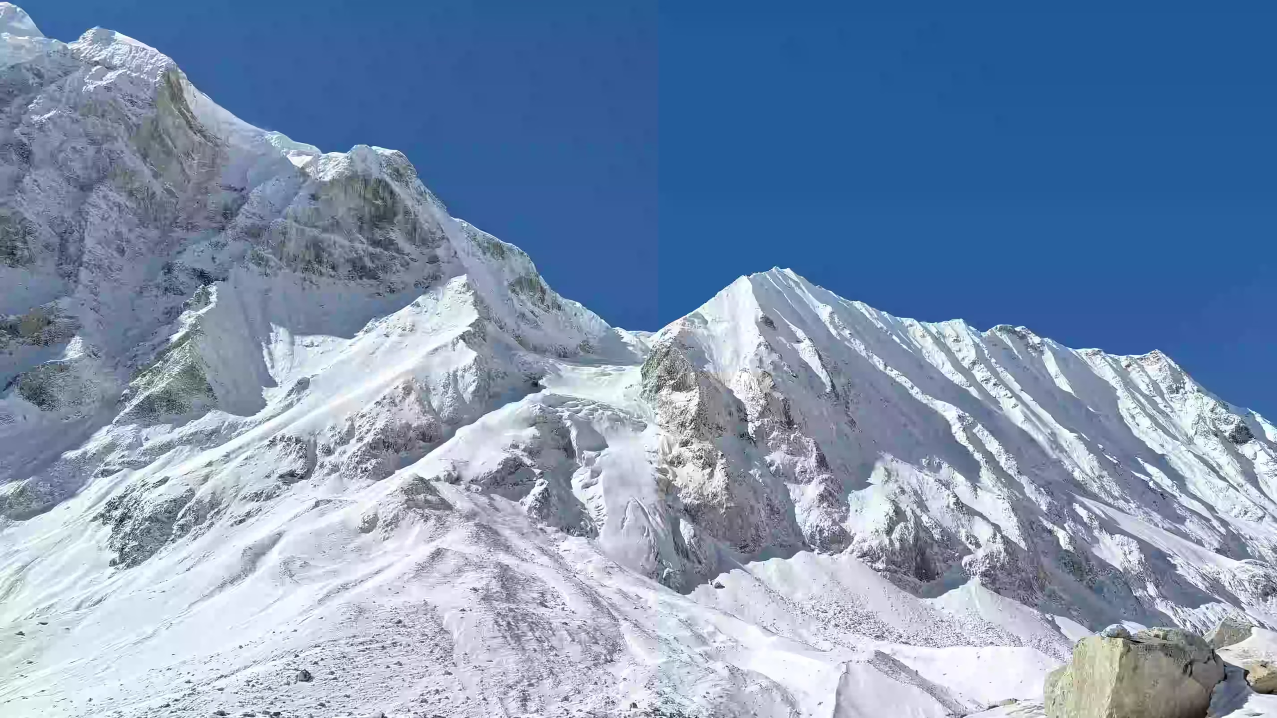
  • See Mount Manaslu, the eighth-highest mountain in the world at 8,163m / 26,781ft.
  • Hike to Pungen Gompa, Birendra Lake, or Manaslu Base Camp from Samagaun.
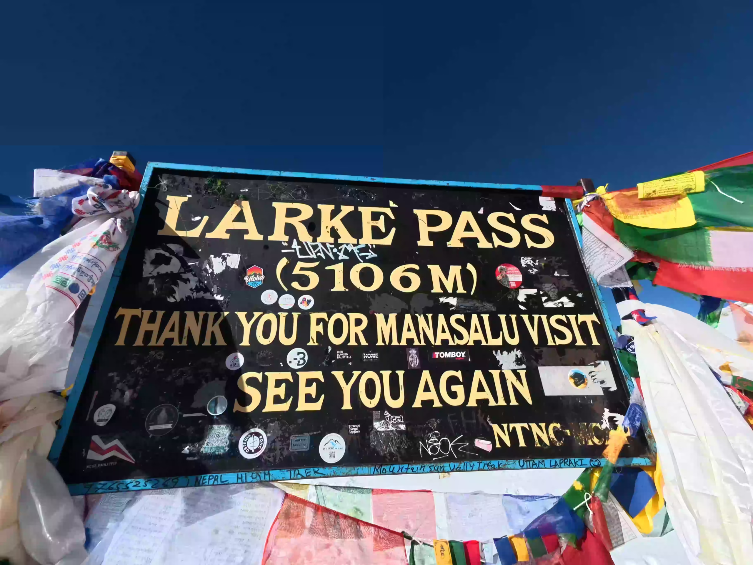
  • Cross Larkya La Pass at 5,106m / 16,752ft, the highest point of the trek.
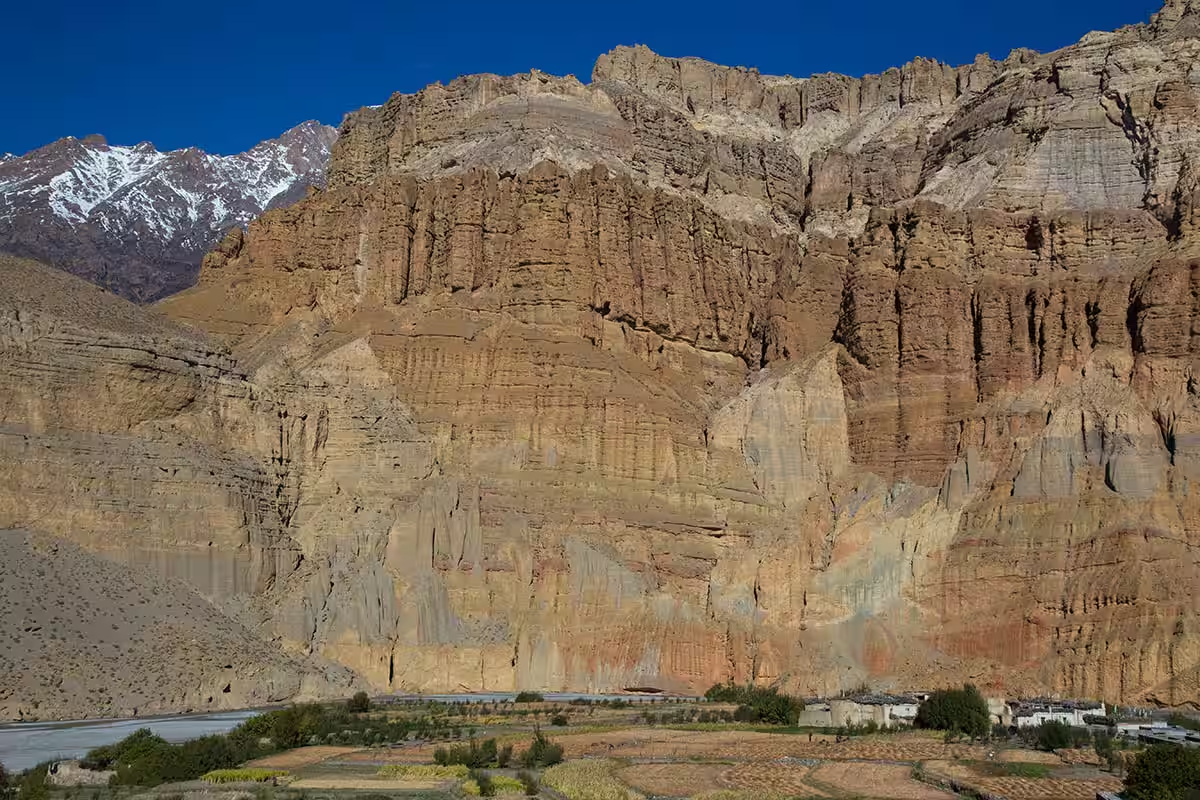
  • Walk through forests, river valleys, waterfalls, cliffs, suspension bridges, yak pastures, and alpine terrain.
  • Experience a quieter trail than the main Everest and Annapurna trekking routes.

Tour Plan

You arrive at Tribhuvan International Airport, where our team welcomes you and transfers you to your hotel. The short drive gives you your first look at Kathmandu's busy roads, local shops, temples, and everyday city life.

Once check-in is complete, you can rest or take a light walk around Thamel. Later, your guide meets you for a short briefing about the route, permits, transport, accommodation, packing, altitude safety, and daily walking plan.

  • Trip duration: 25 to 30 minutes for airport transfer

Note: Keep your passport, travel insurance, and passport-size photos ready for permit processing.
The journey begins in the middle of heavy city traffic, where the busy capital is full of life. Soon, the city disappears behind you. The road winds past green, terraced hills and through deep river valleys, passing rustic country towns and tranquil landscapes.

As you get closer to the lower Manaslu region, the smooth road changes to rough dirt tracks. This makes the ride long and bumpy. The day's travel wraps up as the roaring Budhi Gandaki River welcomes you to Machha Khola, a lively settlement built right along the rushing water.

  • Drive duration: 8 to 10 hours

  • Drive distance: Approx. 160 km / 99 miles

  • Maximum altitude: 869m / 2,851ft

  • Elevation loss: -526m / -1,726ft

Note: Road conditions make this drive feel longer than the distance suggests, so keep water, snacks, motion sickness medicine, and a light jacket in your day bag.

The roaring Budhi Gandaki River guides your morning path. You walk along rocky paths and cross high suspension bridges over the water. The path also takes you through small forests and past tiny villages like Khorlabesi, Tatopani, Dovan, and Yaruphant.

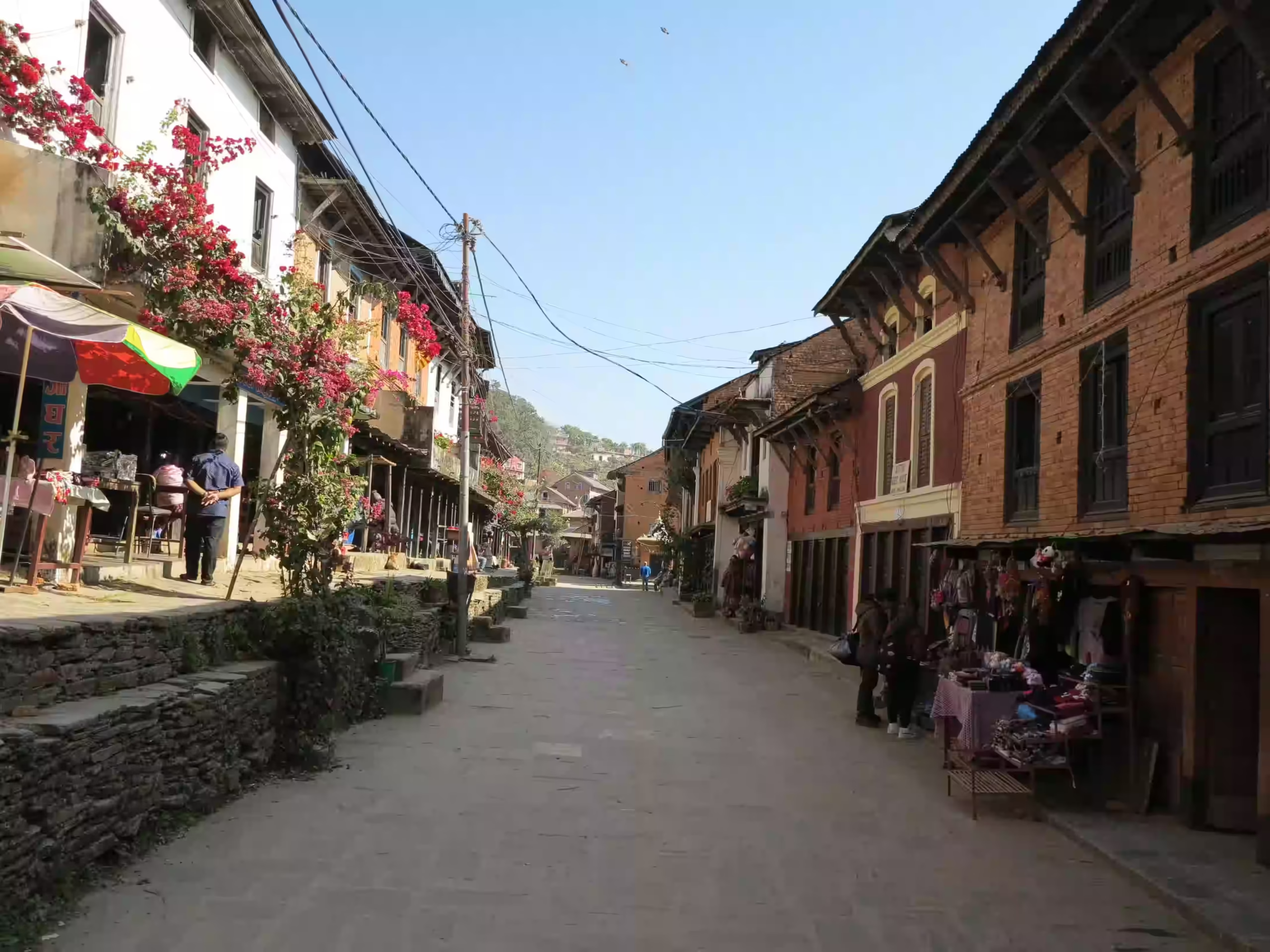
A steady, stone-paved climb brings you into Jagat, where neatly laid flagstone alleys and dry-stone houses sit far removed from the modern world.

  • Trek duration: 6 to 7 hours

  • Trek distance: Approx. 16 km / 10 miles

  • Maximum altitude: 1,340m / 4,396ft

  • Elevation gain/ loss: +471m / +1,545ft

Note: This day has repeated small climbs and descents, so start with a steady pace instead of walking fast.

First, you walk along the river in the morning, and the trail takes you through nice forests and past small villages. Then, you will reach a big village called Philim, which is the perfect place to stop and rest.

Then, you leave the main trail to turn toward Tsum Valley, but the path changes right away. It becomes highly secluded because the valley gets narrower and has fewer hikers. Finally, you walk through deep woods until you arrive in Lokpa to sleep for the night.

  • Trek duration: 6 to 7 hours

  • Trek distance: Approx. 13 km / 8 miles

  • Maximum altitude: 2,240m / 7,349ft

  • Elevation gain/ loss: +900m / +2,953ft

Note: Facilities become more basic from Lokpa onward, so charge your devices when possible and keep enough cash with you.

Leaving Lokpa, the trail enters the quieter side of Tsum Valley through forest paths, narrow tracks, rocky bends, and river valley sections. Suspension bridges add small moments of adventure as the route moves deeper into a less crowded part of the trek.

Later, the trail leads toward Chumling, a calm village in the lower part of Tsum Valley. By the time you arrive, traditional homes, prayer flags, small monasteries, and quiet village life give the overnight stop a clear cultural feel.

  • Trek duration: 4 to 5 hours

  • Trek distance: Approx. 7 to 8 km / 4.3 to 5 miles

  • Maximum altitude: 2,386m / 7,828ft

  • Elevation gain: +146m / +479ft

Note: The trail includes narrow and rocky sections, so follow your guide's instructions carefully.

The day begins with a gradual climb from Chumling to Chhokangparo through farmland, traditional villages, mani walls, chortens, and open mountain slopes. Higher up, the valley opens to wider views and a cooler mountain climate. 

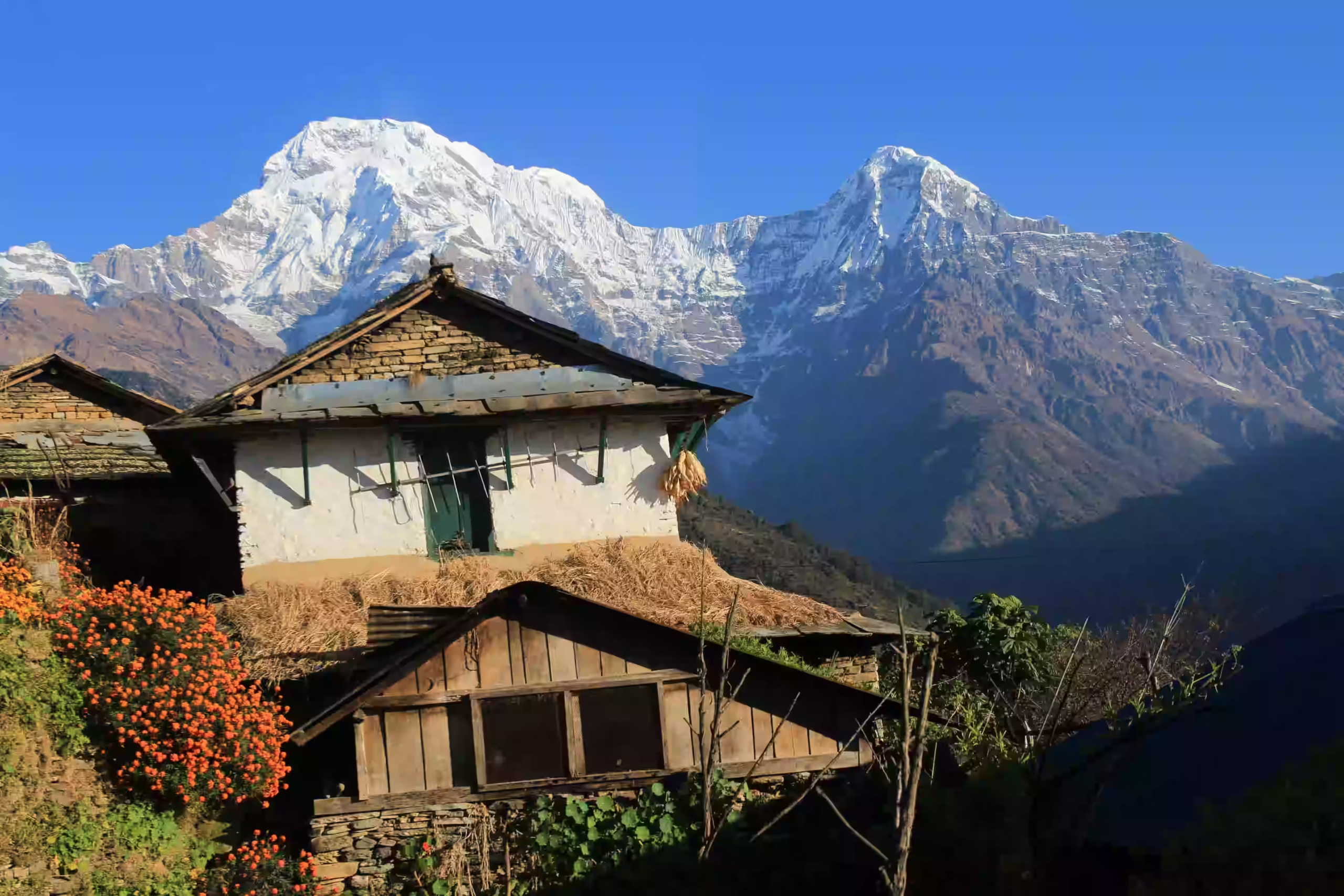
The landscape shifts completely into old Tibetan-style architecture, marked by long mani walls carved with ancient mantras. Your day concludes in Chhokangparo, a village of flat-roofed mud-brick houses framed by the towering, snowy peaks of Ganesh Himal.

  • Trek duration: 5 to 6 hours

  • Trek distance: Approx. 8 to 10 km / 5 to 6.2 miles

  • Maximum altitude: 3,031m / 9,944ft

  • Elevation gain: +645m / +2,116ft

Note: This is a clear altitude gain day, so walk slowly and drink enough water.

The trek from Chhokangparo to Nile takes about 5 to 6 hours and leads deeper into the upper Tsum Valley. As the route moves higher, the land becomes drier and more open, with mani walls, prayer flags, village fields, and Buddhist landmarks along the path.

You reach Nile by the end of the walk and stay overnight in this quiet high-valley village. This stop helps you rest before the acclimatization day and the optional hike to Mu Gompa.

  • Trek duration: 5 to 6 hours

  • Trek distance: Approx. 10 to 12 km / 6.2 to 7.5 miles

  • Maximum altitude: 3,361m / 11,027ft

  • Elevation gain/ loss: +330m / +1,083ft

This day is set aside for acclimatization at the Nile before the longer return toward the lower Tsum Valley. If you feel comfortable at the altitude, you can also hike to Mu Gompa, following open trails, village paths, and quiet highland landscapes.

Mu Gompa is one of the main cultural highlights of Tsum Valley and an old Buddhist monastery near the Tibetan border area. After spending time around the monastery, prayer flags, and wide mountain views, you return to the Nile for rest, dinner, and overnight.

  • Trek duration: 3 to 4 hours

  • Trek distance: Approx. 4 to 6 km / 2.5 to 3.7 miles

  • Maximum altitude: 3,700m / 12,139ft

  • Elevation gain/loss: Approx. +339m / +1,112ft, then return

Note: Mu Gompa is the highest cultural side trip in Tsum Valley, so walk slowly and avoid rushing.

Your return route from Nile follows the upper Tsum Valley back toward Chumling. You pass familiar villages, mani walls, fields, and river sections, but the views feel different as the valley opens in the opposite direction.

As the route descends, the lower altitude makes breathing feel easier than on the past high-valley days. If timing allows, your guide may add a short cultural stop near Rachen Gompa or another nearby site before you reach Chumling for the night.

  • Trek duration: 6 to 7 hours

  • Trek distance: Approx. 16 to 18 km / 10 to 11.2 miles

  • Maximum altitude: 3,361m / 11,027ft

  • Sleeping altitude: 2,386m / 7,828ft

  • Elevation loss: -975m / -3,199ft

Note: Trekking poles help on the downhill sections and reduce pressure on your knees.

You start by leaving Chumling and walking down from the lower Tsum Valley. This path leads you back toward the main Manaslu Circuit trail. Along the way, you walk through quiet forests, cross high suspension bridges, and hike around the small areas of Lokpa and Nyak Phedi.

As you walk, the views begin to change. The hidden valley fades away, and the big mountain scenery of the main Manaslu region appears. By the end of the walk, you reach Deng. This is a peaceful little village where you will spend the night and join the main trekking trail.

  • Trek duration: 5 to 6 hours

  • Trek distance: Approx. 14 to 16 km / 8.7 to 10 miles

  • Maximum altitude: 2,386m / 7,828ft

  • Sleeping altitude: 1,860m / 6,102ft

  • Elevation loss: -526m / -1,726ft

Your trek continues from Deng through forested trails, river crossings, small settlements, and quiet mountain paths. The route takes you through Rana, Bihi, Ghap, and nearby villages, where mani walls and Tibetan-style details become more common. 

Beyond these villages, the valley starts to feel cooler and more alpine as the trail climbs higher. By evening, you reach Namrung, where clear mountain views, stone houses, fields, and quiet lanes create a peaceful overnight setting.

  • Trek duration: 6 to 7 hours

  • Trek distance: Approx. 15 km / 9.3 miles

  • Maximum altitude: 2,630m / 8,629ft

  • Elevation gain/ loss: +770m / +2,526ft

From Namrung, the trail climbs through a beautiful mountain section toward Shyala. The route takes you through Lihi, Sho, Lho, and other small villages, where stone houses, mani walls, fields, and Tibetan-influenced culture become more visible.

Higher up, Mount Manaslu begins to appear more clearly, and the scenery feels wider with every section. Near the final stretch, the trail leads toward Shyala, a quiet village surrounded by snowy peaks and open mountain views near the heart of the Manaslu region.

  • Trek duration: 6 to 8 hours

  • Trek distance: Approx. 15 to 16 km / 9.3 to 10 miles

  • Maximum altitude: 3,500m / 11,483ft

  • Elevation gain/ loss: +870m / +2,854ft

You leave Shyala in the morning and head toward the high ridge of Pungen Gompa. This side trip is a beautiful highlight of the day. It gets you very close to Mount Manaslu and gives you amazing views of snowy peaks and quiet mountain paths.

After enjoying the views at Pungen Gompa, you make a steady descent down to the main trail and continue to Samagaun. You will reach this important village at the foot of Mount Manaslu by afternoon. Here, you can rest and let your body get used to the thin mountain air before climbing even higher tomorrow.

  • Trek duration: 5 to 6 hours

  • Trek distance: Approx. 10 to 12 km / 6.2 to 7.5 miles

  • Maximum altitude: Around 4,050m / 13,287ft near Pungen Gompa

  • Sleeping altitude: 3,530m / 11,581ft

This day helps your body adjust further after the high walk to Pungen Gompa on the previous day. You stay in Samagaun and use the day for rest, light movement, or a guided side hike based on your energy and weather conditions. 

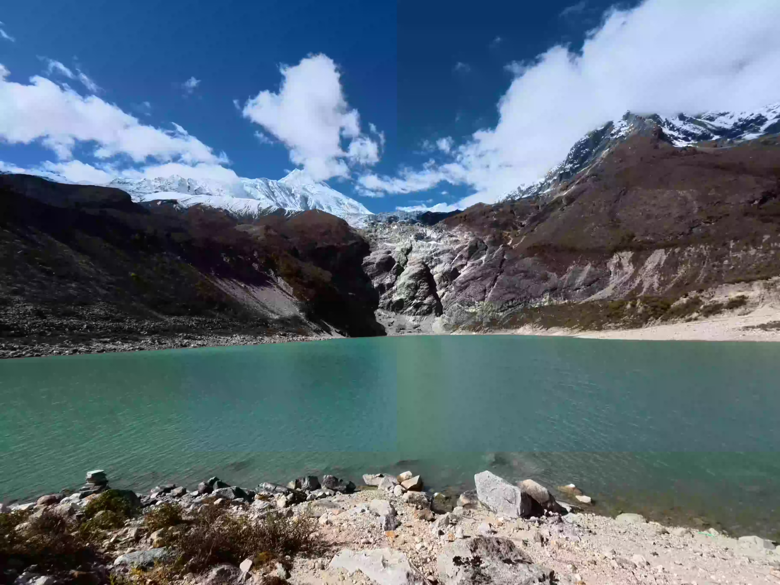
In the morning, your guide will check the weather and see how everyone is feeling. If you feel strong, you can take a challenging hike up to Manaslu Base Camp for incredible, close-up mountain views. For a gentler option, you can take a calmer walk to Birendra Lake to see the beautiful glacial water with much less strain on your body.

  • Walking duration: 3 to 8 hours, depending on the side trip/p>

  • Maximum altitude: Manaslu Base Camp around 4,800m / 15,748ft

  • Birendra Lake altitude: Around 3,691m / 12,110ft

  • Elevation gain/loss: Depends on selected hike

You make a short but important walk from Samagaun to Samdo, gaining height slowly through a wide mountain valley. The route gives you open views of Manaslu, yak pastures, stone walls, and dry highland scenery without making the day too long.

Samdo sits near the old Nepal-Tibet trade route and feels more remote than the villages below. Since you sleep higher here, the rest of the day is easier, so your body can adjust before the route heads toward Dharamshala and the Larkya La Pass.

  • Trek duration: 3 to 4 hours

  • Trek distance: Approx. 8 km / 5 miles

  • Maximum altitude: 3,860m / 12,664ft

  • Elevation gain: +330m / +1,083ft

Note: This is a short walking day, but you sleep higher than the previous night, so keep the pace slow and drink enough water.

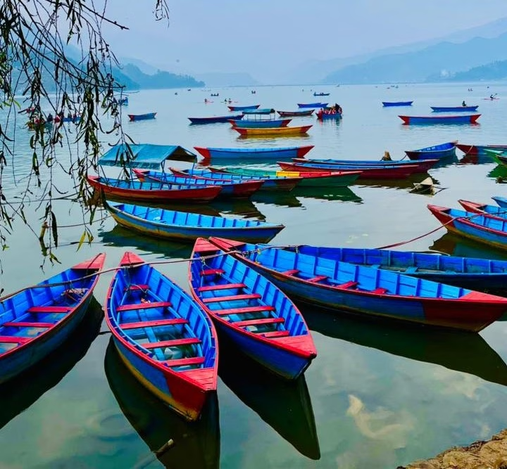
Your trek continues from Samdo toward Dharmasala, also known as Larkya Phedi. The trail moves through dry high-altitude terrain with rocky paths, open slopes, wide mountain views, and a clear feeling of being close to Larkya La Pass.

The final section leads slowly toward Dharmasala, the basic overnight stop before the pass crossing. Facilities are limited here, but sleeping at this point places you closer to Larkya La for the early morning start.
  • Trek duration: 4 to 5 hours

  • Trek distance: Approx. 6 to 8 km / 3.7 to 5 miles

  • Maximum altitude: 4,460m / 14,633ft

  • Elevation gain: +600m / +1,969ft

Note: Dharamsala is cold and very basic, so keep warm clothes, snacks, and essential items close at hand.

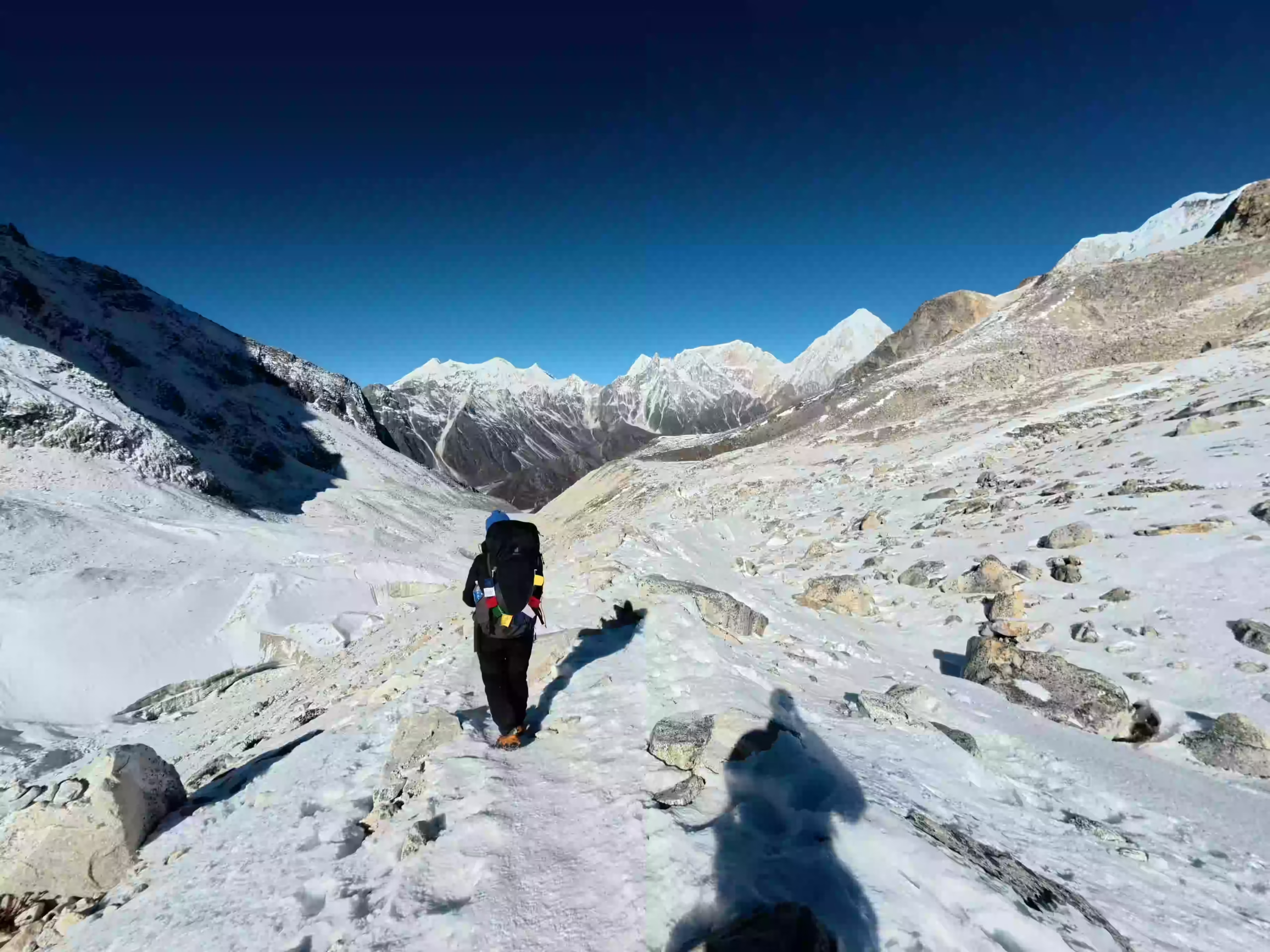
This is the hardest and most rewarding day of the whole trek. You start before sunrise from Dharmasala and walk with a headlamp through cold, dark, high-altitude terrain. The early start helps you cross Larkya La Pass safely before the wind becomes stronger later in the day.

The climb to the pass is long, steep, and rocky, but the mountain views from the top make the effort worthwhile. After enjoying the views of snowy peaks, you begin the long descent toward Bimthang. By late afternoon, you reach the village, where you can rest, eat, and recover from the toughest day of the trek.

  • Trek duration: 8 to 10 hours

  • Trek distance: Approx. 14 to 16 km / 8.7 to 10 miles

  • Maximum altitude: Larkya La Pass, approx. 5,106m–5,160m

  • Sleeping altitude: Bimthang, 3,590m / 11,778ft/p>

  • Elevation gain/loss: +646m / +2,119ft, then -1,516m / -4,974ft

Note: The pass crossing is highly weather-dependent. Make sure your headlamp has fresh batteries, wear your warmest layers (including a windproof outer shell, warm gloves, and a beanie), keep snacks handy in your jacket pocket, and use trekking poles to save your knees on the long descent.

As the morning sun hits the surrounding peaks, you leave Bimthang and head down the mountain. The cold, high trails slowly turn into warmer, greener paths. The snowy views disappear as you walk back into forests, cross wooden bridges, and pass through small villages in the lower hills.

Further down the trail, you pass the village of Tilje. Your multi-week wilderness journey officially connects with the modern road network at Dharapani, where the remote Manaslu trail finally merges with the classic Annapurna Circuit route.

  • Trek duration: 6 to 7 hours

  • Trek distance: Approx. 18 to 22 km / 11.2 to 13.7 miles

  • Maximum altitude: 3,590m / 11,778ft

  • Sleeping altitude: 1,960m / 6,430ft

  • Elevation loss: -1,630m / -5,348f

Note: The final walking point may change between Tilje and Dharapani depending on road conditions and timing.

The return drive begins from Dharapani after breakfast, first following rough mountain roads toward Besisahar. This section can be bumpy, with narrow road bends, river valleys, hillside tracks, small settlements, and changing lower-hill scenery.

From Besisahar, the road gradually connects with wider highways, busier towns, and the main route back to Kathmandu. The long overland journey brings you full circle by late afternoon, depositing you back at your city hotel for hot showers and clean laundry.

  • Drive duration: 8 to 10 hours

  • Drive distance: Approx. 220 to 240 km / 137 to 149 miles

  • Maximum altitude: 1,860m / 6,102ft

  • Ending altitude: 1,860m / 6,102ft

Note: Weather, landslides, or road repairs can affect the drive, so keep this day flexible.

You have your final breakfast at the hotel before preparing for departure. Our team picks you up at the scheduled time and transfers you to Tribhuvan International Airport by private vehicle. The airport transfer marks the end of your Manaslu Tsum Valley Trek.

  • Trek duration: 25 to 30 minutes for airport transfer

Note: Reach the airport at least 3 hours before your international flight.

Cost Includes

Cost Excludes

Trekking Feasibility
Calculating...
Projections represent historical trends and general seasonal elevation conditions.
Route Stop & Elevation
Daytime (Sunny)
Nighttime (Cold)

Note: These are average temperature ranges for the main trekking seasons, spring from March to May and autumn from September to November. Sunny daytime conditions can feel warmer, while nights around Samdo, Dharmasala, and Larkya La Pass can still drop below freezing.

The best time for the Tsum Valley and Manaslu Trek is spring and autumn. Spring runs from March to May and brings warmer days, blooming rhododendrons in lower areas, and good mountain visibility.

Autumn runs from September to November and is the most popular trekking season. The weather is usually stable, the skies are clearer, and the mountain views are often excellent after the monsoon.

Winter is possible for experienced trekkers, but the route becomes very cold around Samagaun, Samdo, Dharmasala, and Larkya La Pass. Snow may also affect the pass crossing.
Monsoon is less ideal because rain can make trails slippery, clouds may block views, and road travel around Machha Khola, Dharapani, and Besisahar can face delays.

Accommodation on the Manaslu Tsum Valley Trek is mainly in local teahouses and mountain lodges. Rooms are simple, usually with twin beds, warm blankets, and shared toilets. In lower villages, the lodges feel more comfortable; however, facilities become basic in Tsum Valley and higher stops like Nile, Samdo, and Dharmasala.

Hot showers, Wi-Fi, and battery charging are available in some places for an extra cost. Still, they may not work every day because remote villages often depend on solar power. Therefore, carry a power bank, enough cash, and small backup items.

Meals are warm, filling, and made for trekkers. You will usually find dal bhat, noodles, fried rice, soup, potatoes, Tibetan bread, pancakes, tea, coffee, and seasonal local dishes. As the trail goes higher, the menu becomes shorter, so pack energy bars, nuts, chocolate, and electrolyte powder for long climbs, cold mornings, and the Larkya La Pass crossing.
The Manaslu Circuit Tsum Valley Trek is a challenging trek. You do not need climbing skills, but you should have good fitness, strong legs, and the ability to walk for several days in remote mountain areas.

The main challenges include long trekking days, basic facilities, high altitude, rough road travel, and the Larkya La Pass crossing. The trail reaches 5,106m / 16,752ft at the pass and includes several nights above 3,500m / 11,483ft, so proper acclimatization and steady pacing matter a lot.
This trek is best for trekkers with previous multi-day hiking experience. However, fit beginners may also complete it with good preparation, guide support, enough rest, and a slow walking pace.

The trail moves through warm lower valleys, cold upper villages, windy high passes, and remote terrain. Pack light but prioritize high-quality layers.

Plan Your Manaslu Tsum Valley Trek

Ready to walk through remote valleys, ancient villages, and scenic high passes in the Manaslu and Tsum Valley regions? Get in touch with Joyful Eco Treks to plan your 20-day Manaslu Circuit Tsum Valley Trek with proper permits, licensed guide support, clear pacing, and full trip planning from arrival to departure.

Frequently Asked Question

How difficult is the Manaslu Tsum Valley Trek, and can beginners do it?

It is a challenging, high-altitude trek. You do not need technical climbing skills, but you must be fit enough to hike 4 to 9 hours daily for nearly three weeks over rough terrain, culminating in crossing Larkya La Pass at 5,106m (16,752ft). While best suited for experienced hikers, determined beginners can complete it safely if they are in excellent physical shape, train for 6 to 8 weeks beforehand, utilize a guide and porter, and maintain a slow, steady pace to acclimatize properly.

You need the Manaslu Restricted Area Permit, Tsum Valley Restricted Area Permit, Manaslu Conservation Area Permit, Annapurna Conservation Area Permit, and Chumnubri Rural Municipality Tourism Fee. Since the route enters restricted areas, conservation areas, and local municipality zones, these permits and fees are required for the full trek. 

Officially, the government requires a minimum of two trekkers to issue the Restricted Area Permits. If you are a solo traveler, you can still trek privately, but you will either need to join an existing permit group or pay for a second ‘ghost’ permit to fulfil the government mandate. 

Officially, the government requires a minimum of two trekkers to issue the Restricted Area Permits. If you are a solo traveler, you can still trek privately, but you will either need to join an existing permit group or pay for a second ‘ghost’ permit to fulfil the government mandate. 

The best time for the Manaslu Tsum Valley Trek is spring and autumn. Spring runs from March to May and brings warmer weather and blooming landscapes. Autumn runs from September to November and is known for clear skies, stable weather, and better mountain views.

The highest point of the Manaslu Tsum Valley Trek is Larkya La Pass at around 5,106m / 16,752ft. It lies between Dharmasala and Bimthang and is the most demanding day of the trek.

Yes, Tsum Valley is worth adding if you want more culture, quieter trails, monasteries, and traditional villages. It adds extra days to the trek, but it gives a deeper experience than doing only the Manaslu Circuit.

Tsum Valley is known for Tibetan-influenced culture, old monasteries, mani walls, chortens, prayer flags, stone villages, and peaceful trails. Mu Gompa, Chhokangparo, Nile, Chumling, and Rachen Gompa are some of the main cultural highlights.

You should train with long walks, uphill hiking, stair climbing, cardio, and leg-strength exercises. Start training at least 6 to 8 weeks before the trek. Walking with a loaded daypack also helps your body prepare for trail conditions.

The Manaslu Tsum Valley Trek is better if you want a longer route with more culture, monasteries, and quieter villages. The Manaslu Circuit Trek is better if you have less time and mainly want the classic circuit with Larkya La Pass.

Yes, you can do only the Tsum Valley Trek if you have limited time or prefer a culture-focused route. A separate Tsum Valley itinerary usually takes around 10 to 14 days, depending on transport and walking pace.

Why book the Manaslu Tsum Valley Trek with Joyful Eco Treks?

Joyful Eco Treks helps arrange the route, permits, licensed guide, transport, accommodation, meals, and pacing for the Manaslu Tsum Valley Trek. Our team plans the journey carefully so you can enjoy Tsum Valley, Mu Gompa, Samagaun, Samdo, Larkya La Pass, and the full Manaslu region with proper support.