Kanchenjunga Hidden Villages: Who Lives There Now
In December 2020, most of Ghunsa stayed for winter. That sounds unremarkable until you know the village’s older rhythm: for generations, all but about a dozen households padlocked their doors by mid-December and walked down to warmer towns until spring. The Kanchenjunga hidden villages that trekking pages reduce to a single line on a day-by-day itinerary are, up close, a set of very different places on very different trajectories. This piece covers who lives in them now, on what economic base, and how a conservation area quietly redrew the daily routines you will walk past without noticing.
If you have already read this site’s work on the region’s sacred traditions and Limbu culture, treat this as the ground-level companion: fewer beliefs and festivals, more households, elevations, and livelihoods.
Table of Contents
ToggleWhy the Kanchenjunga Corridor Opened So Late to Outsiders
Nepal opened this far eastern corner to foreign trekkers only in 1988. For most of the twentieth century, a sensitive border and days of trailless approach kept the valleys sealed off, and that isolation is exactly why the settlements survived as coherent communities rather than dissolving into road-town sprawl. The Kanchenjunga hidden villages owe their intactness to that late opening.
The trade that kept the valleys alive before trekkers arrived
Before a single teahouse existed, the corridor ran on trans-Himalayan exchange. Farmers carried middle-altitude grain up the valleys and traded it across the passes for Tibetan salt and wool, moving livestock between high alpine meadows in summer and lower fields in winter. That seasonal back-and-forth was not a lifestyle choice. It was the load-bearing beam of the whole regional economy, and when one end of it was cut, entire villages tilted. Olangchung Gola is the clearest example of what happens when the beam breaks.
Ghunsa at 3,595 m: The Only Year-Round Village on the Northern Route
Ghunsa holds 46 families. In December 2020, the Kathmandu Post reported that roughly 30 to 32 of them stayed through the winter, against a historical baseline of only about 12, while every other house sat padlocked from mid-December. That reversal is the single most interesting fact about any settlement on the northern route, and no itinerary page mentions it.
The cause is not romantic. A Border Police Office opened in the village within the few years before that report, and its year-round presence made a full-winter economy viable for the first time. Once services and a bit of security stayed put, families no longer had to spend the Rs 200,000 to Rs 300,000 that a two-month migration to Phungling or Kathmandu used to cost them. The economics simply flipped.
There is a neat irony in the name. Ghunsa means “winter place” in Tibetan, a label from the era when this was where herders wintered their stock. For decades the village then emptied every winter. Now it is filling again, and the name fits once more, for the opposite reason.
What the village runs on when the trekkers leave
Strip out tourism, and Ghunsa still stands on yak herding and dairy. The households are classified under the Walung-ngas group and speak Ghunsake, a variant of Walungge in the Central Tibetan language family, which places them culturally with the high-trade communities rather than the farming villages downstream. For a settlement at this altitude, the infrastructure is genuinely substantial: a 35 kW microhydro plant, a government school staffed by six teachers, and a health post. That combination is why Ghunsa doubles as the northern route’s acclimatization stop and, not coincidentally, its point of deepest community contact.
Olangchung Gola: The Trade Hub That Emptied After 1959
Start with the numbers, because they tell the story before any adjective can. According to the Nepal Central Bureau of Statistics, Olangchung Gola held 422 people in 82 households at the 1991 census. By 2011 that had fallen to 239 people in 62 households, a 43 percent drop in twenty years. The reason behind the drop is the established historical account: this village sat at roughly 3,200 m astride the Tipta La, the pass that was its lifeline to Tibet. “Gola” means market in the local dialect, and the market was the point. When the Tibetan border effectively closed in 1959, the salt-and-wool trade that had built the place lost its far terminal. A trading town with nothing left to trade does not collapse overnight. It leaks people, one household at a time, for fifty years, which is precisely the pattern the census captures.
Why the stone houses stand half-empty
The fullest explanation of the ruined-looking lanes is demographic, not atmospheric. According to Walung community documentation, the total Walung population stands at around 24,300 as of 2020, spread across Taplejung, Kathmandu, Darjeeling, and even New York City, while Olangchung Gola itself held those 239 residents in 2011. The village did not die. It dispersed, and its diaspora now outnumbers the remnant by roughly a hundred to one. The households that return each spring come back to a place their relatives left, not one their relatives lost.
At its peak, Olangchung Gola was no backwater. Deki Chholing Gompa, a Nyingmapa monastery of about 450 years, still anchors the settlement, and the eminent ophthalmologist Dr. Sanduk Ruit was born here. That single biographical fact conveys the place’s former vitality more precisely than a paragraph of description could: a border trading post remote enough to close for winter still produced a surgeon of international standing.
Yamphudin and the Rai Farming Villages of the Southern Approach
Cross to the southern side, and the demographics change with the altitude. Yamphudin sits at 2,080 m, a Rai-majority farming community that recorded 764 people in 130 households at the 1991 census, per Nepal’s Central Bureau of Statistics. Twelve of its homes have since been converted into trekker guesthouses, which tells you both that the trail matters here and that agriculture, not tourism, remains the base. Porters resupply higher camps from Yamphudin’s stores, and teams arriving by the southern circuit typically provision here before the fields thin out above. An extra rest day in the village often makes the difference between carrying adequate food into the upper corridor and running short.
Tapethok, Lelep, and Sekathum lower down
Below Yamphudin the villages read as Limbu and Rai country rather than the Bhotia and Sherpa world of the high corridor. Tapethok, near 1,380 m, functions as the first permit checkpoint and held 1,292 people in 253 households at the 1991 census, making it the most populous of the entry settlements on record. Lelep, around 1,860 m, carries administrative weight out of proportion to its size, and Sekathum, near 1,509 m, is an early-stage trekking stop where the trail still follows the river. The precise ethnic breakdown of these three settlements is not well documented in publicly available sources; what is clear is the altitude divide, with a farming-led economy replacing the trade-and-herding heritage of the villages up high.
How the Conservation Area Reshaped Village Life Since 1997
Established in 1997, the Kanchenjunga Conservation Area covers 2,035 sq km, with a buffer zone of 486 sq km added in 2002. For residents of the Kanchenjunga hidden villages, the most tangible rule is not the map boundary, it is the firewood. KCA policy prohibits cutting live trees for firewood anywhere in the area, alongside a ban on hunting, and requires permission from local conservation committees before anyone builds tourist facilities outside village boundaries.
That one prohibition reorders a daily chore. Fuel now has to come from deadfall, and in the highest villages from kerosene or bottled gas hauled in on porter loads. Visitors routinely misread the results, thin construction, careful fuel stacks, unfinished-looking extensions, as poverty, when a good share of it is regulation doing its job.
Where the permit money went, and whether that changed
Here the honest answer is a caveat. A field assessment in 2000 found that entry fees of about 15 US dollars per visitor, across roughly 650 visitors a year at the time, flowed entirely to Nepal’s central government rather than to the villages hosting the trekkers, and the report named this as a structural failure that undermined local support for conservation. That assessment is 26 years old. Whether the revenue split has since been corrected is not confirmed by any current source available for verification, and flagging that gap is more useful than papering over it. Lelep, worth noting, served as the KCA regional headquarters and was among the first villages to receive programs such as a tree nursery, daycare, and literacy classes, so the benefits were real but unevenly distributed.
On permits, the practical news for 2026 is a rule change. According to a June 2026 guide from Swotah Travel, Nepal removed the old minimum-two-trekker requirement on 22 March 2026, so a solo foreigner may now hold a Kanchenjunga Restricted Area Permit individually, provided a licensed guide from a registered agency accompanies them. Several competitor pages still describe solo trekking here as banned. For current fee figures, confirm against the Nepal Tourism Board or the Department of National Parks and Wildlife Conservation before budgeting, since operator blogs quote figures that do not agree with each other.
The Kanchenjunga Hidden Villages Compared: Elevation, Ethnicity, and Lodging
|
Village |
Elevation |
Primary ethnicity |
Population pattern |
Economic base |
Lodging |
|---|---|---|---|---|---|
|
Ghunsa |
3,595 m |
Bhotia / Sherpa (Walung-ngas) |
Year-round: 30-32 of 46 families overwintered (2020) |
Yak herding, dairy, tourism |
Teahouses and lodges |
|
Olangchung Gola |
~3,200 m |
Walung / Bhotia |
Largely seasonal: 239 residents (2011 census) |
Former trans-Himalayan trade, some herding |
One lodge with camping space |
|
Yamphudin |
2,080 m |
Rai |
Year-round: 764 people (1991 census) |
Maize, millet, potato farming |
12 converted guesthouses |
|
Tapethok |
~1,380 m |
Limbu / Rai |
Year-round: 1,292 people (1991 census) |
Farming, permit checkpoint |
Basic teahouse |
|
Lelep |
~1,860 m |
Limbu / Rai |
Year-round |
Farming, KCA regional office |
Teahouse |
|
Sekathum |
~1,509 m |
Limbu / Rai |
Year-round |
Farming, early trekking stop |
Basic teahouse |
Elevations are given as ranges where sources conflict, and every population figure carries its census year because no post-2011 count exists in English-language sources. Read the current numbers as almost certainly different; the pattern, not the decimal, is the point.
What You Notice Walking Through a Kanchenjunga Village
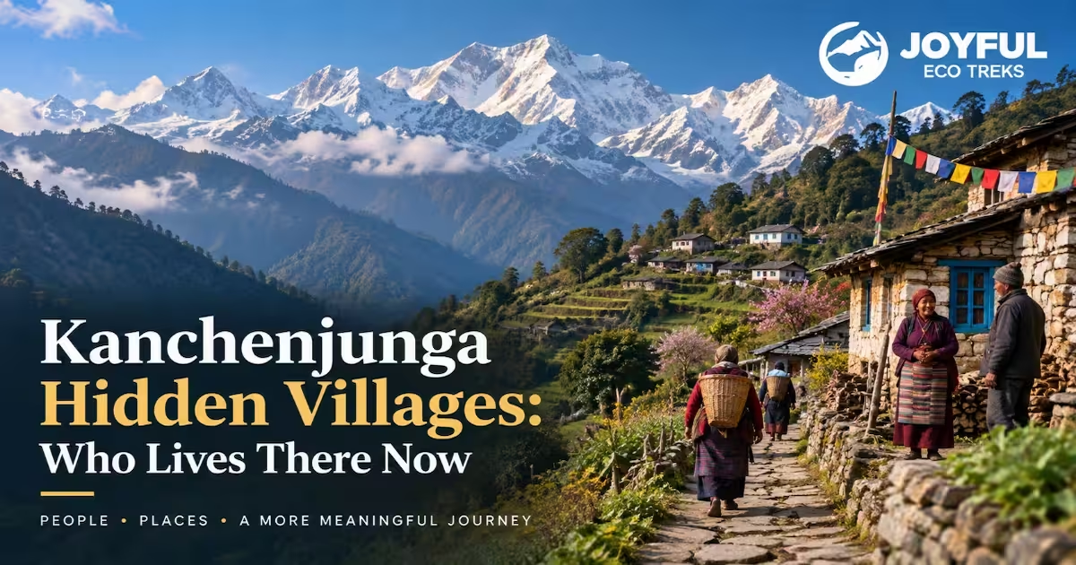
Walk into any of the Kanchenjunga hidden villages, and the built environment tells you which economy you have entered. Up high, chortens and mani walls, water-driven mills, and racks of drying grain or cheese mark a Buddhist herding-and-trade culture; a slim power line running from a microhydro house tells you the village has electricity most trekkers assume it lacks. Lower down, the terracing does the talking, and religious markers thin out as Limbu and Rai households replace the Bhotia ones.
Homestays versus teahouse-only stops
The practical distinction on the ground is how you sleep. Yamphudin, with a dozen homes turned to guesthouses, gives you a farming household to sit with; Olangchung Gola offers essentially one lodge and a camping ground, which is a lot of village for very little bed. Ghunsa sits in between, with enough teahouses to absorb a season’s traffic and enough resident families that a conversation is easy to find. For community contact, match your overnight to a village that still has people in it during your month.
Which Village Deserves an Extra Night
Spend one spare night in Ghunsa. It earns the stop twice: your body needs the acclimatization at that altitude anyway, and it is the one upper village with a stable, growing year-round population to actually talk to. Olangchung Gola rewards a different traveller, one who wants trade history that no other page of the trail documents, standing in a market town that outlived its market. Yamphudin is the natural pause if you are arriving or leaving by the southern circuit: the last or first place with real agriculture underfoot before the high, thin corridor begins.
See how these villages connect across the full route: explore the Kanchenjunga Circuit Trek itinerary.
FAQs
Can foreign trekkers stay overnight in Ghunsa without a camping permit in 2026?
Yes. Ghunsa has teahouses and lodges, so you can sleep indoors without carrying camping gear or a separate camping arrangement. Since 22 March 2026, a solo foreigner can also make the trip with an individual Restricted Area Permit, provided a licensed guide from a registered agency accompanies them, so you no longer need a second trekker to obtain the permit.
Is Olangchung Gola inhabited year-round, or do most households leave before winter?
Largely seasonal now. The 2011 census recorded 239 residents, down from 422 in 1991, and the global Walung population of roughly 24,300 lives mostly elsewhere. Many households return in spring and leave again as the cold and the herding calendar dictate, which is why the village can look half-occupied even in season.
What permits does a foreign trekker need to enter the Kanchenjunga Conservation Area?
Two: a Kanchenjunga Restricted Area Permit and a Kanchenjunga Conservation Area Permit, both arranged through a registered agency with a licensed guide. No TIMS card is required for this region. Confirm current fees with the Nepal Tourism Board or the Department of National Parks and Wildlife Conservation before you travel, since operator quotes vary.
How do children in upper Kanchenjunga villages access secondary schooling?
Ghunsa has a government school staffed by six teachers covering the early grades, but available sources do not confirm how far the school runs or where secondary-age students go. Families in the high corridor commonly send older children to board at lower-elevation towns days away by trail, which is one more reason winter migration was historically so entrenched.
What has the KCAP buffer zone changed for residents who once collected firewood or grazed freely?
The clearest change is fuel. KCA rules prohibit cutting live trees for firewood across the whole area, so households now rely on deadfall and, in the higher villages, on kerosene or bottled gas rather than felling standing timber. Construction and grazing are also subject to local committee oversight, with approval needed before tourist facilities go up outside village boundaries. The live-tree ban is the rule residents feel daily.

All Categories